Quảng Nam, Province in central Vietnam
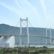
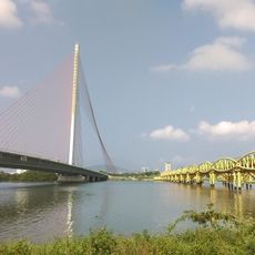
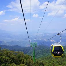
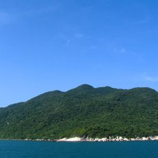
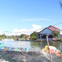
Quảng Nam is a province in the central part of the country that reaches from the Laotian border to the sea and has over 125 kilometers of coast, 15 islands and wide stretches of tropical forest. The landscape shifts between mountain chains in the west, fertile plains along the Thu Bon and Vu Gia rivers, and a sandy coastal strip with fishing villages and small bays.
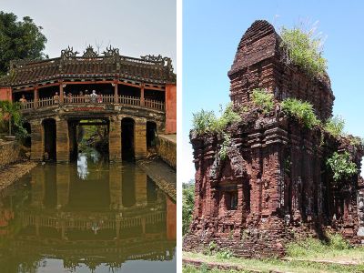
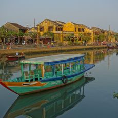
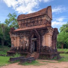
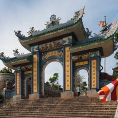
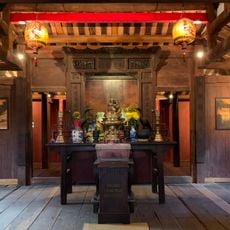
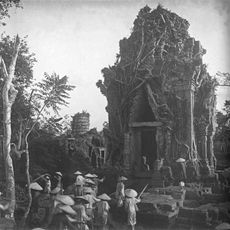
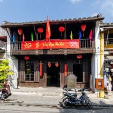
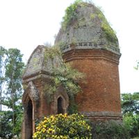
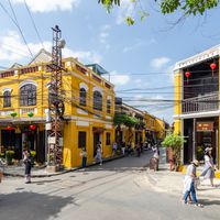
The area came under Vietnamese control in 1471 and developed into an important trading center as the port of Hoi An attracted merchants from China, Japan and Europe. The My Son temple complex had already been the religious center of the Champa kingdom since the 4th century, which ruled here until the conquest by Vietnamese armies.
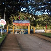
The two heritage sites show two completely different sides of the region: while Hoi An functions as a living port quarter with yellow colonial houses that draw visitors, the brick towers of My Son lie scattered across a forested valley and can be reached through jungle paths.
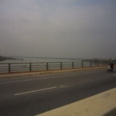
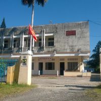
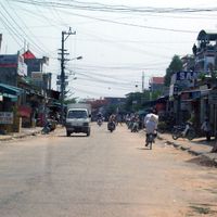
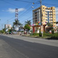
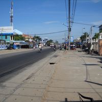
National Route 1 runs through the area and connects Tam Ky, the capital, with other parts of the country, while two nearby airports offer regional connections. The best travel period falls between February and May, when less rain falls and temperatures are more comfortable than during the hot summer months.
The western mountain areas produce Tra My cinnamon and Ngoc Linh ginseng, specialties sold in local markets and grown by smallholder farmers at higher elevations. In the coastal waters, fishermen raise lobsters and collect swallow nests in limestone caves, products sought after across Asia.
The community of curious travelers
AroundUs brings together thousands of curated places, local tips, and hidden gems, enriched daily by 60,000 contributors worldwide.