
Long Hương, ward in Bà Rịa–Vũng Tàu, Vietnam
Location: Bà Rịa
Elevation above the sea: 6 m
GPS coordinates: 10.50083,107.15472
Latest update: March 6, 2025 12:47
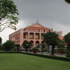
Dragon House
57.3 km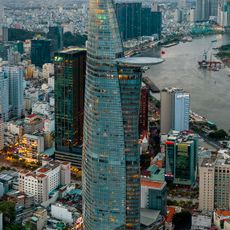
Bitexco Financial Tower
57.8 km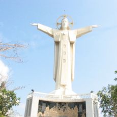
Christ of Vung Tau
20.9 km
Suối Tiên Amusement Park
54.8 km
Phu My Bridge
52.5 km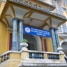
Ho Chi Minh City Museum of Fine Arts
58 km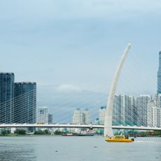
Ba Son Bridge
57.7 km
Saigon Bridge
57.3 km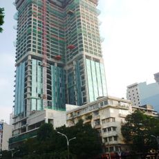
Saigon Times Square
57.9 km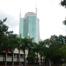
Saigon Trade Center
57.8 km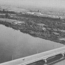
Dong Nai Bridge
56.4 km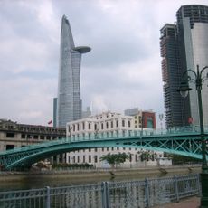
Mong Bridge
57.6 km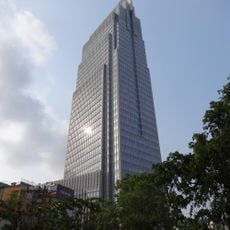
Vietcombank Tower
57.9 km
Ánh Sao Bridge
53.8 km
Rach Chiec Bridge
55.7 km
Rừng Sác Road
29.9 km
Khanh Hoi Bridge
57.5 km
Sunwah Tower
58 km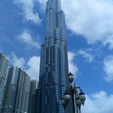
Landmark 81
57.6 km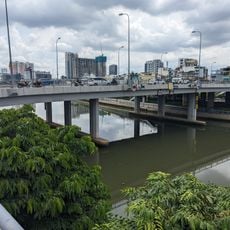
Calmette Bridge
57.8 km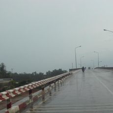
Cầu Ông Thìn
57.1 km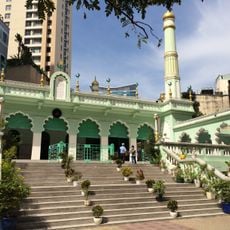
Musulman Mosque
58 km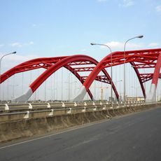
Ong Lon Bridge
56.9 km
Ho Chi Minh City Children's Center
57.3 km
Ao Dai Museum
47.6 km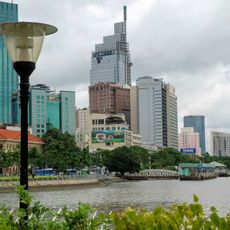
Dragon Wharf - Ho Chi Minh Museum (HCMC Branch)
57.3 km
Thu Thiem Bridge
57.4 km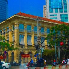
Customs Department of Ho Chi Minh City
57.6 kmVisited this place? Tap the stars to rate it and share your experience / photos with the community! Try now! You can cancel it anytime.
Discover hidden gems everywhere you go!
From secret cafés to breathtaking viewpoints, skip the crowded tourist spots and find places that match your style. Our app makes it easy with voice search, smart filtering, route optimization, and insider tips from travelers worldwide. Download now for the complete mobile experience.

A unique approach to discovering new places❞
— Le Figaro
All the places worth exploring❞
— France Info
A tailor-made excursion in just a few clicks❞
— 20 Minutes