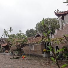
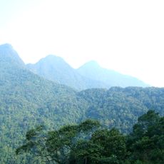
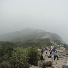
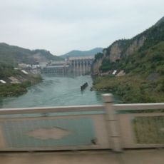
Trà Lĩnh, Huyện cũ thuộc tỉnh Cao Bằng
Location: Cao Bằng
Elevation above the sea: 645 m
GPS coordinates: 22.81250,106.32500
Latest update: March 5, 2025 12:43
Hùng Temple
191.3 km
Ban Gioc–Detian Falls
41 km
Nui Coc Lake
151.9 km
Tam Đảo
160.9 km
Friendship Pass
101.2 km
Chùa Vĩnh Nghiêm
177.9 km
Ham Long Buddhist temple
187 km
Tam Dao National Park
164.9 km
Ba Bể National Park
85.9 km
Viet Tri Stadium
192.4 km
Rock Paintings of Hua Mountain
93.4 km
牡宜遗址
151.4 km
Nguom Ngao Cave
39.2 km
Tra Linh checkpoint
6.7 km
Mount Yen Tu
187.8 km
Longbang Port
6.8 km
Ky Cung Bridge
116 km
Thanh Chuong Viet Palace
179.2 km
Yantan Dam
182.7 km
Vat Bridge
171.7 km
侬氏土司衙署
188.7 km
Thác Bà Lake
180.6 km
Guangnan Ethnological Museum
188.9 km
大王岩岩画
169.5 km
Ha Giang provincial museum
137.6 km
保兴桥
183.8 km
Hoang Su Phi Terraced Rice Fields
171.8 km
牛羊太平桥
181.2 kmReviews
Visited this place? Tap the stars to rate it and share your experience / photos with the community! Try now! You can cancel it anytime.
Discover hidden gems everywhere you go!
From secret cafés to breathtaking viewpoints, skip the crowded tourist spots and find places that match your style. Our app makes it easy with voice search, smart filtering, route optimization, and insider tips from travelers worldwide. Download now for the complete mobile experience.
A unique approach to discovering new places❞
— Le Figaro
All the places worth exploring❞
— France Info
A tailor-made excursion in just a few clicks❞
— 20 Minutes