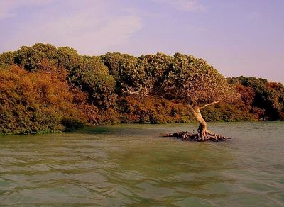
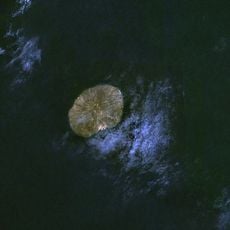
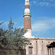
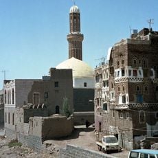
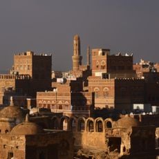
Kamaran, Red Sea island in Kamaran District, Yemen
Kamaran is an island in the Red Sea surrounded by coral reefs. It stretches about 18 kilometers long and 7 kilometers wide.
British forces took control of the island in 1915 during World War I. They administered it from Aden until Yemen gained independence in 1967.
The name Kamaran comes from Arabic and refers to the double reflection of moonlight visible from the island's shores. This poetic feature shapes how locals understand their home.
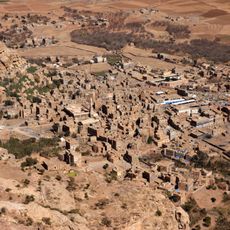
Three fishing villages on the western coast are reachable by boat, though landing can be difficult in rough seas. Visitors should expect limited facilities and basic accommodations.
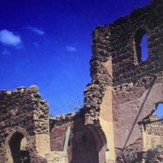
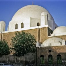
Until 1952, the island served as a major quarantine station for pilgrims traveling to Mecca. Travelers from East Africa and South Asia used this crucial stopover.
The community of curious travelers
AroundUs brings together thousands of curated places, local tips, and hidden gems, enriched daily by 60,000 contributors worldwide.