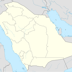
Geography of Yemen, Geographic region in Arabian Peninsula, Yemen
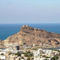
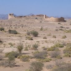
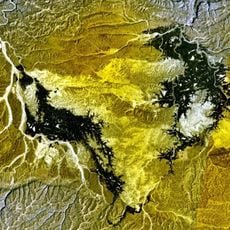
Yemen is a geographic region on the Arabian Peninsula bordered by Saudi Arabia, Oman, the Gulf of Aden, the Arabian Sea, and the Red Sea. The land is shaped by mountain ranges, plateaus, and coastal plains that create varied terrain and different climate zones.
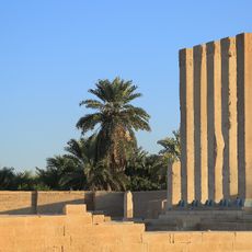
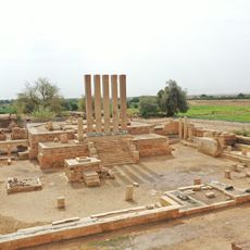
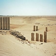
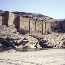
In ancient times, the region held strategic importance as controller of frankincense and myrrh trade routes. Romans named it Arabia Felix, meaning Happy Arabia, recognizing its wealth generated through commerce in these valuable goods.
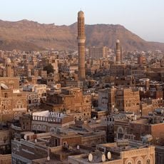
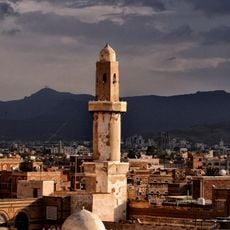
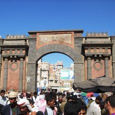
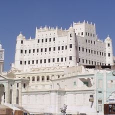
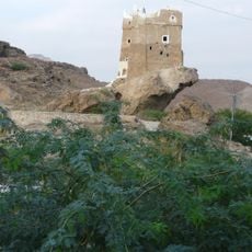
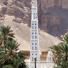
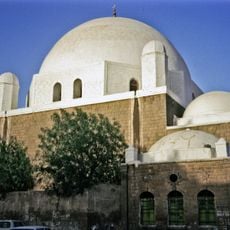
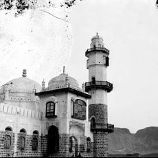
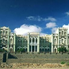
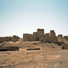
The name Yemen derives from ancient references to the southern part of the Arabian Peninsula and carries meanings connected to the right side or blessing in Arabic. Local customs, building styles, and daily practices reflect centuries of distinct regional traditions.
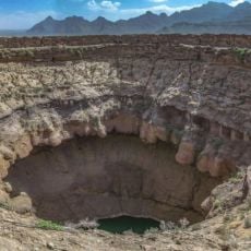
The region contains diverse natural resources including petroleum, fish, rock salt, marble, coal, gold, lead, nickel, and copper distributed across different geological zones. This variety of raw materials is spread throughout the territory and influences the economic activities of different areas.
Jabal an Nabi Shu'ayb rises above 3,700 meters (12,300 feet) and stands as the highest peak between East Africa and Iran on the Arabian Peninsula. This mountain represents a geographic record that makes it a defining landmark for the entire region.
The community of curious travelers
AroundUs brings together thousands of curated places, local tips, and hidden gems, enriched daily by 60,000 contributors worldwide.