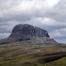
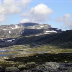
Hardangervidda, Mountain plateau in Hol Municipality, Norway.
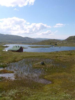
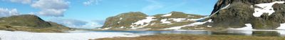
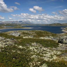
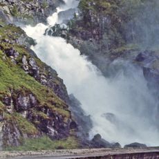
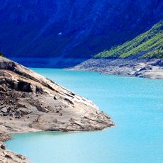
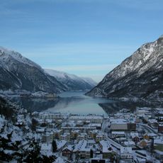
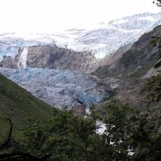
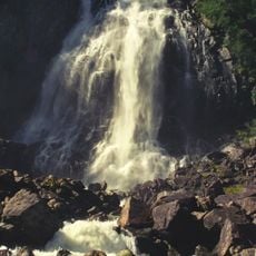
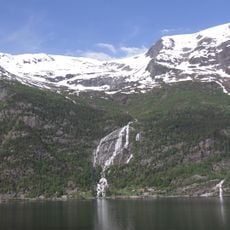
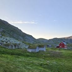
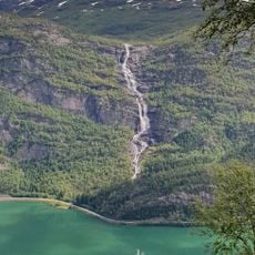
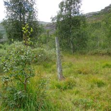
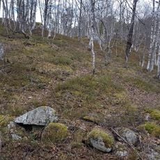
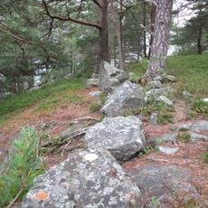
Hardangervidda is a high mountain plateau in central Norway that spans thousands of square kilometers and is defined by moorlands, lakes, and mountain streams. The terrain lies above 1,000 meters elevation and presents a wide, open landscape with minimal tree cover.
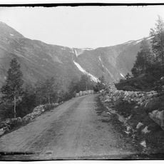
The plateau has been inhabited since the Stone Age and served as a vital trade route connecting eastern and western Norway. Ancient paths demonstrate how long humans have crossed this harsh terrain to move goods and people between regions.
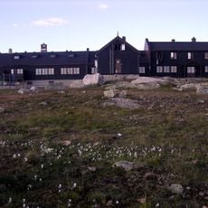
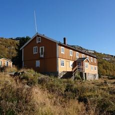
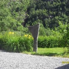
The place is central to a long-standing tradition of mountain exploration that draws Norwegians seeking connection with the wilderness. The scattered cabins and marked routes reflect a way of life where spending time in the high country is woven into the culture.
Winter access requires careful planning due to snow closure, though organized convoys operate behind snowplows on maintained routes. Summer months open the region for hiking and outdoor activities, with numerous trails and water access points available throughout.
The plateau hosts Europe's largest wild reindeer herd, which migrates seasonally between different areas. These animals are integral to the ecosystem and shape the landscape's appearance throughout the year.
The community of curious travelers
AroundUs brings together thousands of curated places, local tips, and hidden gems, enriched daily by 60,000 contributors worldwide.