
Nahat, summit in Pakistan
Location: Balochistan
Elevation above the sea: 1,248 m
GPS coordinates: 30.59167,69.76250
Latest update: August 18, 2025 02:02
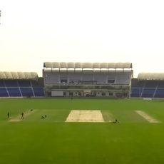
Multan Cricket Stadium
175.6 km
Quaid-e-Azam Residency
196.5 km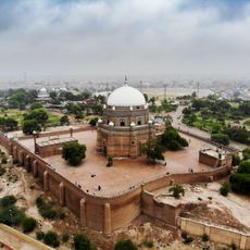
Tomb of Shah Rukn-e-Alam
169.8 km
Tomb of Bibi Jawindi
196.8 km
Takht-e-Sulaiman
122.6 km
Gomal Zam Dam
168.1 km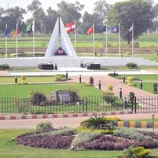
Multan Cantonment
167.3 km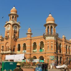
Ghanta Ghar
169.5 km
Ziarat Juniper Forest
195.8 km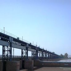
Panjnad
196.2 km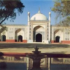
Shahi Eid Gah Mosque
170.2 km
Jamia Sakeena-Tu-Sughra
155 km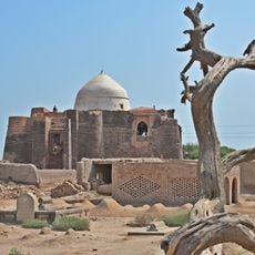
Shrine of Khalid Walid
188.4 km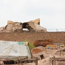
Prahladpuri Temple, Multan
169.7 km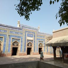
Shrine of Jalaluddin Bukhari
195.3 km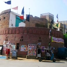
Bloody Bastion
170.5 km
Tomb of Shah Ali Akbar
166.1 km
Tomb of Baha'al-Halim
195.2 km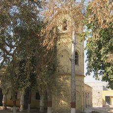
Seet pur
182.9 km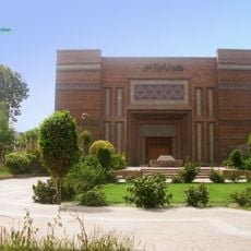
Multan Arts Council
167.9 km
Cathedral of the Holy Redeemer
166.6 km
Shrine of Nuriya
195.2 km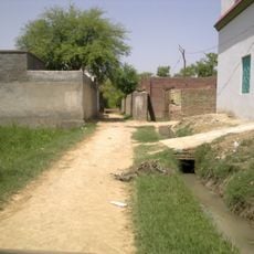
Khalid Abad
104.1 km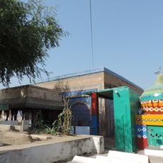
Shrine of Jahaniyan Jahangasht
195.2 km
Shrine of Hazrat Makhdoom Rashid
190.2 km
Shrine of Shamsuddin Sabzwari
170.9 km
Nishtar Chowk Flyover
168 km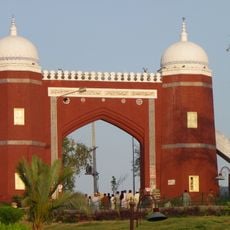
Bab-e-Qasim
169.8 kmReviews
Visited this place? Tap the stars to rate it and share your experience / photos with the community! Try now! You can cancel it anytime.
Discover hidden gems everywhere you go!
From secret cafés to breathtaking viewpoints, skip the crowded tourist spots and find places that match your style. Our app makes it easy with voice search, smart filtering, route optimization, and insider tips from travelers worldwide. Download now for the complete mobile experience.

A unique approach to discovering new places❞
— Le Figaro
All the places worth exploring❞
— France Info
A tailor-made excursion in just a few clicks❞
— 20 Minutes