Amarante, Administrative center in Porto, Portugal.
Amarante is a municipality in northern Portugal centered around the Tâmega River, spanning about 301 square kilometers. It comprises 26 civil parishes, including Aboadela and Vila Caiz, each serving as distinct communities within the larger area.
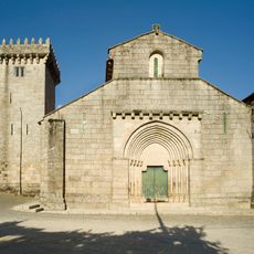
King John III authorized the conversion of a local church into a Dominican monastery during the 16th century. This religious development strengthened the town's role as a center of spiritual life in the region.
Amarante joined UNESCO's Creative Cities Network as a City of Music in 2017, marking its recognition for deep ties to musical culture. The local community continues to celebrate this identity through events and performances throughout the year.
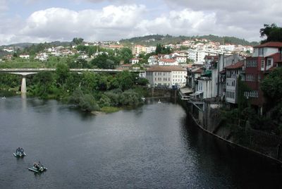
Visitors should focus on the town center around the Ponte São Gonçalo bridge, which crosses the Tâmega River and offers good viewpoints. The area is easily walkable, with pedestrian zones in older quarters that make exploration straightforward.
The Ponte São Gonçalo bridge was a decisive location during the Peninsular War, where Portuguese and English forces repelled French troops. This episode remains part of local memory, with stories still told by residents about this moment of resistance.
The community of curious travelers
AroundUs brings together thousands of curated places, local tips, and hidden gems, enriched daily by 60,000 contributors worldwide.