Enable Location

We need your location to show you interesting places around you

Discover nearby places

Find interesting locations and hidden gems around you

Precise directions

Get accurate directions and distances to places

Your location is never shared with other users. It's only used when you tap the location button.

Pico Ruivo

Log in to your account

Start exploring — it's free

Trusted by 61,475 travelers worldwide

Continue with Google
Continue with Apple
or

We will send you a code to connect

By continuing, you accept our Terms and Conditions and our Privacy Policy

Check your inbox

We've sent a pincode in your inbox. Please enter the code below.

Pico Ruivo

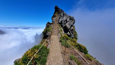
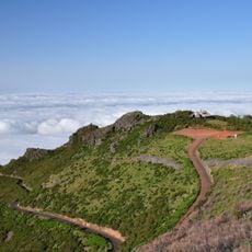
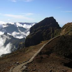
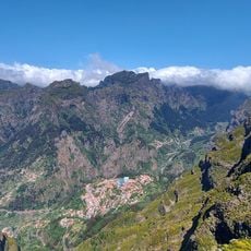
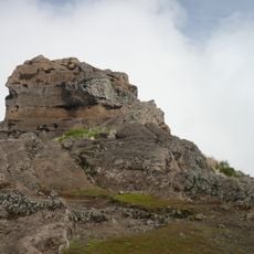
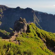
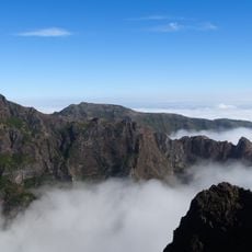
Pico Ruivo, Mountain summit in Madeira, Portugal.

Description

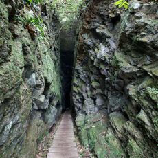
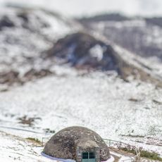
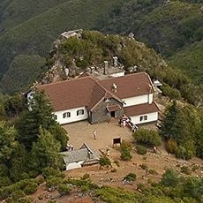
Pico Ruivo is the highest peak on Madeira Island, rising to about 1,862 meters above sea level with a rocky summit visible from across the island. Marked trails lead up the mountain through varying terrain, and a shelter near the top provides water and basic facilities for walkers.

History

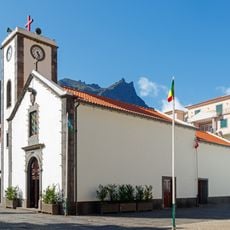
The peak was first documented to be climbed by British naturalist William A. C. Alston in 1880, who recorded his observations about the mountain's geological features. Over time, it became an established destination for hikers and has attracted climbers from across the world.

Culture

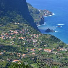
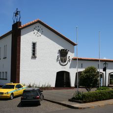
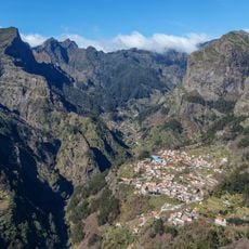
The mountain holds deep meaning for locals as a landmark central to island life, and visitors from around the world gather at the summit to share views across the archipelago. People use the trails regularly for hiking and reflection, making it a place where the community and travelers experience nature together.

Practical

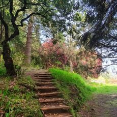
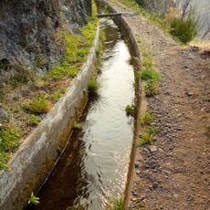
The trails are well-marked and accessible for most hikers, but weather can shift quickly so bring layers and wind-resistant clothing. Plan to start early in the day and allow several hours for the climb, as the shelter near the top offers rest and water for those who need it.

Did you know?

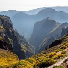
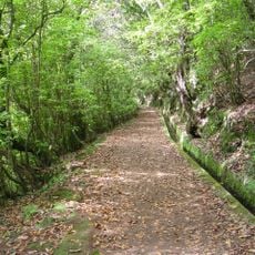
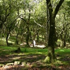
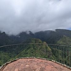
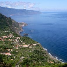
Multiple viewing points along the trails offer different perspectives of the Laurisilva forest below, one of the last remaining laurel forest systems in the world. This ancient woodland is recognized on the UNESCO World Heritage list and reveals its layers as you move around the mountain.

Location
Address
Pico Ruivo, 9030, Portugal
GPS coordinates
32.75888,-16.94276
Latest update
December 6, 2025 16:02

AroundUs brings together thousands of curated places, local tips, and hidden gems, enriched daily by 60,000 contributors worldwide. Discover all places nearby (Faial).

Madeira tour: gardens, viewpoints, mountains

This collection covers the main natural areas and cultural sites across Madeira, a Portuguese island of volcanic origin in the Atlantic Ocean. The route connects coastal regions with highland areas, showcasing the diverse vegetation that results from the subtropical climate and varied elevation...

« Pico Ruivo - Mountain summit in Madeira, Portugal » is provided by Around Us (aroundus.com). Images and texts are derived from Wikimedia project under a Creative Commons license. You are allowed to copy, distribute, and modify copies of this page, under the conditions set by the license, as long as this note is clearly visible.

Discover hidden gems everywhere you go!

From secret cafés to breathtaking viewpoints, skip the crowded tourist spots and find places that match your style. Our app makes it easy with voice search, smart filtering, route optimization, and insider tips from travelers worldwide. Download now for the complete mobile experience.

Around Us App Screenshot

A unique approach to discovering new places

Le Figaro

All the places worth exploring

France Info

A tailor-made excursion in just a few clicks

20 Minutes

Around Us
Travel Guide & Maps
Download

Send to your phone

QR Code
1

Open the camera app on your mobile.

2

Point at the QR code with your camera. A notification will appear.

3

Tap the notification to open the link.