Iezer Mountains, Mountain range in Southern Carpathians, Romania
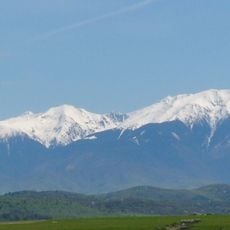
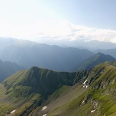
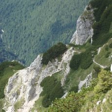
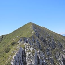
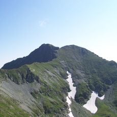
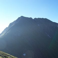
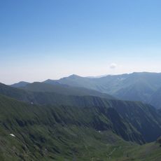
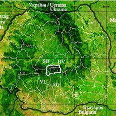
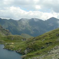
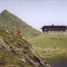
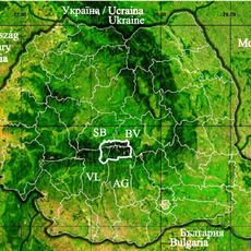
The Iezer Mountains stretch between the Dâmbovița River to the east and the Râul Doamnei to the west, within Argeș County. The massif covers 535 km² and its highest point is Roșu Peak at 2,470 m. Inside the range, below Iezerul Mare Peak, lies the glacial Iezeru Mare lake at 2,135 m, and two smaller Boarcăs lakes sit under Roșu Peak.
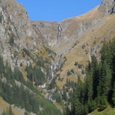
The range formed as part of the Carpathians during ancient tectonic activity. Ice ages heavily shaped its forms and left traces that remain visible in the landscape today.
Local herders use the mountain meadows in summer to graze their flocks, keeping traditions that have been part of daily life for generations. This pastoral way of living still shapes what you see in the higher areas.
Hiking is most accessible from June through September when snow has melted from the trails. Bring sturdy footwear and weatherproof clothing since conditions at higher elevations change quickly.
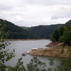
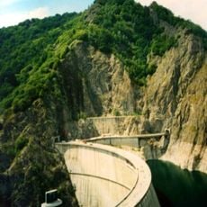
The massif holds two small glacial lakes, the Boarcăs lakes, below Roșu Peak, while the larger Iezeru Mare lake sits at 2,135 m beneath Iezerul Mare Peak in a basin ringed by bare ridges. The Râușor dam inside the range created the Râușor reservoir, fed by the Râușor and Râul Târgului.
The community of curious travelers
AroundUs brings together thousands of curated places, local tips, and hidden gems, enriched daily by 94,689 contributors worldwide.