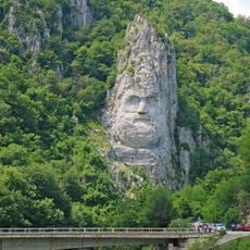
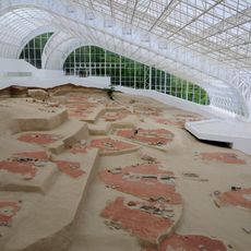
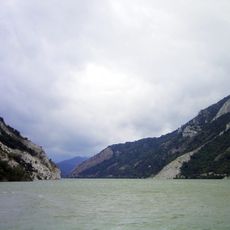
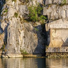
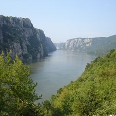
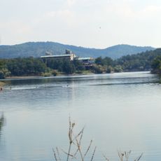
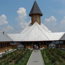
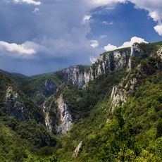
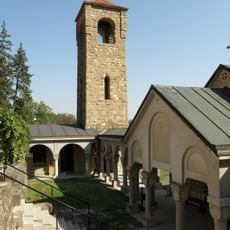
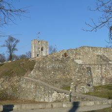
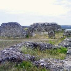
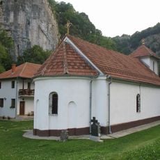
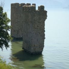
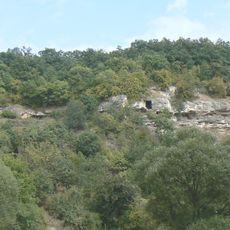
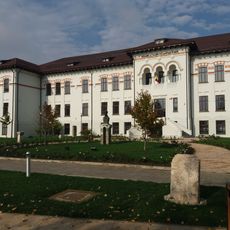
Bor District, District of Serbia
Location: Serbia
Inception: January 29, 1992
Capital city: Bor
Elevation above the sea: 457 m
Website: http://borski.okrug.gov.rs/
Website: http://borski.okrug.gov.rs
GPS coordinates: 44.08333,22.10000
Latest update: March 2, 2025 19:57
Statue of Decebalus
63.9 km
Lepenski Vir
53 km
Đerdap national park
72.9 km
Tabula Traiana
65.9 km
Iron Gates Natural Park
61.7 km
Bor Lake
7.1 km
St. Anne's Monastery
73.9 km
Lazar's Canyon
15.4 km
Rajko's Cave
41.5 km
Miroč
58.4 km
Lazar's Cave
12.5 km
Stadionul Municipal
76.5 km
Novi Stenik Monastery
22.2 km
Fetislam
71.6 km
Diana Fortress
72.7 km
Bogovina Cave
24.5 km
Bukovo monastery
34.6 km
Severin Medieval Fortress
75.1 km
Castra Drobeta
75.4 km
Rudna Glava
26.5 km
Vratna monastery
38.4 km
Tricule Fortress
44.3 km
Albotin Monastery
38.2 km
Iron Gates Region Museum
75.3 km
Vratna Gates
38.4 km
Traian National College
74.9 km
Tilva Njagra
8.4 km
House of Stevan Mokranjac in Negotin
37.8 kmReviews
Visited this place? Tap the stars to rate it and share your experience / photos with the community! Try now! You can cancel it anytime.
Discover hidden gems everywhere you go!
From secret cafés to breathtaking viewpoints, skip the crowded tourist spots and find places that match your style. Our app makes it easy with voice search, smart filtering, route optimization, and insider tips from travelers worldwide. Download now for the complete mobile experience.
A unique approach to discovering new places❞
— Le Figaro
All the places worth exploring❞
— France Info
A tailor-made excursion in just a few clicks❞
— 20 Minutes