Sörmland Trail

Log in to your account

AroundUs is a community-driven map of interesting places, built by curious explorers like you. It grows with every review, story, and photo you share.
Connect to save your favorite spots, contribute locations, and create personalized routes.
By continuing, you accept our Terms and Conditions and our Privacy Policy

Sörmland Trail

Add to collection
Map
Suggest a change
Share

Sörmland Trail, Hiking trail network in Södermanland, Sweden

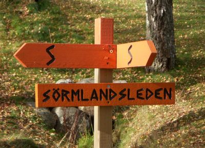
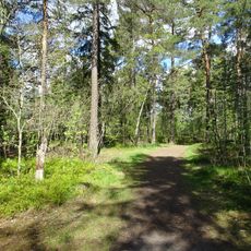
The Sörmland Trail is a hiking network extending over 1000 kilometers through forests, lakes, and rocky terrain across multiple municipalities south of Stockholm. The system includes 62 main sections and 36 connecting routes marked with orange blazes on trees and posts.

The trail was established in 1973 as Sweden's first lowland hiking network, connecting numerous villages and communities across the region. This founding shaped the development of long-distance trails elsewhere in the country.

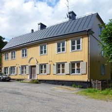
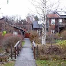
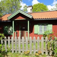
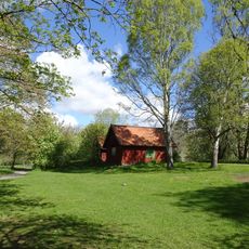
The trail passes historic castles and connects rural communities that reflect traditional life in the region. Hikers encounter old farmsteads along the way and see how the landscape has been shaped by generations of people.

The trail network features regular shelters and water sources positioned along the route, allowing hikers to rest between sections. It is wise to visit during dry weather and wear sturdy footwear, as the terrain is uneven in many places.

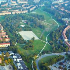
The route passes by Vensbrinksberget, the highest peak in the region, and crosses through forest sections in Tyresta National Park with ancient tree growth. These areas showcase nature that has remained largely unchanged for centuries.

Location: Södermanland

Location: Nacka Municipality

Location: Tyresö Municipality

Location: Haninge Municipality

Location: Huddinge Municipality

Location: Nynäshamn Municipality

Location: Botkyrka Municipality

Location: Södertälje Municipality

Location: Gnesta Municipality

Location: Strängnäs Municipality

Location: Flen Municipality

Location: Eskilstuna Municipality

Location: Katrineholm Municipality

Location: Nyköping Municipality

Location: Norrköping Municipality

Location: Oxelösund Municipality

Location: Trosa Municipality

Inception: 1973

Website: https://sormlandsleden.se

GPS coordinates: 59.29188,18.11687

Latest update: December 9, 2025 18:42

Photos
Reviews

Visited this place? Tap the stars to rate it and share your experience / photos with the community! Try now! You can cancel it anytime.

« Sörmland Trail - Hiking trail network in Södermanland, Sweden » is provided by Around Us (aroundus.com). Images and texts are derived from Wikimedia project under a Creative Commons license. You are allowed to copy, distribute, and modify copies of this page, under the conditions set by the license, as long as this note is clearly visible.

Discover hidden gems everywhere you go!

From secret cafés to breathtaking viewpoints, skip the crowded tourist spots and find places that match your style. Our app makes it easy with voice search, smart filtering, route optimization, and insider tips from travelers worldwide. Download now for the complete mobile experience.

Around Us App Screenshot

A unique approach to discovering new places

Le Figaro

All the places worth exploring

France Info

A tailor-made excursion in just a few clicks

20 Minutes