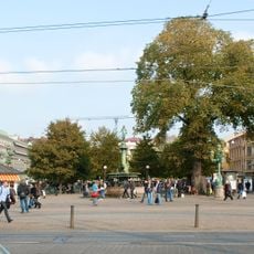
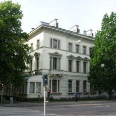
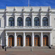
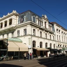
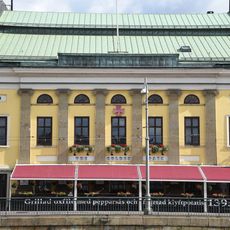
Inom Vallgraven, Historical district in central Gothenburg, Sweden
Inom Vallgraven is the district inside Gothenburg's old moat, bounded by Stora Hamnkanalen to the north and Vallgraven to the south. Its western half was built on Eklanda village meadows and its eastern half on Gullberg meadows, both crown farms within the 1621 donation land. The area covers 64 hectares and preserves the original street grid, moat, canals and fortification remains; yellow brick is a recurring feature.
The name comes from its location inside the moat that surrounded the city fortifications, established through city privileges in 1621. Over following centuries, the area developed into a major urban center with multiple building phases.
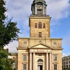
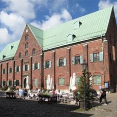
The name Inom Vallgraven means "inside the moat", after the Vallgraven canal that still bounds the district on the south. Within it stand the Domkyrkan, the Tyska kyrkan and the Kronhuset, the 1640s crown arsenal, while the Feskekörka fish market and the Saluhallen food hall keep the old market trade visible. The district forms the core of the city founded with privileges in 1621.
The district is bounded by Rosenlundskanalen and Vallgraven in the south, Drottningtorget and Nils Ericsonsgatan in the east, and Packhusplatsen, Skeppsbron and Göta älv in the west. Stora Hamnkanalen separates it from Nordstaden. The terrain rises on the Stora and Lilla Otterhällan hills, called Otterhällan and Kungshöjd, so expect slopes between the waterfront and the upper streets.
The district's western half was built on the meadows of the hamlet Eklanda and its eastern half on Gullbergs ängar, both former crown farms. The whole area belongs to the original donation land tied to the city privileges of 1621. The 1739 city chronicler Eric Cederbourg measured the inner city at 4,500 alnar within the fortifications.
The community of curious travelers
AroundUs brings together thousands of curated places, local tips, and hidden gems, enriched daily by 94,046 contributors worldwide.