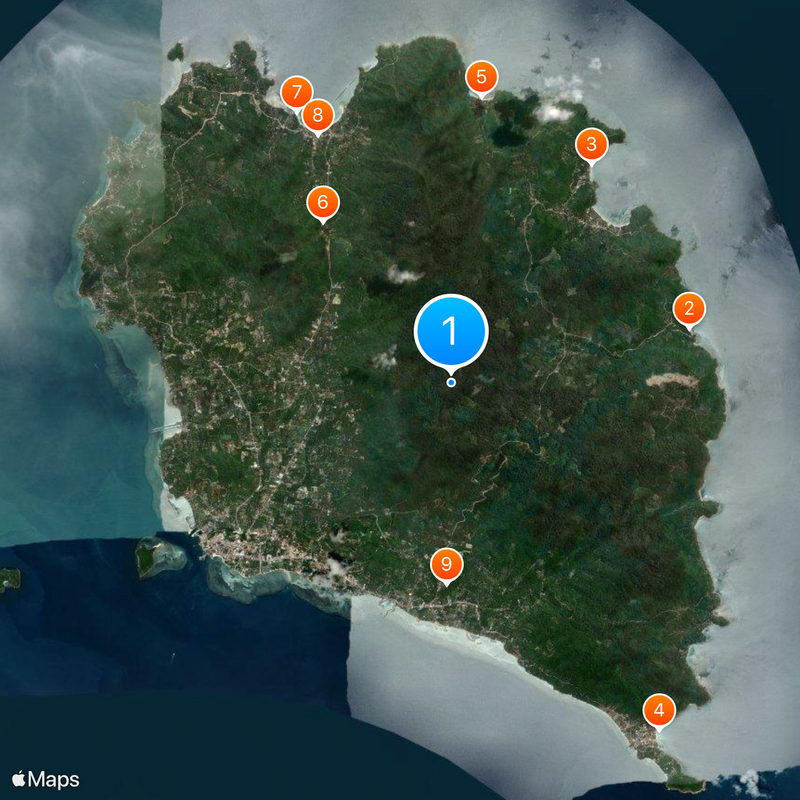
Ko Pha-ngan, Island destination in Gulf of Thailand
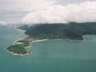
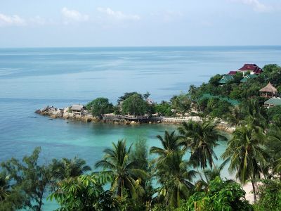
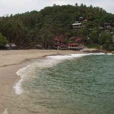
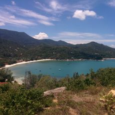
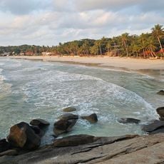
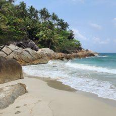
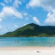
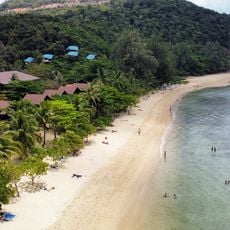
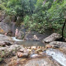
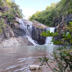
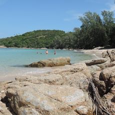
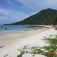
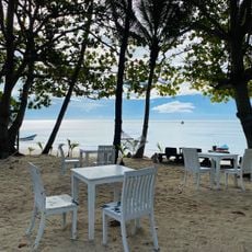
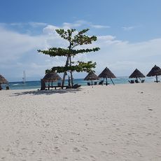
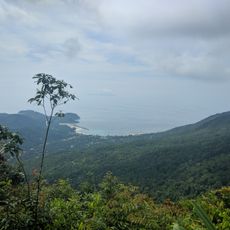
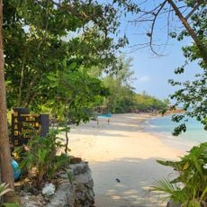
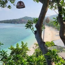
Ko Pha-ngan is an island in the Gulf of Thailand with a highest point reaching 630 meters (about 2067 feet), tropical forest in its interior, and beaches scattered along the coast. The landmass extends roughly 20 kilometers (about 12 miles) across and consists of a mix of open sand, hidden coves, and rocky sections along the water.
Archaeological finds suggest people lived here more than 2000 years ago, likely fishermen moving between islands in the region. King Rama V visited this location fourteen times during his reign in the late 19th and early 20th centuries to explore the southern territories.
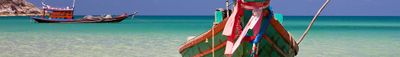
The name comes from two Malay words for sandbank and land, showing how fishermen once saw the island. Today many residents work in tourism, but some villages still fish or grow coconuts the way their families have for generations.
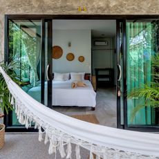
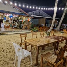
Ferries and speedboats connect the island to Koh Samui and the mainland at Surat Thani several times each day, depending on weather and season. Those looking for quiet will find it more easily on the east coast, while the southern shore has more lodging and restaurants.
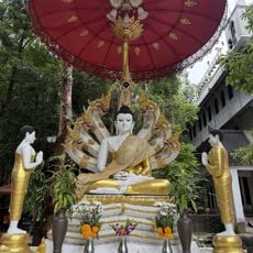
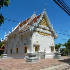
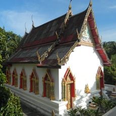
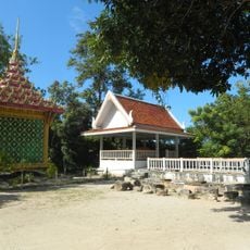
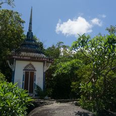
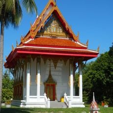
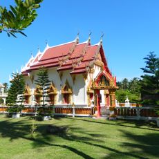
On the night of the full moon, thousands of visitors gather at Haad Rin beach for a monthly celebration with music and fire shows that lasts until morning. Beyond this well-known party, the island also holds several centers for meditation and yoga, showing a quieter side of life here.
The community of curious travelers
AroundUs brings together thousands of curated places, local tips, and hidden gems, enriched daily by 60,000 contributors worldwide.