Enable Location

We need your location to show you interesting places around you

Discover nearby places

Find interesting locations and hidden gems around you

Precise directions

Get accurate directions and distances to places

Your location is never shared with other users. It's only used when you tap the location button.

McLean County

Log in to your account

Start exploring — it's free

Trusted by 62,170 travelers worldwide

Continue with Google
Continue with Apple
or

We will send you a code to connect

By continuing, you accept our Terms and Conditions and our Privacy Policy

Check your inbox

We've sent a pincode in your inbox. Please enter the code below.

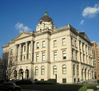
McLean County, Administrative county in Central Illinois, United States.

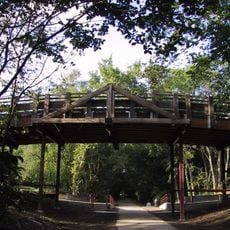
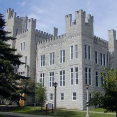
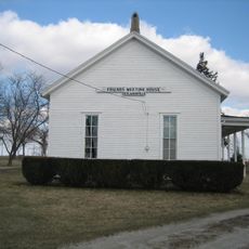
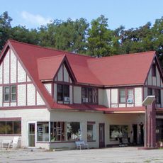
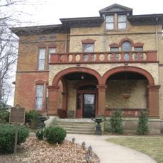
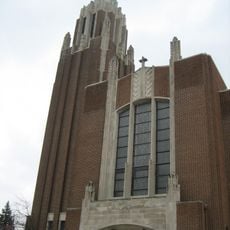
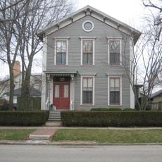
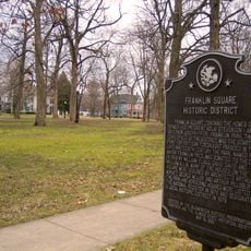
McLean County is an administrative division in Central Illinois with Bloomington serving as its county seat. The area encompasses a large region blending farmland, urban centers, and smaller towns across its territory.

The county was established on December 25, 1830, forming from the former Tazewell County. It received its name from John McLean, an early statesman in Illinois history.

The McLean County Board maintains regular public sessions in Bloomington, where twenty representatives from ten districts gather to address community matters.

The official website www.co.mclean.il.us provides public access to court records, property information, and digital mapping tools. Visitors can use these resources to learn about local government matters or find specific information about the area.

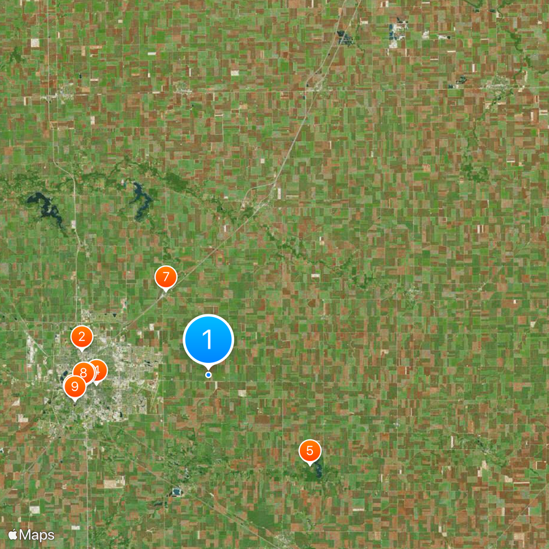
The county contains 1,183 square miles of land and 2.9 square miles of water bodies, surpassing the total area of Rhode Island.

The community of curious travelers

AroundUs brings together thousands of curated places, local tips, and hidden gems, enriched daily by 60,000 contributors worldwide.

Start exploring
Location
Inception
December 25, 1830
Capital city
Bloomington
Shares border with
Woodford County, Livingston County, Ford County, Champaign County, Piatt County, DeWitt County, Logan County, Tazewell County
GPS coordinates
40.49000,-88.85000
Latest update
December 20, 2025 00:25
Around this place
Hancock Stadium
United States of America

Hancock Stadium

12.7 km
United States of America

Miller Park Zoo

13.4 km
David Davis Mansion
United States of America

David Davis Mansion

11 km
United States of America

Moraine View State Recreation Area

13.3 km
State Farm Downtown Building
United States of America

State Farm Downtown Building

12.1 km
Duncan Manor
United States of America

Duncan Manor

9.3 km
McLean County Museum of History
United States of America

McLean County Museum of History

12.3 km
United States of America

Miller Park

13.3 km
United States of America

Lake Bloomington

20.4 km
Camelback Bridge
United States of America

Camelback Bridge

11.3 km
John W. Cook Hall
United States of America

John W. Cook Hall

12.2 km
Benjaminville Friends Meeting House and Burial Ground
United States of America

Benjaminville Friends Meeting House and Burial Ground

4 km
United States of America

Normal Theater

12 km
United States of America

Evergreen Lake

22.6 km
United States of America

McLean County Courthouse and Square

11.4 km
United States of America

Illinois Shakespeare Festival

9.8 km
Sprague's Super Service
United States of America

Sprague's Super Service

11.5 km
Vrooman Mansion Bed & Breakfast
United States of America

Vrooman Mansion Bed & Breakfast

11.4 km
Holy Trinity Church Rectory and Convent
United States of America

Holy Trinity Church Rectory and Convent

11.4 km
Ruben M. Benjamin House
United States of America

Ruben M. Benjamin House

11.6 km
United States of America

Hindu Temple of Bloomington-Normal

6.8 km
Fell Arboretum
United States of America

Fell Arboretum

12.4 km
Franklin Square
United States of America

Franklin Square

11.9 km
Lincoln Oak
United States of America

Lincoln Oak

11.5 km
Old Bloomington High School
United States of America

Old Bloomington High School

11.7 km
Thomas A. Beach House
United States of America

Thomas A. Beach House

40.9 km
David Davis III & IV House
United States of America

David Davis III & IV House

11.1 km
Broadview Mansion
United States of America

Broadview Mansion

11.6 km
Show the full map
Administrative divisions
« McLean County - Administrative county in Central Illinois, United States » is provided by Around Us (aroundus.com). Images and texts are derived from Wikimedia project under a Creative Commons license. You are allowed to copy, distribute, and modify copies of this page, under the conditions set by the license, as long as this note is clearly visible.

Discover hidden gems everywhere you go!

From secret cafés to breathtaking viewpoints, skip the crowded tourist spots and find places that match your style. Our app makes it easy with voice search, smart filtering, route optimization, and insider tips from travelers worldwide. Download now for the complete mobile experience.

Around Us App Screenshot

A unique approach to discovering new places

Le Figaro

All the places worth exploring

France Info

A tailor-made excursion in just a few clicks

20 Minutes

Around Us
Travel Guide & Maps
Download

Send to your phone

QR Code
1

Open the camera app on your mobile.

2

Point at the QR code with your camera. A notification will appear.

3

Tap the notification to open the link.