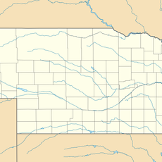
Boone County, County in Nebraska, United States
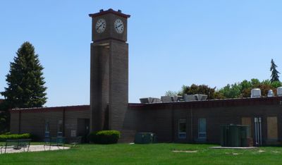
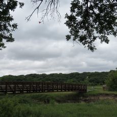
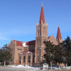
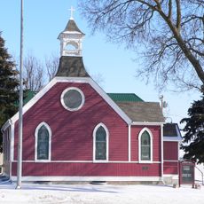
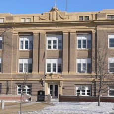
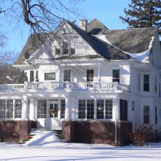
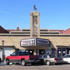
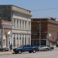
Boone County is a rural county in Nebraska, primarily covered by farmland and grassland across a wide area. Albion serves as the administrative center where county services and government offices are located.
The county was established in 1871 and named after Daniel Boone, the American frontier explorer and pioneer. This naming choice reflected the spirit of westward expansion during that era.
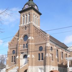
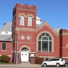
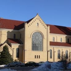
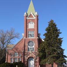
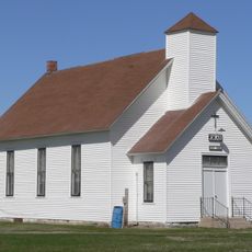
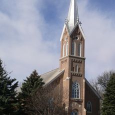
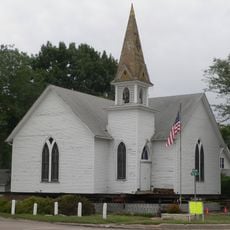
The county's residents maintain strong ties to European traditions, particularly German customs that shape daily community life and local practices.
Several state highways connect the different communities throughout the region, making travel between towns straightforward. This road network allows visitors to reach various settlements and surrounding areas easily.
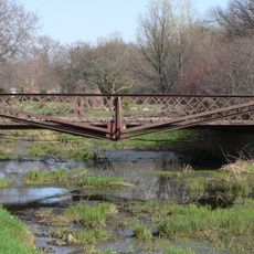
The county maintains a very low population density, preserving large areas for farming and open land. This spaciousness shapes the entire character of the region and how it feels when traveling through it.
The community of curious travelers
AroundUs brings together thousands of curated places, local tips, and hidden gems, enriched daily by 60,000 contributors worldwide.