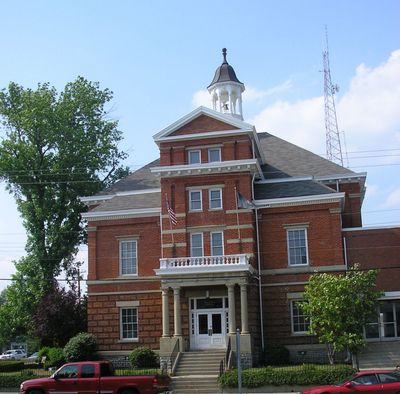
Boone County, County seat in northern Kentucky, United States.
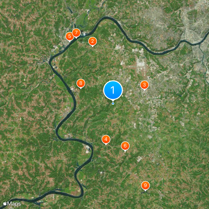
Boone County stretches along the Ohio River in northern Kentucky and forms part of the Cincinnati metropolitan region. The area contains a mix of developed towns, farmland, and protected natural spaces.
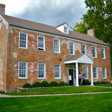
The county was established in December 1798 and named after American explorer Daniel Boone who traveled through Kentucky's frontier lands. It gradually transformed from a remote border region into a key part of Cincinnati's expanding sphere.
Residents participate in community development through regular surveys, town halls, and a ten-week educational program about county operations and services.
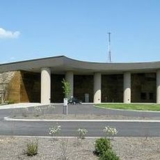
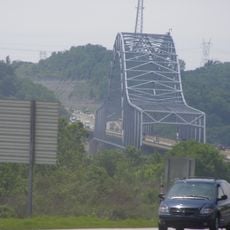
The Cincinnati Northern Kentucky International Airport serves the tri-state region with flights connecting to many destinations. Visitors should plan their routes carefully as the area spans multiple communities spread across the county.
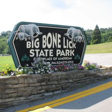
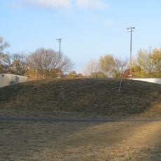
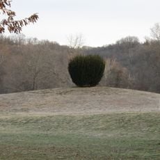
Big Bone Lick State Park holds fossils from Ice Age animals that were drawn to its mineral springs thousands of years ago. This site has fascinated people for centuries and offers a window into a prehistoric past.
The community of curious travelers
AroundUs brings together thousands of curated places, local tips, and hidden gems, enriched daily by 60,000 contributors worldwide.