Castro County, Administrative county in Texas Panhandle, United States.
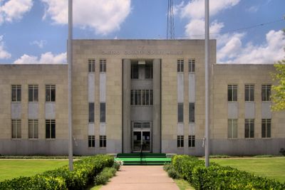
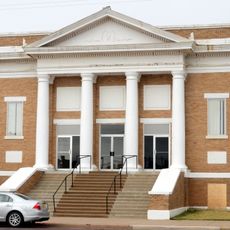
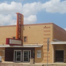
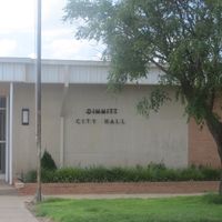
Castro County is an administrative division in the northern Texas Panhandle, made up of flat agricultural land and a handful of small communities. Dimmitt serves as the county seat and is where most local government functions are based.
Castro County was created by the Texas legislature in 1876 and named after Henri Castro, a French-born diplomat who helped bring settlers to the Republic of Texas. Over the following decades, the land was gradually organized into the farming communities that still define the county today.
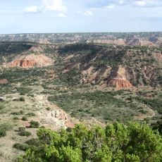
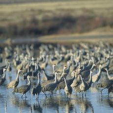
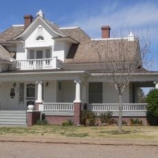
Life in Castro County is shaped by farming and ranching, and that rhythm is visible in the open fields and small-town routines across the area. Gatherings in Dimmitt and the surrounding communities tend to revolve around local agriculture and family traditions.
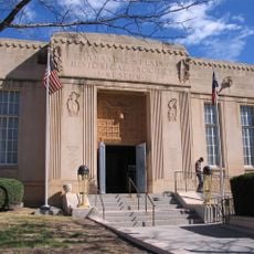
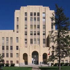
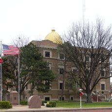
Most services, offices, and the courthouse are located in Dimmitt, which is the easiest starting point for any visit to the county. Distances between communities can be long, so having your own vehicle is the most practical way to get around.
Henri Castro, after whom the county is named, was one of the few people who received an empresario grant from the Republic of Texas, allowing him to recruit settlers from Europe. He brought hundreds of families, mostly from Alsace and the Rhine region, to Texas in the 1840s.
The community of curious travelers
AroundUs brings together thousands of curated places, local tips, and hidden gems, enriched daily by 60,000 contributors worldwide.