Enable Location

We need your location to show you interesting places around you

Discover nearby places

Find interesting locations and hidden gems around you

Precise directions

Get accurate directions and distances to places

Your location is never shared with other users. It's only used when you tap the location button.

Adams County

Log in to your account

Start exploring — it's free

Trusted by 61,425 travelers worldwide

Continue with Google
Continue with Apple
or

We will send you a code to connect

By continuing, you accept our Terms and Conditions and our Privacy Policy

Check your inbox

We've sent a pincode in your inbox. Please enter the code below.

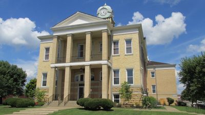
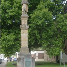
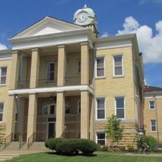
Adams County, County administration center in West Union, Ohio, United States.

Description

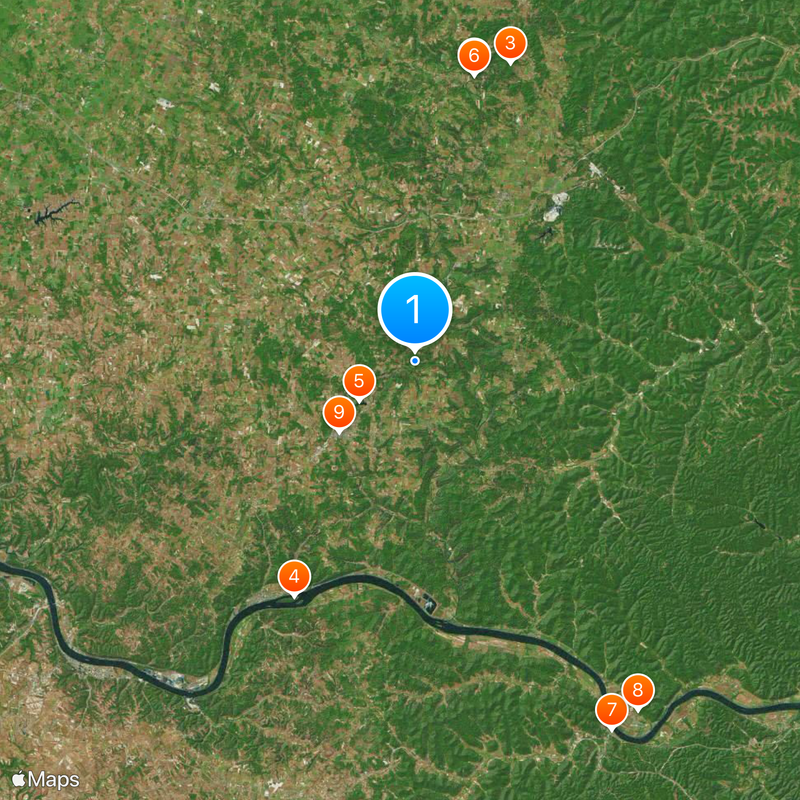
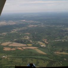
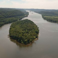
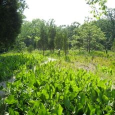
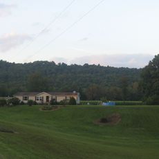
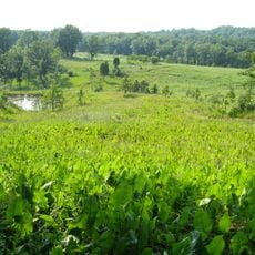
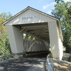
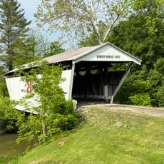
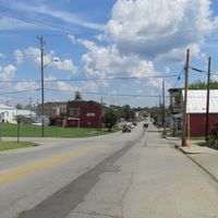
Adams County is a rural county in southern Ohio with rolling hills, thick forests, and farmland throughout its landscape. The area centers on West Union, the county seat, and includes several small communities spread across the region.

History

The county was founded in 1797 and named after President John Adams. Its early development was tied to agriculture and the iron ore deposits found in the region.

Culture

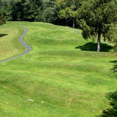
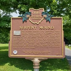
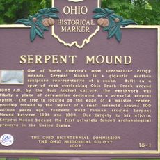
The Great Serpent Mound, an earthen ridge shaped like a serpent, reflects the engineering skills and astronomical knowledge of indigenous people who built it long ago. Visitors can see the full form from ground level and appreciate the precision of this ancient construction.

Practical

West Union is the main town and serves as the center for county services and information. The Great Serpent Mound is well-marked and easy to visit, especially during warmer months when the paths are clear.

Did you know?

The Great Serpent Mound remained a mystery for centuries regarding who built it and why. Modern research suggests it may have marked astronomical events or held spiritual significance for those who created it.

Location
Inception
July 10, 1797
Capital city
West Union
Reference
ADA
Shares border with
Highland County, Pike County, Scioto County, Lewis County, Mason County, Brown County
GPS coordinates
38.84000,-83.48000
Latest update
December 20, 2025 00:23

AroundUs brings together thousands of curated places, local tips, and hidden gems, enriched daily by 60,000 contributors worldwide. Discover all places nearby (Ohio).

Around this place
Serpent Mound
United States of America

Serpent Mound

21.1 km
Serpent Mound crater
United States of America

Serpent Mound crater

22.6 km
Ohio River Islands National Wildlife Refuge
United States of America

Ohio River Islands National Wildlife Refuge

19.1 km
Adams Lake State Park
United States of America

Adams Lake State Park

5 km
Serpent Mound State Memorial
United States of America

Serpent Mound State Memorial

21.1 km
Union Monument in Vanceburg
United States of America

Union Monument in Vanceburg

30.2 km
Adams County Paleo-Indian District
United States of America

Adams County Paleo-Indian District

30 km
Adams County Courthouse
United States of America

Adams County Courthouse

7.5 km
United States of America

Brush Creek State Forest

21.8 km
Chaparral Prairie State Nature Preserve
United States of America

Chaparral Prairie State Nature Preserve

8.2 km
United States of America

Edge of Appalachia Preserve

9.9 km
Cabin Creek Covered Bridge
United States of America

Cabin Creek Covered Bridge

28.5 km
Harshaville Covered Bridge
United States of America

Harshaville Covered Bridge

9.4 km
Buckeye Station
United States of America

Buckeye Station

15.8 km
Kirker Covered Bridge
United States of America

Kirker Covered Bridge

12.4 km
Sutton House
United States of America

Sutton House

19.2 km
Peebles
United States of America

Peebles

14 km
The Bentonville Anti-Horse Thief Society
United States of America

The Bentonville Anti-Horse Thief Society

15.1 km
Serpent Mound
United States of America

Serpent Mound

21 km
United States of America

Laycocks Farm Pond Number Two

8.5 km
United States of America

Mineral Springs Lake

13.1 km
United States of America

Dodge Pond

9.7 km
United States of America

Laycocks Farm Pond Number One

8.1 km
United States of America

Winchester Lake

20.1 km
United States of America

Murphin Point

6.1 km
United States of America

Hill Top

19.4 km
United States of America

Statue, Work of art

7 km
United States of America

Cedar Falls

8.5 km
Show the full map
Administrative divisions
« Adams County - County administration center in West Union, Ohio, United States » is provided by Around Us (aroundus.com). Images and texts are derived from Wikimedia project under a Creative Commons license. You are allowed to copy, distribute, and modify copies of this page, under the conditions set by the license, as long as this note is clearly visible.

Discover hidden gems everywhere you go!

From secret cafés to breathtaking viewpoints, skip the crowded tourist spots and find places that match your style. Our app makes it easy with voice search, smart filtering, route optimization, and insider tips from travelers worldwide. Download now for the complete mobile experience.

Around Us App Screenshot

A unique approach to discovering new places

Le Figaro

All the places worth exploring

France Info

A tailor-made excursion in just a few clicks

20 Minutes

Around Us
Travel Guide & Maps
Download

Send to your phone

QR Code
1

Open the camera app on your mobile.

2

Point at the QR code with your camera. A notification will appear.

3

Tap the notification to open the link.