Chest opened
+${chestReward.xp} XP
Explorer
NOUVEAU ×${chestReward.collectible.quantity}
tapez pour fermer

See the monuments around you in AR Open chests in the app

Around Us is built for your phone — point your camera at the streets and discover the monuments and places around you in augmented reality. Around Us is built for your phone — chests unlock when you walk, explore and capture nearby places.

Enable Location

We need your location to show you interesting places around you

Discover nearby places

Find interesting locations and hidden gems around you

Precise directions

Get accurate directions and distances to places

Your location is never shared with other users. It's only used when you tap the location button.

Log in to your account

Start exploring — it's free

Trusted by 85,575 travelers worldwide

Continue with Google
Continue with Apple
or

We will send you a code to connect

By continuing, you accept our Terms and Conditions and our Privacy Policy

Check your inbox

We've sent a pincode in your inbox. Please enter the code below.

Brush Creek State Forest
Discussion Reviews Photo
1.6k Popularity

Brush Creek State Forest, State forest in Adams County, Ohio, United States

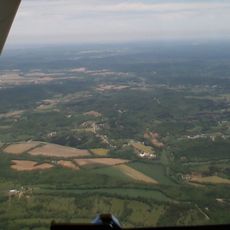
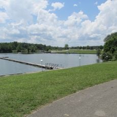
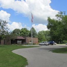
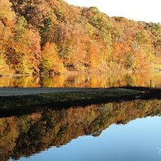
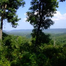
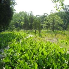
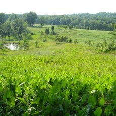
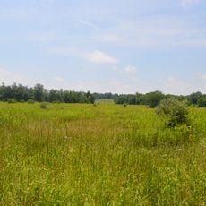
Brush Creek State Forest is a protected area covering 13,161 acres of hardwood forest with steep hillsides, deep hollows, and narrow ridge tops throughout its landscape. The grounds feature three miles of hiking trails and twelve miles of bridle trails for different types of visitors.

The protected forest began in 1928 with 285 acres as part of Shawnee State Forest before becoming independent in the early 1950s. This separation allowed for specialized management focused on this specific woodland area.

The forest takes its name from Scioto Brush Creek and reflects how the region values both nature and outdoor recreation for its communities. Locals and visitors alike use these woods as a place to connect with the landscape and its history.

Visitors should bring their own water supplies since the trails do not have facilities along the wooded routes. Sturdy footwear is important given the uneven terrain and elevation changes throughout the forest.

Among the forest's plants, researchers have found ground cone flowers, a species not commonly seen in this geographical region. This rare plant makes the area particularly interesting for those who study woodland ecology.

The community of curious travelers

AroundUs brings together thousands of curated places, local tips, and hidden gems, enriched daily by 60,000 contributors worldwide.
Start exploring
Location
GPS coordinates
38.96570,-83.28650
Latest update
August 30, 2026 23:27
Around this place
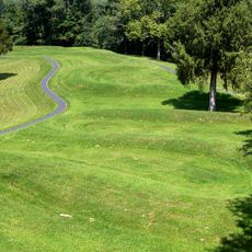
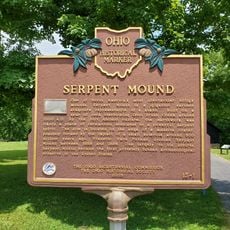
Serpent Mound
United States of America

Serpent Mound

8.8 mi
Serpent Mound crater
United States of America

Serpent Mound crater

7.7 mi
Lower Shawneetown
United States of America

Lower Shawneetown

22.1 mi
Shawnee State Park
United States of America

Shawnee State Park

16.7 mi
Rocky Fork State Park
United States of America

Rocky Fork State Park

18.2 mi
Paint Creek State Park
United States of America

Paint Creek State Park

21.1 mi
Pike Lake State Park
United States of America

Pike Lake State Park

13.9 mi
Shawnee State Forest
United States of America

Shawnee State Forest

20.7 mi
Adams Lake State Park
United States of America

Adams Lake State Park

16.6 mi
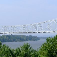
Carl Perkins Bridge
United States of America

Carl Perkins Bridge

21.9 mi
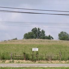
Tremper Mound and Works
United States of America

Tremper Mound and Works

18.7 mi
Serpent Mound State Memorial
United States of America

Serpent Mound State Memorial

8.8 mi
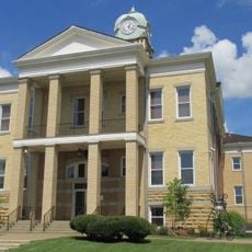
Adams County Courthouse
United States of America

Adams County Courthouse

18.2 mi
Piketon Mounds
United States of America

Piketon Mounds

15.5 mi
Chaparral Prairie State Nature Preserve
United States of America

Chaparral Prairie State Nature Preserve

17.8 mi
Rocky Fork Park Site
United States of America

Rocky Fork Park Site

18.7 mi
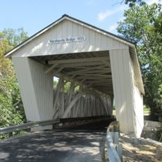
Harshaville Covered Bridge
United States of America

Harshaville Covered Bridge

14.4 mi
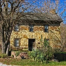
Philip Moore Stone House
United States of America

Philip Moore Stone House

20.5 mi
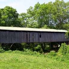
Otway Covered Bridge
United States of America

Otway Covered Bridge

8.8 mi
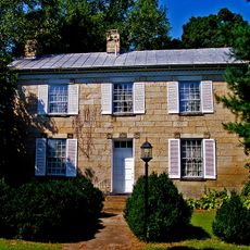
Vanmeter Stone House and Outbuildings
United States of America

Vanmeter Stone House and Outbuildings

14.8 mi
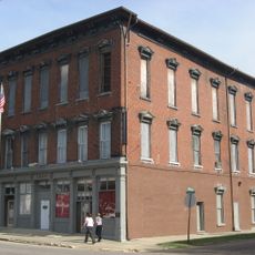
Odd Fellows Hall
United States of America

Odd Fellows Hall

22.2 mi
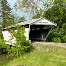
Kirker Covered Bridge
United States of America

Kirker Covered Bridge

21.2 mi
Bigelow United Methodist Church
United States of America

Bigelow United Methodist Church

22.3 mi
Lake White State Park
United States of America

Lake White State Park

17 mi
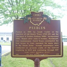
Peebles
United States of America

Peebles

6.4 mi
Pike County Courthouse
United States of America

Pike County Courthouse

19.7 mi
Portsmouth Earthworks, Group A
United States of America

Portsmouth Earthworks, Group A

22.1 mi
Serpent Mound
United States of America

Serpent Mound

8.7 mi
Show the full map
Reviews
Share your experience

No review yet

Discussions
Start a discussion...

No discussion yet

« Brush Creek State Forest - State forest in Adams County, Ohio, United States » is provided by Around Us (aroundus.com). Images and texts are derived from Wikimedia project under a Creative Commons license. You are allowed to copy, distribute, and modify copies of this page, under the conditions set by the license, as long as this note is clearly visible.

Discover hidden gems everywhere you go!

From secret cafés to breathtaking viewpoints, skip the crowded tourist spots and find places that match your style. Our app makes it easy with voice search, smart filtering, route optimization, and insider tips from travelers worldwide. Download now for the complete mobile experience.
Around Us App Screenshot

A unique approach to discovering new places

Le Figaro

All the places worth exploring

France Info

A tailor-made excursion in just a few clicks

20 Minutes

Around Us
Travel Guide & Maps
Download

Send to your phone

QR Code
1

Open the camera app on your mobile.

2

Point at the QR code with your camera. A notification will appear.

3

Tap the notification to open the link.