Amherst County

Log in to your account

AroundUs is a community-driven map of interesting places, built by curious explorers like you. It grows with every review, story, and photo you share.
Connect to save your favorite spots, contribute locations, and create personalized routes.
Continue with Google
Continue with Apple
Continue with X
Continue with Facebook
Continue with email
By continuing, you accept our Terms and Conditions and our Privacy Policy
Create an account
Add to collection
Map
Suggest a change
Share

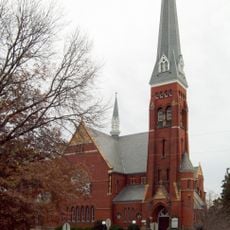
Amherst County, Administrative county in Virginia, United States

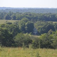
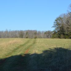
Amherst County is an administrative county in Virginia's Piedmont region with diverse landscapes spanning forests, farmland, and water features. The area includes sections of the Appalachian Trail and contains several lakes that dot the terrain.

The county was established in 1758 when it was separated from Albemarle County and named after a British military commander. This creation reflected the colonial expansion into Virginia's interior regions.

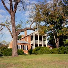
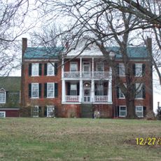
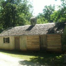
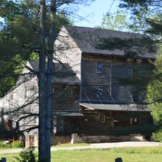
The region maintains strong ties to farming, shaped by a long history of tobacco cultivation that later shifted toward fruit orchards. Visitors can see this heritage reflected in the rural landscape and at local farms today.

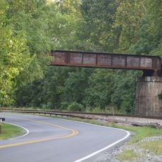
The area offers good opportunities for hiking, especially along the Appalachian Trail and in surrounding forests. A car is helpful for exploring since attractions are spread out and public transportation is limited.

A substantial stretch of the Appalachian Trail runs through the county, connecting several mountain peaks including Mount Pleasant and Cole Mountain. This corridor offers hikers some of the most varied terrain in the entire region.

Location: Virginia

Inception: 1758

Capital city: Amherst

Shares border with: Rockbridge County, Nelson County, Appomattox County, Campbell County, Lynchburg, Bedford County

Website: http://countyofamherst.com

GPS coordinates: 37.61000,-79.14000

Latest update: December 7, 2025 10:07

Photos
Around this place
Sweet Briar College
United States of America

Sweet Briar College

8.2 km
Point of Honor
United States of America

Point of Honor

21.1 km
Fifth Street Historic District
United States of America

Fifth Street Historic District

21.7 km
Anne Spencer House
United States of America

Anne Spencer House

23 km
Allied Arts Building
United States of America

Allied Arts Building

21.8 km
Fort Early and Jubal Early Monument
United States of America

Fort Early and Jubal Early Monument

24.7 km
Cameron Hall
United States of America

Cameron Hall

32.8 km
Southern Seminary Main Building
United States of America

Southern Seminary Main Building

23.5 km
Diamond Hill Historic District
United States of America

Diamond Hill Historic District

22.4 km
Carter Glass House
United States of America

Carter Glass House

21.7 km
Speed the Plough
United States of America

Speed the Plough

9.7 km
Dicks-Elliott House
United States of America

Dicks-Elliott House

21.8 km
Dr. Robert Walter Johnson House and Tennis Court
United States of America

Dr. Robert Walter Johnson House and Tennis Court

22.1 km
Stono
United States of America

Stono

32.5 km
St. Paul's Church
United States of America

St. Paul's Church

21.7 km
Rivermont
United States of America

Rivermont

20.6 km
Edgewood, 1818
United States of America

Edgewood, 1818

8 km
First Baptist Church
United States of America

First Baptist Church

22 km
Jones Memorial Library
United States of America

Jones Memorial Library

21 km
Bear Mountain Indian Mission School
United States of America

Bear Mountain Indian Mission School

4.3 km
Lynchburg Courthouse
United States of America

Lynchburg Courthouse

21.9 km
Glen Maury
United States of America

Glen Maury

23.7 km
Aviary
United States of America

Aviary

23.2 km
Academy of Music
United States of America

Academy of Music

21.5 km
Norfolk Southern Six Mile Bridge No. 58
United States of America

Norfolk Southern Six Mile Bridge No. 58

25.1 km
Tusculum
United States of America

Tusculum

12.9 km
Presbyterian Orphans Home
United States of America

Presbyterian Orphans Home

18.8 km
Woodson's Mill
United States of America

Woodson's Mill

14.1 km
Show the full map
Reviews

Visited this place? Tap the stars to rate it and share your experience / photos with the community! Try now! You can cancel it anytime.

« Amherst County - Administrative county in Virginia, United States » is provided by Around Us (aroundus.com). Images and texts are derived from Wikimedia project under a Creative Commons license. You are allowed to copy, distribute, and modify copies of this page, under the conditions set by the license, as long as this note is clearly visible.

Discover hidden gems everywhere you go!

From secret cafés to breathtaking viewpoints, skip the crowded tourist spots and find places that match your style. Our app makes it easy with voice search, smart filtering, route optimization, and insider tips from travelers worldwide. Download now for the complete mobile experience.

Around Us App Screenshot

A unique approach to discovering new places

Le Figaro

All the places worth exploring

France Info

A tailor-made excursion in just a few clicks

20 Minutes