Menominee County

Log in to your account

AroundUs is a community-driven map of interesting places, built by curious explorers like you. It grows with every review, story, and photo you share.
Connect to save your favorite spots, contribute locations, and create personalized routes.
Continue with Google
Continue with Apple
Continue with X
Continue with Facebook
Continue with email
By continuing, you accept our Terms and Conditions and our Privacy Policy
Create an account
Add to collection
Map
Suggest a change
Share

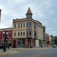
Menominee County, Administrative county in Upper Peninsula, Michigan, United States.

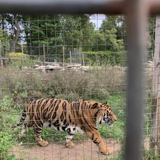
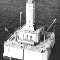
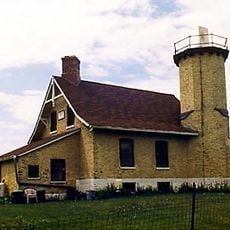
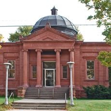
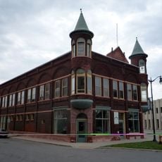
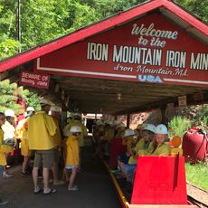
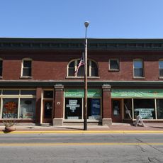
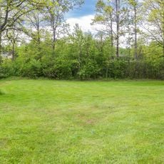
Menominee County spreads across Michigan's Upper Peninsula with forests and waterways that define its character. Green Bay forms its eastern boundary, while inland areas feature lakes, rivers, and mixed woodlands.

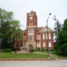
The county was established in 1861 as Bleeker County, carved from Delta County territory, and renamed Menominee in 1863 when the local government took shape. The name honors the Menominee Nation, who lived in this region for generations.

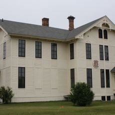
The Hannahville Indian Community maintains territories throughout the county, especially in Harris Township, keeping Anishinaabe traditions alive in the region. You can see this heritage reflected in local place names and community spaces.

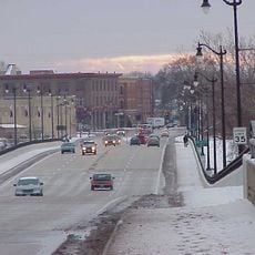
US Highway 2 crosses the area east to west, while US 41 passes through the southern portions and M-35 follows the Green Bay shoreline. Most towns sit along these main roads, but secondary roads can be unpredictable in winter.

The region was originally named Bleeker County, a designation that faded from memory after the 1863 renaming. Few visitors realize that this earlier name marks an overlooked chapter in the county's past.

Location: Michigan

Inception: 1861

Capital city: Menominee

Shares border with: Marquette County, Door County, Marinette County, Delta County, Dickinson County

Website: http://menomineecounty.com

GPS coordinates: 45.52000,-87.53000

Latest update: December 7, 2025 19:27

Photos
Around this place
DeYoung Family Zoo
United States of America

DeYoung Family Zoo

25.3 km
Interstate Bridge
United States of America

Interstate Bridge

47 km
United States of America

Dave's Falls

35.9 km
Wells State Park
United States of America

Wells State Park

18.1 km
Sand Point Light
United States of America

Sand Point Light

45.3 km
Minneapolis Shoal Light Station
United States of America

Minneapolis Shoal Light Station

42 km
IXL Historical Museum
United States of America

IXL Historical Museum

21.9 km
Riverside Site
United States of America

Riverside Site

46.9 km
Dickinson County Courthouse and Jail
United States of America

Dickinson County Courthouse and Jail

53 km
Chambers Island Light
United States of America

Chambers Island Light

37.6 km
Escanaba Central Historic District
United States of America

Escanaba Central Historic District

44.3 km
St. John the Baptist Catholic Church
United States of America

St. John the Baptist Catholic Church

46.2 km
F.J. Lauerman House
United States of America

F.J. Lauerman House

47.5 km
Carnegie Public Library
United States of America

Carnegie Public Library

44.5 km
Dunlap Square Building
United States of America

Dunlap Square Building

47.5 km
Menominee Opera House
United States of America

Menominee Opera House

46.7 km
First Street Historic District
United States of America

First Street Historic District

46.5 km
Iron Mountain Iron Mine
United States of America

Iron Mountain Iron Mine

39.1 km
Bijou Theatre
United States of America

Bijou Theatre

47.5 km
Menominee River Park Archeological District
United States of America

Menominee River Park Archeological District

52.6 km
Independent Order of Odd Fellows-Lodge No. 189 Building
United States of America

Independent Order of Odd Fellows-Lodge No. 189 Building

47.9 km
Grand Avenue Bridge
United States of America

Grand Avenue Bridge

21.2 km
Michigan Theater
United States of America

Michigan Theater

44.5 km
Menominee Pier Light
United States of America

Menominee Pier Light

47.3 km
William Bonifas Fine Art Center
United States of America

William Bonifas Fine Art Center

44.5 km
Menominee County Courthouse
United States of America

Menominee County Courthouse

46.4 km
Delft Theatre
United States of America

Delft Theatre

44.4 km
Michigan Theatre
United States of America

Michigan Theatre

44.5 km
Show the full map
Reviews

Visited this place? Tap the stars to rate it and share your experience / photos with the community! Try now! You can cancel it anytime.

Administrative divisions
« Menominee County - Administrative county in Upper Peninsula, Michigan, United States » is provided by Around Us (aroundus.com). Images and texts are derived from Wikimedia project under a Creative Commons license. You are allowed to copy, distribute, and modify copies of this page, under the conditions set by the license, as long as this note is clearly visible.

Discover hidden gems everywhere you go!

From secret cafés to breathtaking viewpoints, skip the crowded tourist spots and find places that match your style. Our app makes it easy with voice search, smart filtering, route optimization, and insider tips from travelers worldwide. Download now for the complete mobile experience.

Around Us App Screenshot

A unique approach to discovering new places

Le Figaro

All the places worth exploring

France Info

A tailor-made excursion in just a few clicks

20 Minutes