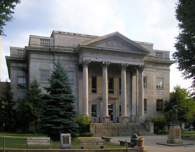
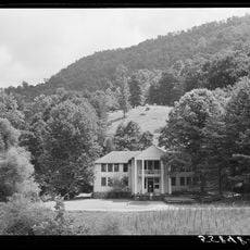
Harlan County, County in southeastern Kentucky, United States
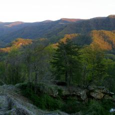
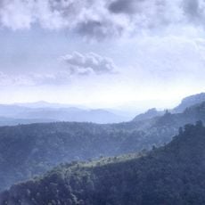
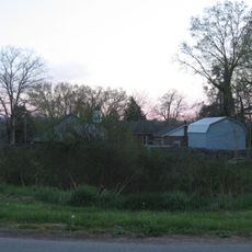
Harlan County is a county in southeastern Kentucky spanning mountainous terrain with deep valleys and forested slopes. Black Mountain in the east reaches 1,263 meters and marks the highest natural point in the state.
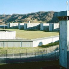
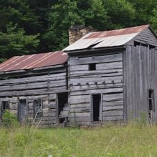
The county was formed from Knox County in 1819 and named after a pioneer who fell in the late 18th century. During the 1930s, intense labor battles between miners and mine owners made this place known across the nation.
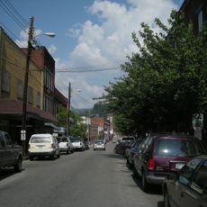
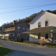
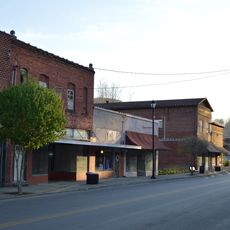
The name comes from Silas Harlan, an early settler who fell at the Battle of Blue Licks. Many place names across the county recall the mining era, when small communities formed around coal shafts and family surnames became tied to particular hollows.
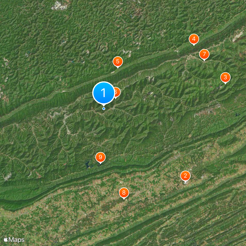
The rugged landscape requires care on secondary roads, which often climb steeply and wind through valleys. Mobile phone reception may be weak in remote areas, so noting directions beforehand helps.
Near Bledsoe, rock shelters used by Native Americans were found in 1923, leading to the creation of the anthropology department at the University of Kentucky. This archaeological site helped deepen understanding of early settlement in the Appalachians.
Location: Kentucky
Inception: January 28, 1819
Capital city: Harlan
Shares border with: Perry County, Letcher County, Wise County, Lee County, Bell County, Leslie County
Website: https://harlancountyclerk.com
GPS coordinates: 36.86000,-83.22000
Latest update: December 4, 2025 23:02
United States Penitentiary
26.2 km
Black Mountain
29.7 km
Natural Tunnel State Park
46 km
Hensley Settlement
34.7 km
Wilderness Road State Park
37 km
Pine Mountain Settlement School
10.4 km
Black Mountain Off-Road Adventure Area
3.8 km
Kentucky Coal Mining Museum
26.6 km
Vardy Community School
30.8 km
Southwest Virginia Museum Historical State Park
39.2 km
The Cedars Natural Area Preserve
22 km
June Tolliver House
39.8 km
John Fox, Jr. House
39.3 km
John Shell Cabin
16.2 km
Wendover, Kentucky
32.5 km
Terrace Park Girl Scout Cabin
39.1 km
Jonesville Methodist Campground
20.9 km
Stonega Historic District
39.5 km
Kelly View School
43 km
Derby Historic District
36.3 km
United States Post Office and Courthouse
39.6 km
Dickinson-Milbourn House
21.1 km
Wooton Presbyterian Center
36.5 km
Laurel Fork
42.1 km
Harlan Commercial District
9.2 km
Benham Historic District
26.6 km
Lynch Historic District
29.3 km
Cumberland Central Business District
24.1 kmVisited this place? Tap the stars to rate it and share your experience / photos with the community! Try now! You can cancel it anytime.
Discover hidden gems everywhere you go!
From secret cafés to breathtaking viewpoints, skip the crowded tourist spots and find places that match your style. Our app makes it easy with voice search, smart filtering, route optimization, and insider tips from travelers worldwide. Download now for the complete mobile experience.
A unique approach to discovering new places❞
— Le Figaro
All the places worth exploring❞
— France Info
A tailor-made excursion in just a few clicks❞
— 20 Minutes