Chest opened
+${chestReward.xp} XP
Explorer
NOUVEAU ×${chestReward.collectible.quantity}
tapez pour fermer

See the monuments around you in AR Open chests in the app

Around Us is built for your phone — point your camera at the streets and discover the monuments and places around you in augmented reality. Around Us is built for your phone — chests unlock when you walk, explore and capture nearby places.

•

Enable Location

We need your location to show you interesting places around you

Discover nearby places

Find interesting locations and hidden gems around you

Precise directions

Get accurate directions and distances to places

Your location is never shared with other users. It's only used when you tap the location button.

Umatilla National Forest

Log in to your account

Start exploring — it's free

Trusted by 94,512 travelers worldwide

Continue with Google
Continue with Apple
or

We will send you a code to connect

By continuing, you accept our Terms and Conditions and our Privacy Policy

Check your inbox

We've sent a pincode in your inbox. Please enter the code below.

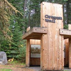
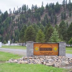
Umatilla National Forest, National forest in Oregon, United States

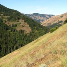
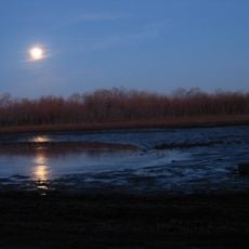
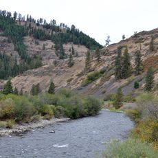
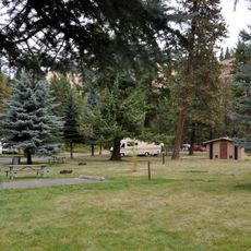
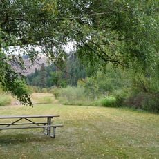
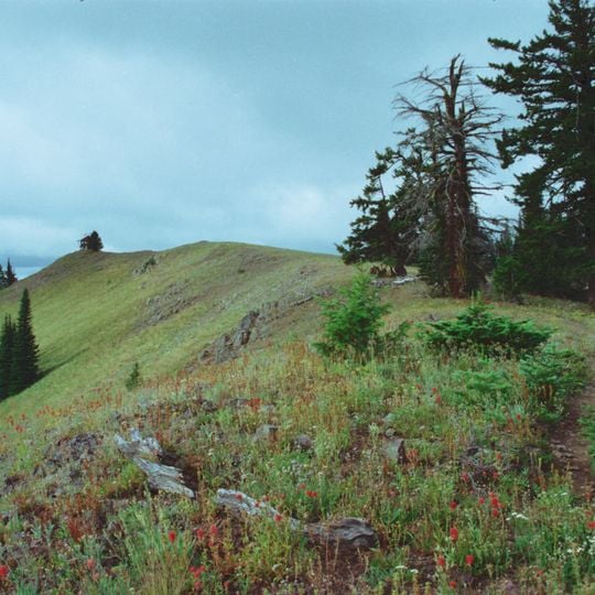
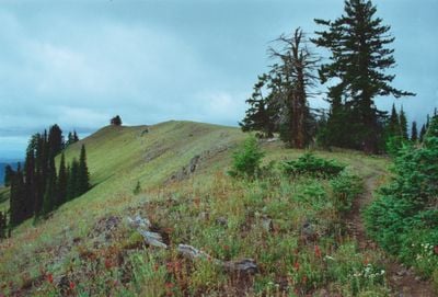
Umatilla National Forest is a national forest in Oregon, United States, covering over 1.4 million acres (about 5,700 square kilometers) across the Blue Mountains. It features rolling hills, deep canyons, and patches of old-growth forest, with elevations ranging from about 1,500 to 9,000 feet (450 to 2,700 meters).

Umatilla National Forest was established in 1908 by President Theodore Roosevelt. It was later expanded and managed for multiple uses, including timber, recreation, and wildlife habitat.

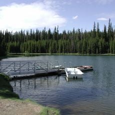
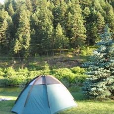
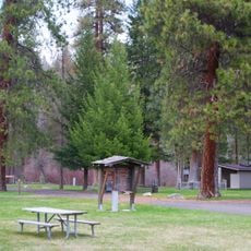
The forest is named after the Umatilla River, which comes from a Native American word. Today, it is a place where people come to hike, fish, and camp, and some areas are used by tribes for traditional activities.

Visitors can access the forest via several highways and forest roads, but some areas are remote and require a vehicle with good clearance. Check weather conditions before heading out, as mountain roads can be snowy in winter and some trails are only open seasonally.

The forest contains the North Fork John Day Wilderness, a large roadless area with rugged terrain. It is also home to a population of mountain goats, which are often seen on rocky slopes.

The community of curious travelers

AroundUs brings together thousands of curated places, local tips, and hidden gems, enriched daily by 94,512 contributors worldwide.
Start exploring
Location
GPS coordinates
45.63330,-118.18300
Latest update
November 10, 2026 13:50
Around this place
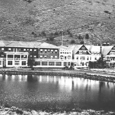
Hot Lake Hotel
United States of America

Hot Lake Hotel

29.1 mi
Emigrant Springs State Heritage Area
United States of America

Emigrant Springs State Heritage Area

14.9 mi
North Fork Umatilla Wilderness
United States of America

North Fork Umatilla Wilderness

6 mi
Tamástslikt Cultural Institute
United States of America

Tamástslikt Cultural Institute

23.3 mi
Jubilee Lake
United States of America

Jubilee Lake

17.4 mi
McKay Creek National Wildlife Refuge
United States of America

McKay Creek National Wildlife Refuge

29.7 mi
Wallowa Lake Highway Forest State Scenic Corridor
United States of America

Wallowa Lake Highway Forest State Scenic Corridor

24.1 mi
Hilgard Junction State Recreation Area
United States of America

Hilgard Junction State Recreation Area

20.5 mi
Red Bridge State Wayside
United States of America

Red Bridge State Wayside

24.8 mi
Minam State Recreation Area
United States of America

Minam State Recreation Area

24.7 mi
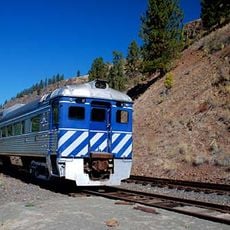
Eagle Cap Excursion Train
United States of America

Eagle Cap Excursion Train

13.6 mi
Wallowa River Rest Area
United States of America

Wallowa River Rest Area

26.9 mi
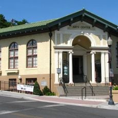
Pendleton Center for the Arts
United States of America

Pendleton Center for the Arts

29.4 mi
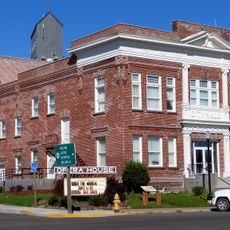
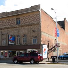
Elgin Opera House
United States of America

Elgin Opera House

13.7 mi
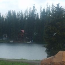
Langdon Lake
United States of America

Langdon Lake

11.1 mi
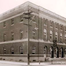
John F. Kilkenny United States Post Office and Courthouse
United States of America

John F. Kilkenny United States Post Office and Courthouse

29.3 mi
RiverBend Alternative Education School
United States of America

RiverBend Alternative Education School

20.6 mi
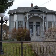
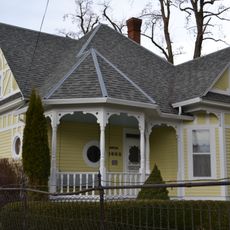
John Anthony House
United States of America

John Anthony House

21.7 mi
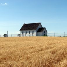
Greasewood Finnish Apostolic Lutheran Church
United States of America

Greasewood Finnish Apostolic Lutheran Church

25.2 mi
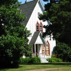
Ascension Episcopal Church
United States of America

Ascension Episcopal Church

29.4 mi
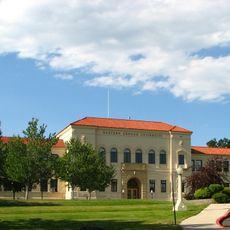
Inlow Hall
United States of America

Inlow Hall

22 mi
Liberty Theater
United States of America

Liberty Theater

21.5 mi
Anthony–Buckley House
United States of America

Anthony–Buckley House

21.7 mi
Pendleton Underground Tours Gift Shop
United States of America

Pendleton Underground Tours Gift Shop

29.3 mi
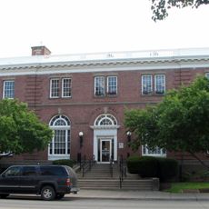
U.S. Post Office and Federal Building
United States of America

U.S. Post Office and Federal Building

21.4 mi
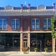
Gardner Building
United States of America

Gardner Building

21.5 mi
Granada 3 Theatre
United States of America

Granada 3 Theatre

21.6 mi
Athena City Park
United States of America

Athena City Park

19.1 mi
Show the full map
Reviews
Share your experience

No review yet

Discussions
Start a discussion...

No discussion yet

« Umatilla National Forest - National forest in Oregon, United States » is provided by Around Us (aroundus.com). Images and texts are derived from Wikimedia project under a Creative Commons license. You are allowed to copy, distribute, and modify copies of this page, under the conditions set by the license, as long as this note is clearly visible.

Discover hidden gems everywhere you go!

From secret cafés to breathtaking viewpoints, skip the crowded tourist spots and find places that match your style. Our app makes it easy with voice search, smart filtering, route optimization, and insider tips from travelers worldwide. Download now for the complete mobile experience.
Around Us App Screenshot
❝

A unique approach to discovering new places❞

— Le Figaro

❝

All the places worth exploring❞

— France Info

❝

A tailor-made excursion in just a few clicks❞

— 20 Minutes

Around Us
Travel Guide & Maps
Download

Send to your phone

QR Code
1

Open the camera app on your mobile.

2

Point at the QR code with your camera. A notification will appear.

3

Tap the notification to open the link.