De Soto, city in Jefferson County, Missouri
Location: Jefferson County
Inception: 1869
Elevation above the sea: 153 m
Website: http://desotomo.com
GPS coordinates: 38.14060,-90.55750
Latest update: March 5, 2025 05:55
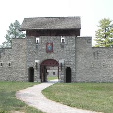
Fort de Chartres
35.6 km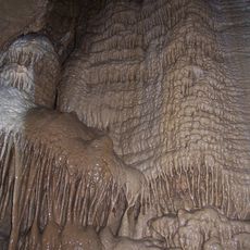
Illinois Caverns State Natural Area
38.3 km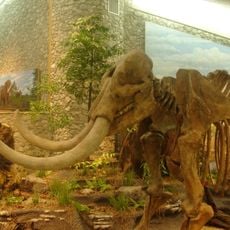
Mastodon State Historic Site
30.1 km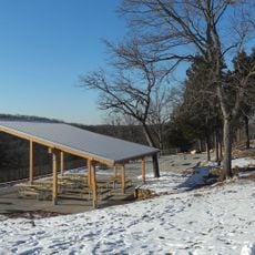
Don Robinson State Park
29.8 km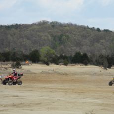
St. Joe State Park
37 km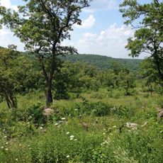
Washington State Park
12.7 km
Sandy Creek Covered Bridge State Historic Site
17.4 km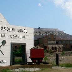
Missouri Mines State Historic Site
33.9 km
French Colonial Historic District
38 km
Kolmer Site
33.4 km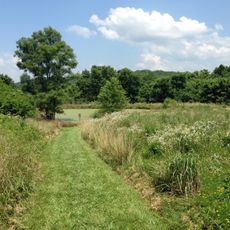
Young Conservation Area
34.2 km
Gov. Daniel Dunklin's Grave State Historic Site
22.2 km
Fountain Creek Bridge
37.8 km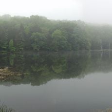
Myron and Sonya Glassberg Family Conservation Area
35 km
Stonebrook
25.9 km
Gustave Greystone-Meissner House
23.9 km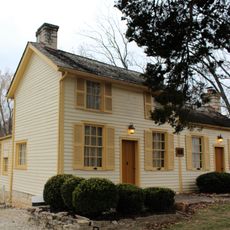
Thomas C. Fletcher House
10.2 km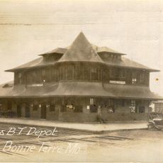
Bonne Terre Depot
24.7 km
Windsor Harbor Road Bridge
30.2 km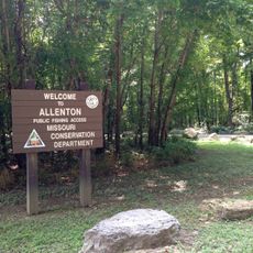
Allenton Access
38.2 km
Kimmswick Historic District
30.3 km
Washington County Courthouse
30.4 km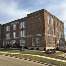
Central School Campus
375 m
Louis J. and Harriet Rozier House
314 m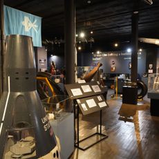
Space Museum
24.3 km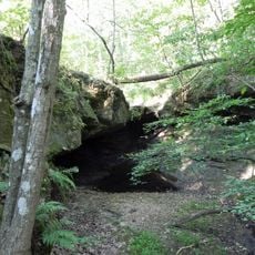
LaBarque Creek Conservation Area
33.4 km
Kidd Lake State Natural Area
30.7 km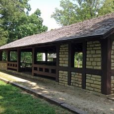
Washington State Park CCC Historic District
12.3 kmVisited this place? Tap the stars to rate it and share your experience / photos with the community! Try now! You can cancel it anytime.
Discover hidden gems everywhere you go!
From secret cafés to breathtaking viewpoints, skip the crowded tourist spots and find places that match your style. Our app makes it easy with voice search, smart filtering, route optimization, and insider tips from travelers worldwide. Download now for the complete mobile experience.

A unique approach to discovering new places❞
— Le Figaro
All the places worth exploring❞
— France Info
A tailor-made excursion in just a few clicks❞
— 20 Minutes