LaBarque Creek Conservation Area, Conservation area in Jefferson County, United States.
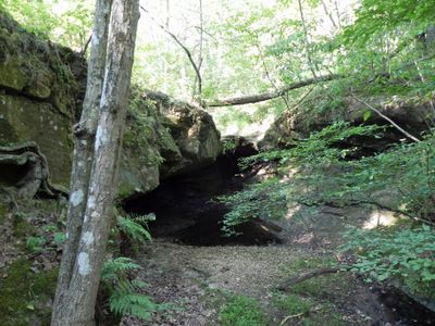
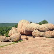
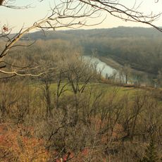
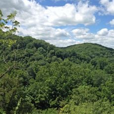
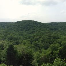
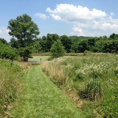
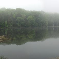
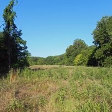
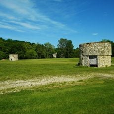
LaBarque Creek Conservation Area is a protected natural area in Jefferson County featuring sandstone rock formations, forested hills, and narrow valleys. The terrain supports different types of woodland and is shaped by a flowing creek that cuts through the landscape.
The area was established in 2005 when the Missouri Department of Conservation acquired 545 acres from The Nature Conservancy and a private landowner. This creation reflected broader efforts to protect natural habitats in the region.
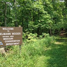
The conservation area forms part of the Henry Shaw Ozark Corridor, connecting several protected natural spaces in the Missouri region.
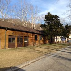
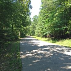
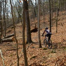
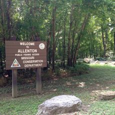
A loop trail on the eastern side allows visitors to explore the grounds, with parking available along Valley Drive near Eureka. The trail is accessible year-round and suited for visitors of different experience levels.
The area supports a diverse fish community with more than 40 different species living in its creek system. This abundance of aquatic life demonstrates the health of the ecosystem and attracts those interested in freshwater biodiversity.
Location: Jefferson County
Inception: 2005
GPS coordinates: 38.41660,-90.70640
Latest update: December 6, 2025 19:06
Missouri offers a mix of geological formations and historic sites that show the natural resources and industrial past of the state. The landscape includes massive granite boulders, deep limestone caves, and clear springs that bubble up from the ground. Parks and conservation areas preserve forests, creeks, and bluffs along the state's rivers. Visitors find hiking trails that wind through wooded hills, along stream beds, and to viewpoints that overlook broad valleys. Historic sites add layers of human history. Stone mills like Bollinger Mill and Alley Mill still stand, their waterwheels and timber structures recalling a time when grinding grain and making textiles happened locally. Ha Ha Tonka State Park displays the ruins of a stone castle perched on a bluff above a lake, while Watkins Woolen Mill contains a preserved 19th-century textile factory. Caves such as Onondaga Cave and Meramec Caverns open beneath the surface, revealing stalactites, stalagmites, and underground rivers. Elephant Rocks State Park shows giant pink granite boulders scattered across hillsides, and Dogwood Canyon Nature Park offers waterfalls and forest trails. These places provide a look at Missouri's natural geology and the communities that once used it.
Six Flags St. Louis
11.1 km
Screamin' Eagle
11.4 km
The Boss
11.3 km
Castlewood State Park
20.8 km
Route 66 State Park
14.2 km
Lone Elk County Park
19.3 km
American Thunder
11 km
Don Robinson State Park
3.6 km
Ninja
11.3 km
Boomerang
11.4 km
Sandy Creek Covered Bridge State Historic Site
21.4 km
Shaw Nature Reserve
12.6 km
Tyson Research Center
17.6 km
Rockwoods Reservation
17.1 km
Greensfelder County Park
13.4 km
Robertsville State Park
9.4 km
Young Conservation Area
5 km
West Tyson County Park
15.6 km
Myron and Sonya Glassberg Family Conservation Area
3.4 km
Rockwoods Range Conservation Area
11.5 km
Forest 44 Conservation Area
19.2 km
Grand Ole Carousel
11.2 km
Stonebrook
22.2 km
Allenton Access
7.6 km
Engelmann Woods Natural Area
18.2 km
St. Albans General Store
19.1 km
St. Albans Farms Stone Barn
19.1 km
Mr. Freeze
11.2 kmVisited this place? Tap the stars to rate it and share your experience / photos with the community! Try now! You can cancel it anytime.
Discover hidden gems everywhere you go!
From secret cafés to breathtaking viewpoints, skip the crowded tourist spots and find places that match your style. Our app makes it easy with voice search, smart filtering, route optimization, and insider tips from travelers worldwide. Download now for the complete mobile experience.
A unique approach to discovering new places❞
— Le Figaro
All the places worth exploring❞
— France Info
A tailor-made excursion in just a few clicks❞
— 20 Minutes