Enable Location

We need your location to show you interesting places around you

Discover nearby places

Find interesting locations and hidden gems around you

Precise directions

Get accurate directions and distances to places

Your location is never shared with other users. It's only used when you tap the location button.

Don Robinson State Park

Log in to your account

Join the adventure

Create your free account and start exploring (like 60k+ others)

We will send you a code to connect

or
Continue with Google
Continue with Apple
By continuing, you accept our Terms and Conditions and our Privacy Policy

Check your inbox

We've sent a pincode in your inbox. Please enter the code below.

Don Robinson State Park

Don Robinson State Park, State park in Jefferson County, Missouri

Description

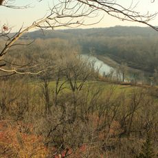
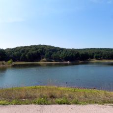
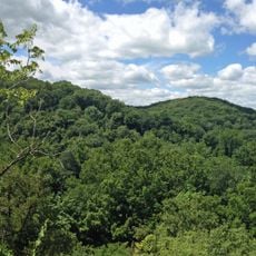
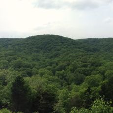
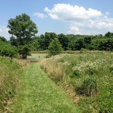
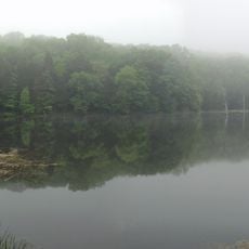
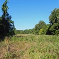
Don Robinson State Park is an 800-acre property in Jefferson County featuring sandstone box canyons, shelter caves, cliffs, and a mix of upland and bottomland forests. The park spans the LaBarque Creek watershed and displays a varied landscape shaped by underlying rock formations and water flow.

History

Businessman Don Robinson accumulated several land parcels starting in the 1960s and left the property to Missouri upon his death in 2012. His decades-long acquisition effort resulted in a contiguous protected area rather than separate holdings.

Culture

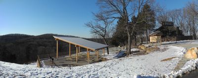
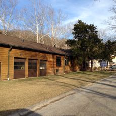
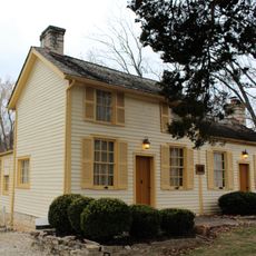
The park maintains Robinson's stone residence from 1978 as an educational center where visitors learn about local conservation and natural heritage.

Practical

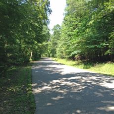
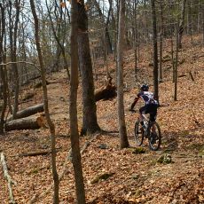
The park has two marked hiking trails crossing varying terrain with picnic areas and restrooms distributed throughout the grounds. Trail difficulty ranges from easy to moderate depending on which route you choose.

Did you know?

The sandstone formations visible throughout the park contain geological layers spanning millions of years that have created natural shelters and distinctive canyon features. Water erosion over these long periods shaped the rock into the intricate spaces visitors encounter today.

Location
Inception
2012
GPS coordinates
38.38444,-90.69917
Latest update
December 9, 2025 18:48

AroundUs brings together thousands of curated places, local tips, and hidden gems, enriched daily by 60,000 contributors worldwide. Discover all places nearby (Jefferson County).

Around this place
Six Flags St. Louis
United States of America

Six Flags St. Louis

14.4 km
Screamin' Eagle
United States of America

Screamin' Eagle

14.8 km
The Boss
United States of America

The Boss

14.8 km
Castlewood State Park
United States of America

Castlewood State Park

23.1 km
Route 66 State Park
United States of America

Route 66 State Park

16.6 km
Lone Elk County Park
United States of America

Lone Elk County Park

21.5 km
American Thunder
United States of America

American Thunder

14.4 km
Ninja
United States of America

Ninja

14.7 km
Boomerang
United States of America

Boomerang

14.8 km
Sandy Creek Covered Bridge State Historic Site
United States of America

Sandy Creek Covered Bridge State Historic Site

18.8 km
Shaw Nature Reserve
United States of America

Shaw Nature Reserve

15.4 km
Tyson Research Center
United States of America

Tyson Research Center

19.6 km
Rockwoods Reservation
United States of America

Rockwoods Reservation

20.5 km
Greensfelder County Park
United States of America

Greensfelder County Park

16.8 km
Robertsville State Park
United States of America

Robertsville State Park

10.9 km
Young Conservation Area
United States of America

Young Conservation Area

7.1 km
West Tyson County Park
United States of America

West Tyson County Park

18 km
Myron and Sonya Glassberg Family Conservation Area
United States of America

Myron and Sonya Glassberg Family Conservation Area

6.3 km
Rockwoods Range Conservation Area
United States of America

Rockwoods Range Conservation Area

15.1 km
Forest 44 Conservation Area
United States of America

Forest 44 Conservation Area

21.1 km
Grand Ole Carousel
United States of America

Grand Ole Carousel

14.6 km
Stonebrook
United States of America

Stonebrook

20.8 km
Thomas C. Fletcher House
United States of America

Thomas C. Fletcher House

20.5 km
Allenton Access
United States of America

Allenton Access

10.5 km
Engelmann Woods Natural Area
United States of America

Engelmann Woods Natural Area

21.8 km
St. Albans General Store
United States of America

St. Albans General Store

22.7 km
St. Albans Farms Stone Barn
United States of America

St. Albans Farms Stone Barn

22.7 km
Mr. Freeze
United States of America

Mr. Freeze

14.6 km
Show the full map
« Don Robinson State Park - State park in Jefferson County, Missouri » is provided by Around Us (aroundus.com). Images and texts are derived from Wikimedia project under a Creative Commons license. You are allowed to copy, distribute, and modify copies of this page, under the conditions set by the license, as long as this note is clearly visible.

Discover hidden gems everywhere you go!

From secret cafés to breathtaking viewpoints, skip the crowded tourist spots and find places that match your style. Our app makes it easy with voice search, smart filtering, route optimization, and insider tips from travelers worldwide. Download now for the complete mobile experience.

Around Us App Screenshot

A unique approach to discovering new places

Le Figaro

All the places worth exploring

France Info

A tailor-made excursion in just a few clicks

20 Minutes

Around Us
Travel Guide & Maps
Download

Send to your phone

QR Code
1

Open the camera app on your mobile.

2

Point at the QR code with your camera. A notification will appear.

3

Tap the notification to open the link.