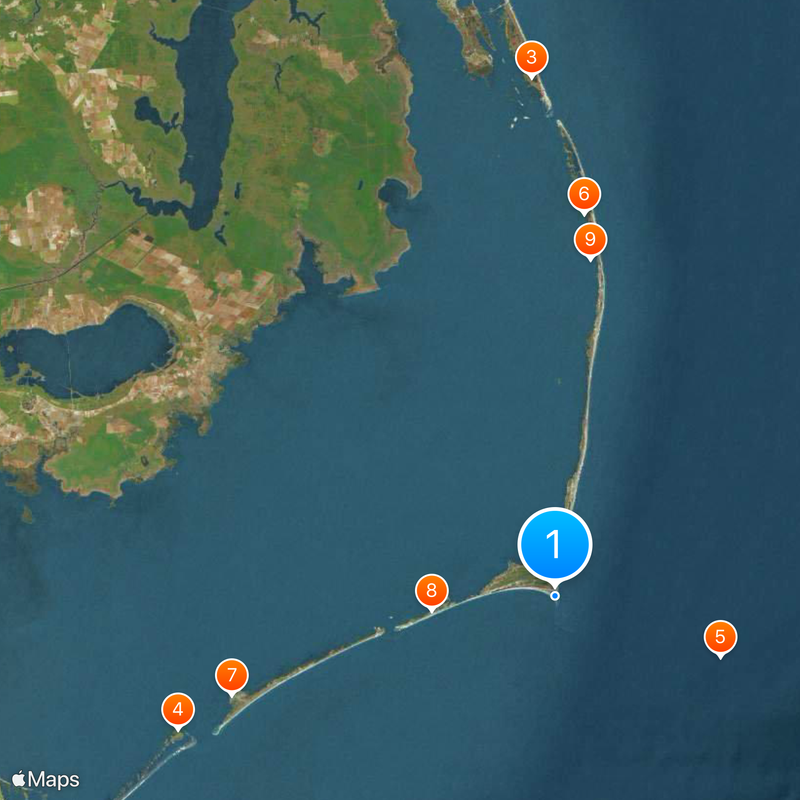
Cape Hatteras, Cape on North Carolina coast, US.
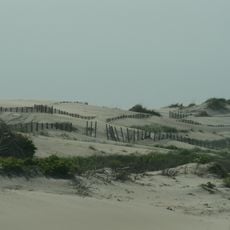
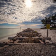
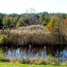
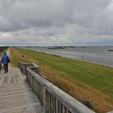
Cape Hatteras juts into the Atlantic from a narrow barrier island, forming a low-lying point of sand and dunes. Behind it lie coastal woodlands and marshy zones that gradually transition toward the mainland.
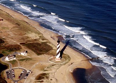
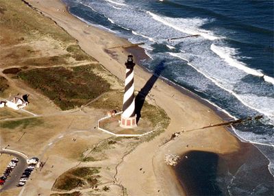
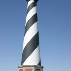
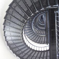
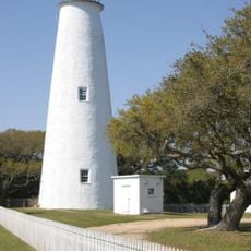
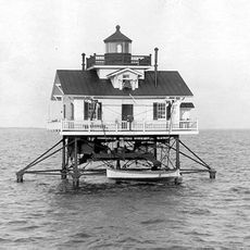
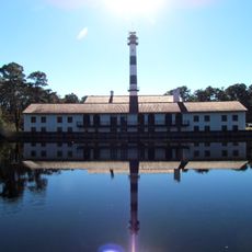
A navigation light appeared here in 1803 to guide ships past treacherous waters. The current brick tower went up in 1870, rising nearly 200 feet (60 m) above the shore.
The name comes from the Hatteras people who lived here when European explorers arrived in the 16th century. Local stories and place names along the shore still carry traces of their presence.
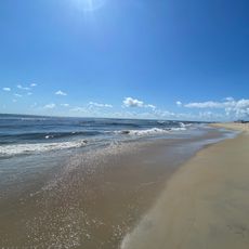
Swimming, fishing, and beachcombing work best from spring to autumn when the sea is calmer. A visitor center offers orientation and advice on currents and weather patterns.
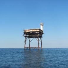
Two major ocean currents meet here and produce rough conditions and shallow sandbars. More than 600 vessels have gone down over the centuries in these turbulent waters.
The community of curious travelers
AroundUs brings together thousands of curated places, local tips, and hidden gems, enriched daily by 60,000 contributors worldwide.