National Road

Log in to your account

AroundUs is a community-driven map of interesting places, built by curious explorers like you. It grows with every review, story, and photo you share.
Connect to save your favorite spots, contribute locations, and create personalized routes.
By continuing, you accept our Terms and Conditions and our Privacy Policy
Add to collection
Map
Suggest a change
Share

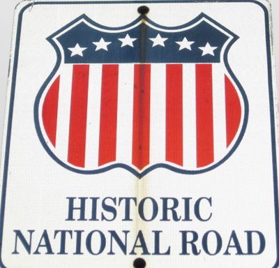
National Road, Historic federal highway from Cumberland to Vandalia, US

The National Road runs for 620 miles (roughly 1,000 kilometers) from Cumberland in Maryland to Vandalia in Illinois, crossing six states along the way. The route follows old trails and connects river valleys with mountain passes, with stone bridges and mileposts marking the original trace.

Construction started in 1811 as the first interstate road project of the federal government and aimed to connect the young republic with the west. The work stretched over several decades and reached Vandalia in the 1830s, before the railroad took over as the main route for long-distance travel.

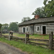
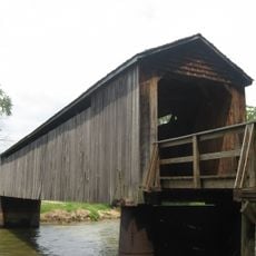
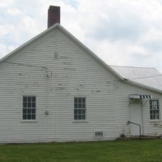
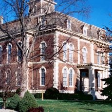
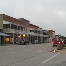
The road linked east coast towns with the interior and brought stagecoaches, traders and settlers together at taverns and rest stops along the way. Many of these old buildings still serve as restaurants or museums and show what life was like along the route in the 1800s.

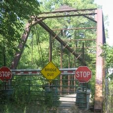
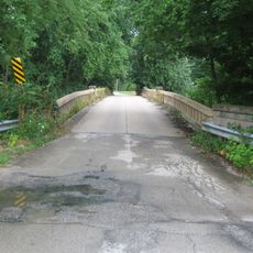
Today US Route 40 follows much of the old route, and signs point out the historic path. Some sections remain as narrow country roads with stone bridges, while others have merged into modern highways.

The Wheeling Suspension Bridge from 1849 once held the record as the longest suspension bridge in the world and marked an important point on the route. Travelers could cross the Ohio River here without relying on ferries, which sped up the journey westward considerably.

Location: Illinois

Location: Indiana

Location: Ohio

Location: West Virginia

Location: Pennsylvania

Location: Maryland

Inception: 1811

GPS coordinates: 39.14979,-88.41658

Latest update: December 4, 2025 23:03

Around this place
Show the full map
Lincoln Log Cabin State Historic Site
United States of America

Lincoln Log Cabin State Historic Site

31.5 km
President
United States of America

President

41.3 km
The Cross at the Crossroads
United States of America

The Cross at the Crossroads

14.2 km
Pemberton Hall
United States of America

Pemberton Hall

42.5 km
Old Main
United States of America

Old Main

42.6 km
Cumberland County Courthouse
United States of America

Cumberland County Courthouse

20.3 km
Thompson Mill Covered Bridge
United States of America

Thompson Mill Covered Bridge

36.7 km
Embarras River Bridge
United States of America

Embarras River Bridge

28.3 km
Health Education Building
United States of America

Health Education Building

42.3 km
Dr. Charles M. Wright House
United States of America

Dr. Charles M. Wright House

30.4 km
Clay County Courthouse
United States of America

Clay County Courthouse

42.5 km
Clarksburg Schoolhouse
United States of America

Clarksburg Schoolhouse

35.2 km
Unity Church
United States of America

Unity Church

37.2 km
United States Post Office (Mattoon, Illinois)
United States of America

United States Post Office (Mattoon, Illinois)

37.1 km
Thornton Ward Estate
United States of America

Thornton Ward Estate

19.5 km
Effingham County Courthouse
United States of America

Effingham County Courthouse

11.6 km
Jasper County Courthouse
United States of America

Jasper County Courthouse

28.3 km
Greenup Commercial Historic District
United States of America

Greenup Commercial Historic District

24.5 km
Burgess-Osborne Memorial Auditorium
United States of America

Burgess-Osborne Memorial Auditorium

37 km
Blakeman Bridge
United States of America

Blakeman Bridge

41.3 km
Richard Roytek House
United States of America

Richard Roytek House

37.4 km
Lumpkin Heights and Elm Ridge Subdivision Historic District
United States of America

Lumpkin Heights and Elm Ridge Subdivision Historic District

37.2 km
World's Largest Pitchfork
United States of America

World's Largest Pitchfork

42 km
Two-Story Outhouse
United States of America

Two-Story Outhouse

35.1 km
Trinity Lutheran Church
United States of America

Trinity Lutheran Church

20.9 km
Heart Theater
United States of America

Heart Theater

11.2 km
St Francis Catholic Church
United States of America

St Francis Catholic Church

5.1 km
Gays Water Tower
United States of America

Gays Water Tower

35 km
Show the full map

Reviews

Visited this place? Tap the stars to rate it and share your experience / photos with the community! Try now! You can cancel it anytime.

« National Road - Historic federal highway from Cumberland to Vandalia, US » is provided by Around Us (aroundus.com). Images and texts are derived from Wikimedia project under a Creative Commons license. You are allowed to copy, distribute, and modify copies of this page, under the conditions set by the license, as long as this note is clearly visible.

Discover hidden gems everywhere you go!

From secret cafés to breathtaking viewpoints, skip the crowded tourist spots and find places that match your style. Our app makes it easy with voice search, smart filtering, route optimization, and insider tips from travelers worldwide. Download now for the complete mobile experience.

Around Us App Screenshot

A unique approach to discovering new places

Le Figaro

All the places worth exploring

France Info

A tailor-made excursion in just a few clicks

20 Minutes