Kane, borough in Pennsylvania
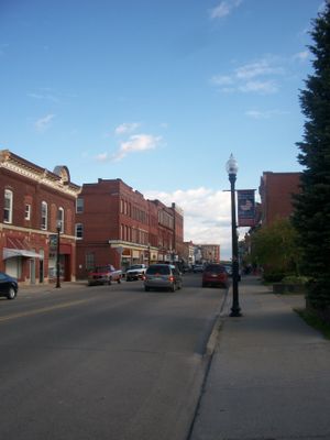
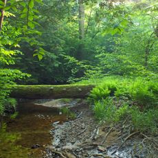
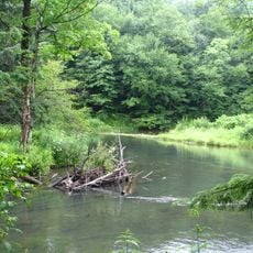
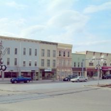
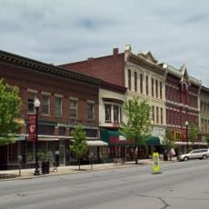
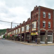
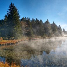
Kane is a borough in Pennsylvania located on a high plateau in McKean County, surrounded by dense forests. The town features clean streets with local shops, schools, a hospital, and major routes passing through its center to connect residents and visitors to the wider region.
Kane was founded in 1863-1864 by Thomas Kane, a Civil War officer who provided land for development. From the early 1900s through the mid-1900s, the town thrived with glass, wood, and metal manufacturing, though these industries eventually declined.
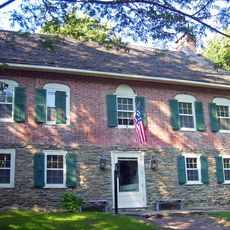
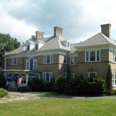
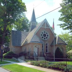
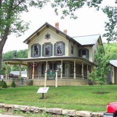
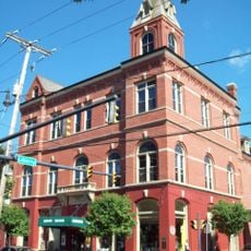
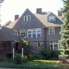
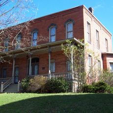
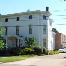
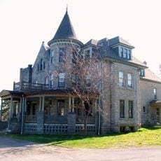
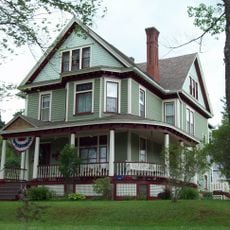
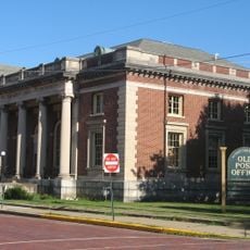
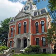
The town is named after Thomas Kane, a Civil War general whose family left a lasting mark on the community. Local gatherings and the historic buildings serve as gathering places where residents and visitors connect with the town's past and its people's accomplishments.
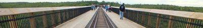
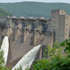
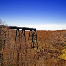
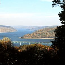
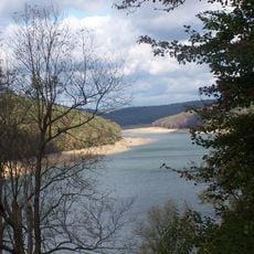
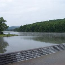
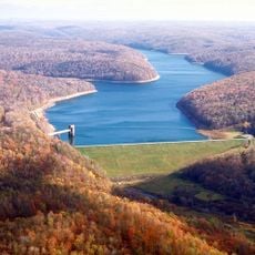
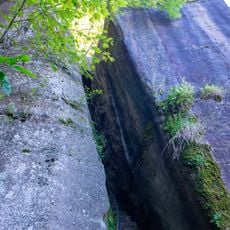
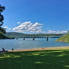
Kane sits along US Route 6 and State Route 66, offering easy access to the Allegheny National Forest and Kinzua Dam. Visitors should know that winters are cold and snowy while summers are mild and comfortable, making different seasons suitable for different outdoor activities.
President Ulysses S. Grant visited Kane in 1869 and was briefly arrested for fishing illegally, a story locals still tell with humor. Surgeon Evan O'Neill Kane, connected to the town's prominent family, made history by performing the first self-surgical operation using local anesthesia.
The community of curious travelers
AroundUs brings together thousands of curated places, local tips, and hidden gems, enriched daily by 60,000 contributors worldwide.