Nokesville, Census-designated place in Prince William County, Virginia, United States.
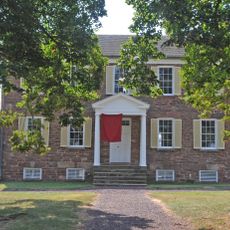
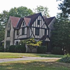
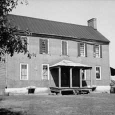
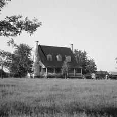
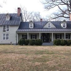
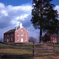
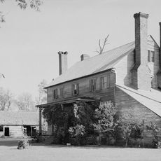
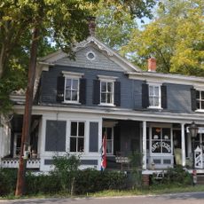
Nokesville is a residential community in Prince William County, Virginia, spread across a mix of homes and farmland. The area sits on gentle terrain with scattered houses and agricultural land interspersed throughout.
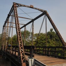
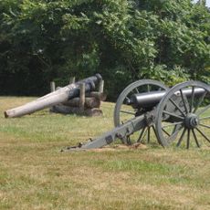
The settlement began as a railway stop on the Orange & Alexandria line during the 1860s, which helped it grow into a local hub. The rail connection allowed people to move goods and travel more easily between farms and distant markets.
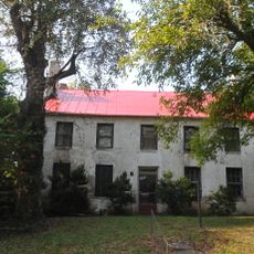
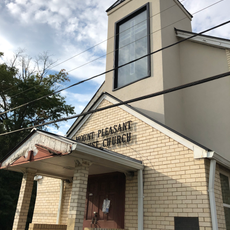
A German-language religious community settled here in the late 1800s and left a lasting mark on how residents view their shared identity. This heritage shapes the bonds people feel with their neighbors and their sense of belonging.
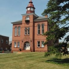
The area has several schools, including an elementary school operating since 1929, that serve local families. Visitors should know this is a spread-out residential area, so having a car is most practical for getting around.
A local service club called the Nokesville Ruritan Club hosts an annual parade each May called Nokesville Day with local groups and organizations. This one-day event brings the scattered community together for celebration and connection.
The community of curious travelers
AroundUs brings together thousands of curated places, local tips, and hidden gems, enriched daily by 60,000 contributors worldwide.