·

Enable Location

We need your location to show you interesting places around you

Discover nearby places

Find interesting locations and hidden gems around you

Precise directions

Get accurate directions and distances to places

Your location is never shared with other users. It's only used when you tap the location button.

Cape Charles

Log in to your account

Start exploring — it's free

Trusted by 62,752 travelers worldwide

Continue with Google
Continue with Apple
or

We will send you a code to connect

By continuing, you accept our Terms and Conditions and our Privacy Policy

Check your inbox

We've sent a pincode in your inbox. Please enter the code below.

Cape Charles, Administrative division in Northampton County, Virginia, United States.

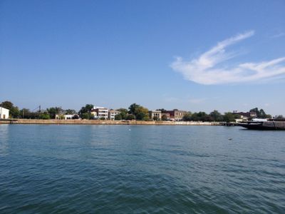
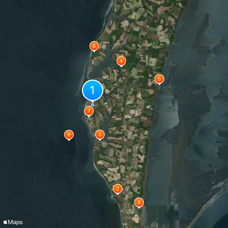
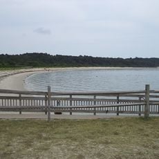
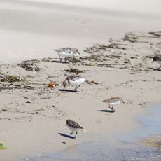
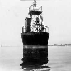
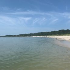
Cape Charles sits at the southern tip of Virginia's Eastern Shore peninsula, bordered by Chesapeake Bay and Atlantic Ocean waters. The town provides access to a public beach, fishing pier, and boat launches along the bay.

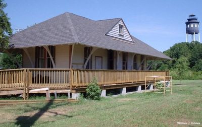
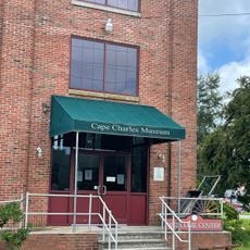
The town began in 1886 as a railroad hub, named after the Charles River. The railway was central to its early growth and connected the peninsula to larger trading centers.

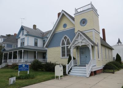
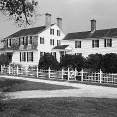
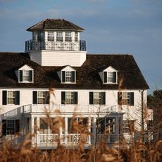
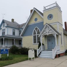
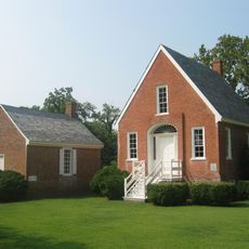
The downtown area displays Victorian-era buildings from the late 1800s that shape how the town looks today. Walking through, you notice original storefronts and details that show how people lived and worked during that period.

Visit during warmer months when water sports and beach activities are most active. The town is easy to explore on foot, with most attractions within walking distance of each other.

The town holds one of the largest collections of buildings from the 1880s on the East Coast. Many of these structures retain their original features, offering a rare view of construction methods and materials from that era.

The community of curious travelers

AroundUs brings together thousands of curated places, local tips, and hidden gems, enriched daily by 60,000 contributors worldwide.

Start exploring
Inception
1884
Elevation above the sea
1 m
GPS coordinates
37.26750,-76.01389
Latest update
December 17, 2025 08:53
Around this place
Kiptopeke State Park
United States of America

Kiptopeke State Park

11.3 km
Custis Tombs
United States of America

Custis Tombs

4.4 km
Eyre Hall
United States of America

Eyre Hall

5.8 km
Coast Guard Station Cobb Island
United States of America

Coast Guard Station Cobb Island

8.5 km
Savage Neck Dunes Natural Area Preserve
United States of America

Savage Neck Dunes Natural Area Preserve

6.5 km
United States of America

Cape Charles Coastal Habitat Natural Area Preserve

1.5 km
United States of America

Magothy Bay Natural Area Preserve

13.8 km
Old Plantation Flats Light
United States of America

Old Plantation Flats Light

5.2 km
Cape Charles Historic District
United States of America

Cape Charles Historic District

332 m
United States of America

Palace Theatre

308 m
Cherrystone Bar Light
United States of America

Cherrystone Bar Light

2.1 km
Northampton County Courthouse Historical District
United States of America

Northampton County Courthouse Historical District

11.2 km
United States of America

Stage Door Gallery

311 m
Eastville Historical District
United States of America

Eastville Historical District

11.2 km
United States of America

Cape Charles Museum and Welcome Center

497 m
Smith Beach
United States of America

Smith Beach

10.8 km
United States of America

Wilkins Beach

9.8 km
United States of America

Radium Theatre

422 m
United States of America

Tankards Beach

8.9 km
Kiptopeke Beach
United States of America

Kiptopeke Beach

11.6 km
United States of America

Butlers Bluff

10.1 km
United States of America

Bay Creek Golf Course

2.1 km
United States of America

Historic Palace Theatre

309 m
United States of America

At Altitude Gallery

352 m
United States of America

Smith Beach

10.8 km
United States of America

Tankards Beach

8.9 km
United States of America

Wilkins Beach

9.8 km
United States of America

Statue, Work of art

464 m
Show the full map
« Cape Charles - Administrative division in Northampton County, Virginia, United States » is provided by Around Us (aroundus.com). Images and texts are derived from Wikimedia project under a Creative Commons license. You are allowed to copy, distribute, and modify copies of this page, under the conditions set by the license, as long as this note is clearly visible.

Discover hidden gems everywhere you go!

From secret cafés to breathtaking viewpoints, skip the crowded tourist spots and find places that match your style. Our app makes it easy with voice search, smart filtering, route optimization, and insider tips from travelers worldwide. Download now for the complete mobile experience.

Around Us App Screenshot

A unique approach to discovering new places

Le Figaro

All the places worth exploring

France Info

A tailor-made excursion in just a few clicks

20 Minutes

Around Us
Travel Guide & Maps
Download

Send to your phone

QR Code
1

Open the camera app on your mobile.

2

Point at the QR code with your camera. A notification will appear.

3

Tap the notification to open the link.