Chest opened
+${chestReward.xp} XP
Explorer
NOUVEAU ×${chestReward.collectible.quantity}
tapez pour fermer

See the monuments around you in AR Open chests in the app

Around Us is built for your phone — point your camera at the streets and discover the monuments and places around you in augmented reality. Around Us is built for your phone — chests unlock when you walk, explore and capture nearby places.

Enable Location

We need your location to show you interesting places around you

Discover nearby places

Find interesting locations and hidden gems around you

Precise directions

Get accurate directions and distances to places

Your location is never shared with other users. It's only used when you tap the location button.

Manitowish Waters

Log in to your account

Start exploring — it's free

Trusted by 86,354 travelers worldwide

Continue with Google
Continue with Apple
or

We will send you a code to connect

By continuing, you accept our Terms and Conditions and our Privacy Policy

Check your inbox

We've sent a pincode in your inbox. Please enter the code below.

Discussion Reviews 1 Photos
13.7k Popularity

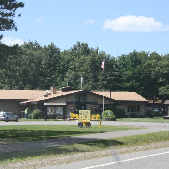
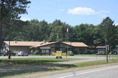
Manitowish Waters, Administrative division in Vilas County, Wisconsin, United States.

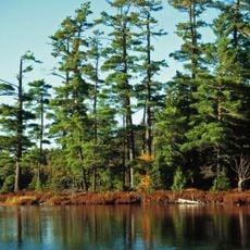
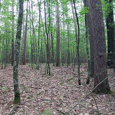
Manitowish Waters is a town in Vilas County, Wisconsin, defined by a network of ten connected lakes and surrounded by dense northern forest. The layout creates a water-centered environment where lakes, wooded shorelines, and forest cover dominate the landscape.

The area developed as a settlement through the early 20th century and gained prominence following a 1934 FBI operation at Little Bohemia Lodge targeting the Dillinger Gang. This shootout left a lasting mark on local memory and shaped how the region is remembered.

The North Lakeland Discovery Center serves as an educational space where visitors learn about regional wildlife and environmental conservation efforts. This facility helps people understand how the forests and lakes around here support diverse animal life.

The location works best for outdoor activities during warmer months when lakeside trails and forest paths are easily accessible. Winter brings snow and cold that can make some areas harder to reach, so planning ahead helps make the most of a visit.

Little Bohemia Lodge, still operating as a restaurant today, displays actual bullet holes from the 1934 shootout on its walls. These marks serve as a direct connection to one of the most famous law enforcement moments in American crime history.

The community of curious travelers

AroundUs brings together thousands of curated places, local tips, and hidden gems, enriched daily by 60,000 contributors worldwide.
Start exploring
Location
GPS coordinates
46.11102,-89.86661
Latest update
September 12, 2026 06:34
Around this place
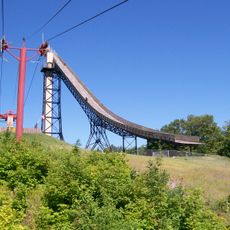
Copper Peak
United States of America

Copper Peak

35.5 mi
Sylvania Wilderness
United States of America

Sylvania Wilderness

28.2 mi
United States of America

Northern Highland-American Legion State Forest

11.1 mi
United States of America

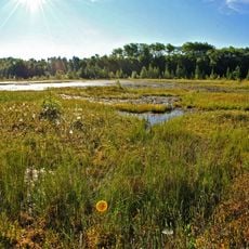
Powell Marsh Wildlife Area

2.8 mi
Eagle River Stadium
United States of America

Eagle River Stadium

34.3 mi
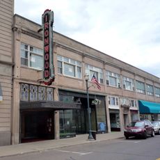
Ironwood Theatre
United States of America

Ironwood Theatre

27.8 mi
Black Tern Bog State Natural Area
United States of America

Black Tern Bog State Natural Area

12.8 mi
Wind Pudding Lake State Natural Area
United States of America

Wind Pudding Lake State Natural Area

26.7 mi
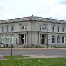
Ironwood Memorial/Municipal Building
United States of America

Ironwood Memorial/Municipal Building

27.8 mi
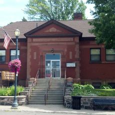
Ironwood Carnegie Library
United States of America

Ironwood Carnegie Library

27.8 mi
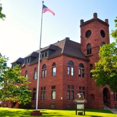
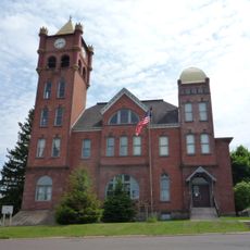
Gogebic County Courthouse
United States of America

Gogebic County Courthouse

27.2 mi
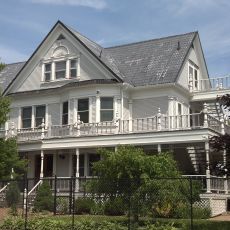
Solomon S. Curry House
United States of America

Solomon S. Curry House

27.7 mi
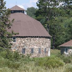
Annala Round Barn
United States of America

Annala Round Barn

25.5 mi
Rice Creek State Natural Area
United States of America

Rice Creek State Natural Area

6.8 mi
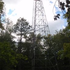
Fifield Fire Lookout Tower
United States of America

Fifield Fire Lookout Tower

26.9 mi
Old Iron County Courthouse
United States of America

Old Iron County Courthouse

27.8 mi
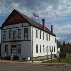
Fifield Town Hall
United States of America

Fifield Town Hall

31.2 mi
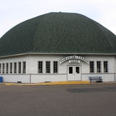
Marion Park Pavilion
United States of America

Marion Park Pavilion

34.7 mi
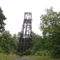
Plummer Mine Headframe
United States of America

Plummer Mine Headframe

28.9 mi
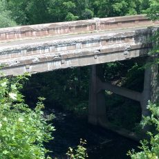
Planter Road – Jackson Creek Bridge
United States of America

Planter Road – Jackson Creek Bridge

28.3 mi
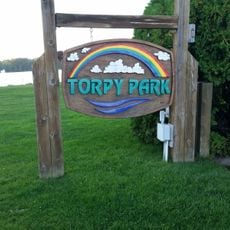
Torpy Park Beach
United States of America

Torpy Park Beach

18.1 mi
Glidden State Bank
United States of America

Glidden State Bank

34 mi
Finnerud Forest Scientific Area
United States of America

Finnerud Forest Scientific Area

18.4 mi
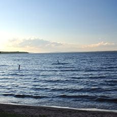
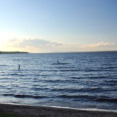
Lake Gogebic State Park Beach
United States of America

Lake Gogebic State Park Beach

27.9 mi
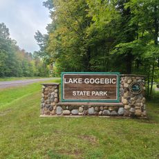
Lake Gogebic State Park
United States of America

Lake Gogebic State Park

27.7 mi
Lake Gogebic
United States of America

Lake Gogebic

30.1 mi
Main Street – Black River Bridge
United States of America

Main Street – Black River Bridge

25.9 mi
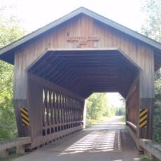
Smith Rapids Covered Bridge
United States of America

Smith Rapids Covered Bridge

20.2 mi
Show the full map
Reviews
Share your experience

No review yet

Discussions
Start a discussion...

No discussion yet

« Manitowish Waters - Administrative division in Vilas County, Wisconsin, United States » is provided by Around Us (aroundus.com). Images and texts are derived from Wikimedia project under a Creative Commons license. You are allowed to copy, distribute, and modify copies of this page, under the conditions set by the license, as long as this note is clearly visible.

Discover hidden gems everywhere you go!

From secret cafés to breathtaking viewpoints, skip the crowded tourist spots and find places that match your style. Our app makes it easy with voice search, smart filtering, route optimization, and insider tips from travelers worldwide. Download now for the complete mobile experience.
Around Us App Screenshot

A unique approach to discovering new places

Le Figaro

All the places worth exploring

France Info

A tailor-made excursion in just a few clicks

20 Minutes

Around Us
Travel Guide & Maps
Download

Send to your phone

QR Code
1

Open the camera app on your mobile.

2

Point at the QR code with your camera. A notification will appear.

3

Tap the notification to open the link.