Copper Peak, ski flying hill
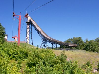
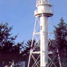
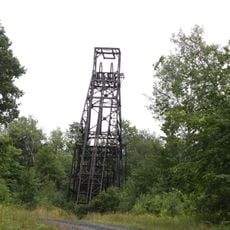
Copper Peak is a ski jumping hill in Ironwood Township, in the Upper Peninsula of Michigan, built into a natural bluff with a very steep drop. A steel tower rises from the top of the hill, lifting the takeoff ramp well above the treeline and making the structure visible from a distance.
Copper Peak opened in 1970 and was designed from the start to host international ski jumping competitions, filling a gap in North American winter sports infrastructure. It was added to the National Register of Historic Places in 2019, recognizing its role in the sport's history on the continent.
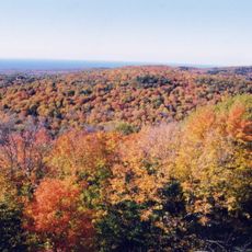
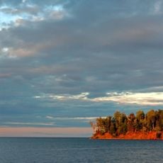
Copper Peak sits at the heart of a region with deep ties to winter sport, and the tower at the top of the jump is open to visitors as a scenic lookout over the forests of Michigan's Upper Peninsula. The view from up there gives a real sense of how exposed and steep the structure actually is.
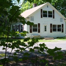
The site is outside the town of Ironwood and is easiest to reach by car, with a road leading up to the base of the hill. Opening days and events vary by season, so it is worth checking ahead before making the trip.
The tower at Copper Peak is tall enough that it functions as a public observation deck during summer months, long after the snow is gone. Standing at the top, you can look straight down the landing slope and into the forest below, which gives a clear sense of just how far a jumper travels through the air.
The community of curious travelers
AroundUs brings together thousands of curated places, local tips, and hidden gems, enriched daily by 60,000 contributors worldwide.