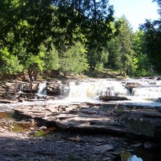
Great Conglomerate Falls, Waterfall in Gogebic County, Michigan
Great Conglomerate Falls is a waterfall on the Black River in Gogebic County where water divides around a massive conglomerate rock formation in the middle. The two separate streams rejoin below, creating a distinctive two-part drop roughly 30 feet (9 meters) in total height.
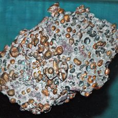
The falls take their name from the substantial conglomerate rock outcropping that formed through geological processes in the riverbed. This rock formation has shaped the water's erosion patterns over thousands of years, creating the distinctive two-stream configuration visible today.
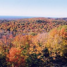
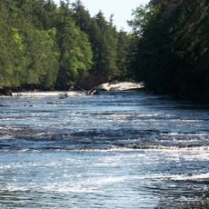
This waterfall stands as the first of five major cascades along the Black River Scenic Byway, forming part of Michigan's natural water network.
A three-quarter mile (1.2 kilometers) walking trail leads from the parking area to viewing platforms overlooking the falls. The trail is the main access point, and the platforms provide the best vantage points for seeing both water streams clearly.
During summer when water levels drop, the two streams become visibly more separated and each side falls as its own distinct drop. The central rock becomes more prominent in these months, giving the falls a different appearance than during higher water periods.
The community of curious travelers
AroundUs brings together thousands of curated places, local tips, and hidden gems, enriched daily by 60,000 contributors worldwide.