Porcupine Mountains Wilderness State Park, State park with old-growth forests in Upper Peninsula, Michigan.
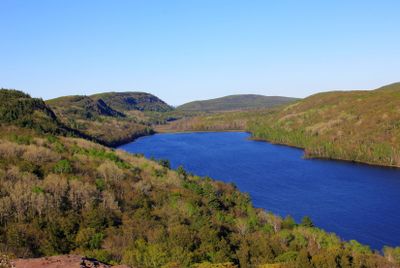
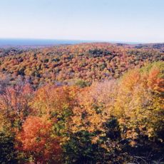
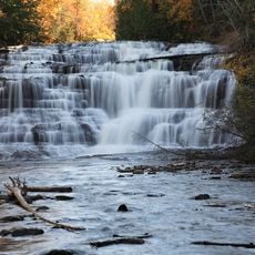
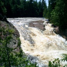
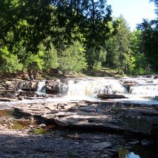
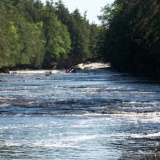
Porcupine Mountains Wilderness State Park is a large forest preserve in Michigan's Upper Peninsula featuring steep ridges, cascading waterfalls, and a rocky shoreline along Lake Superior. The landscape shifts between dense wooded valleys and open vistas where visitors can see across the water for long distances.
This land became protected as a state park in 1984 to preserve the largest continuous tract of old-growth hardwood forest in North America. The forest developed over centuries in a region largely untouched by large-scale industrial logging.
Native American tribes maintained strong connections to this land, utilizing its resources and incorporating the mountains into their traditional practices and beliefs.
The park offers over 140 kilometers of marked trails for hiking through varied terrain, ranging from short day walks to multi-day backcountry routes. Lodging options include campgrounds and basic cabins positioned at different locations throughout the park.
Specialized viewing devices at Lake of the Clouds and Summit Peak allow visitors with color blindness to see the full range of hues in the landscape. These installations make the visual experience of the park more complete for people who typically perceive colors differently.
The community of curious travelers
AroundUs brings together thousands of curated places, local tips, and hidden gems, enriched daily by 60,000 contributors worldwide.