Nantucket Shoals, Underwater sandbar complex in Massachusetts, United States.
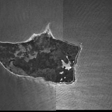
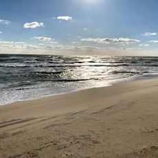
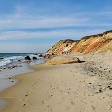
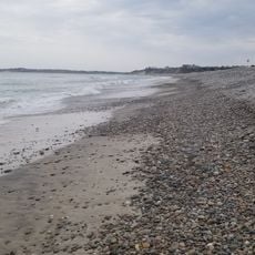
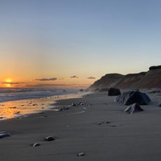
Nantucket Shoals is a large system of underwater sandbars off the southern coast of Nantucket Island, extending well into the Atlantic Ocean and creating one of the most hazardous stretches of water along the US East Coast. The seafloor here is shallow and uneven, and the shape of the sandbars changes over time as currents and storms move the sand around.
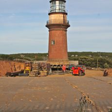
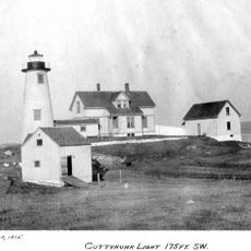
European sailors began charting the Nantucket Shoals in the 1600s, recognizing them as a serious threat to ships crossing between Europe and North America. Over the following centuries, hundreds of ships ran aground here, which led authorities to station lightships in the area to warn passing vessels.
Fishing communities along the Massachusetts coast have long relied on the waters around Nantucket Shoals as productive grounds for cod, haddock, and other fish. Generations of fishermen have built a practical familiarity with the shifting sandbars that few outsiders share.
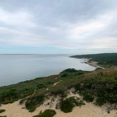
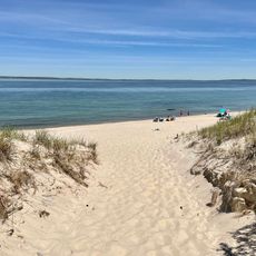
This area is not a destination to visit in the traditional sense but is relevant mainly to boaters and sailors passing through the waters south of Nantucket Island. Anyone navigating nearby should use up-to-date charts and check weather conditions in advance, since fog and strong currents can make the area more difficult to cross safely.
Benjamin Franklin, while serving as Postmaster General in the 1700s, worked with Nantucket whalers to map the Gulf Stream, using observations from the waters around the shoals. The whalers already knew these currents well and helped Franklin produce one of the earliest printed charts of the Gulf Stream.
The community of curious travelers
AroundUs brings together thousands of curated places, local tips, and hidden gems, enriched daily by 60,000 contributors worldwide.