Chest opened
+${chestReward.xp} XP
Explorer
NOUVEAU ×${chestReward.collectible.quantity}
tapez pour fermer

See the monuments around you in AR Open chests in the app

Around Us is built for your phone — point your camera at the streets and discover the monuments and places around you in augmented reality. Around Us is built for your phone — chests unlock when you walk, explore and capture nearby places.

Enable Location

We need your location to show you interesting places around you

Discover nearby places

Find interesting locations and hidden gems around you

Precise directions

Get accurate directions and distances to places

Your location is never shared with other users. It's only used when you tap the location button.

Log in to your account

Start exploring — it's free

Trusted by 84,769 travelers worldwide

Continue with Google
Continue with Apple
or

We will send you a code to connect

By continuing, you accept our Terms and Conditions and our Privacy Policy

Check your inbox

We've sent a pincode in your inbox. Please enter the code below.

Dukes Research Natural Area
Discussion Reviews Photo
2.3k Popularity

Dukes Research Natural Area, Experimental forest and National Natural Landmark in Michigan, United States.

Dukes Research Natural Area is a 233-acre forest in Michigan's Upper Peninsula that forms part of an experimental forest complex. It contains mature tree stands with species including eastern hemlock, sugar maple, and white cedar distributed across different forest types.

The forest received its National Natural Landmark designation in 1974 from the U.S. Department of Interior. This recognition followed extensive logging across the Upper Peninsula before 1920 that had dramatically altered the landscape.

Scientists use this natural area as a reference site to study northern hardwood forests and track ecological shifts over long periods. Visitors encounter an active research site where experts regularly collect data and document forest patterns.

The area lies about 10 miles west of Chatham along State Road M-94 in eastern Marquette County. Visitors should wear sturdy footwear for wet terrain and be aware that active research operations may limit access to certain sections.

The forest protects intact white cedar and conifer swamps that are uncommon in the region and preserve some original forest conditions. These wetland forests are difficult to reach and show the natural state that existed before regional logging operations.

The community of curious travelers

AroundUs brings together thousands of curated places, local tips, and hidden gems, enriched daily by 60,000 contributors worldwide.
Start exploring
Location
GPS coordinates
46.35000,-87.16670
Latest update
August 20, 2026 04:02
Around this place
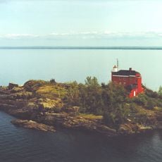
Marquette Harbor Light
United States of America

Marquette Harbor Light

27.2 km
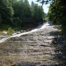
Laughing Whitefish Falls Scenic Site
United States of America

Laughing Whitefish Falls Scenic Site

8.9 km
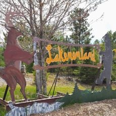
Lakenenland
United States of America

Lakenenland

15.9 km
Lakenenland
United States of America

Lakenenland

15.9 km
United States of America

Marquette Maritime Museum

27.2 km
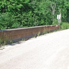
King Road–Whitefish River Bridge
United States of America

King Road–Whitefish River Bridge

11.2 km
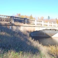
M-28–Sand River Bridge
United States of America

M-28–Sand River Bridge

16.8 km
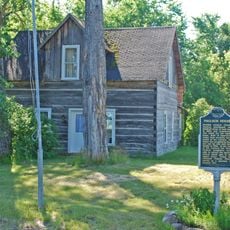
Paulson House
United States of America

Paulson House

25.1 km
Marquette Maritime Museum
United States of America

Marquette Maritime Museum

27.2 km
United States of America

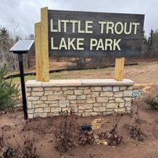
Little Trout Lake Park

16.8 km
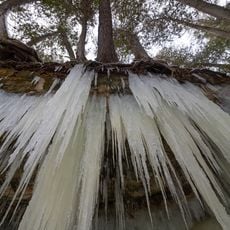
Eben ice caves
United States of America

Eben ice caves

17.5 km
United States of America

Mount Marquette Scenic Overlook

25.7 km
United States of America

Mount Marquette Scenic Overlook

25.9 km
United States of America

Lakenenland

15.7 km
United States of America

Morgan Falls

27.1 km
United States of America

Scenic viewpoint

26.1 km
United States of America

Buschell Vista Overlook

24.9 km
United States of America

Benson Overlook

26.8 km
United States of America

Morgan Falls Overlook

27 km
United States of America

Mount Marquette Scenic Overlook

25.6 km
United States of America

Boeing B-52D

16.6 km
United States of America

Rock Cut Overlook

22.8 km
United States of America

City of Marquette Overlook

23.3 km
United States of America

Cataract Dam Falls

26.8 km
United States of America

F-101 Voodoo

16.7 km
United States of America

F-106 Delta Dart

16.6 km
United States of America

F-111 Aardvark

16.7 km
United States of America

Lockheed T-33

16.3 km
Show the full map
Reviews
Share your experience

No review yet

Discussions
Start a discussion...

No discussion yet

« Dukes Research Natural Area - Experimental forest and National Natural Landmark in Michigan, United States » is provided by Around Us (aroundus.com). Images and texts are derived from Wikimedia project under a Creative Commons license. You are allowed to copy, distribute, and modify copies of this page, under the conditions set by the license, as long as this note is clearly visible.

Discover hidden gems everywhere you go!

From secret cafés to breathtaking viewpoints, skip the crowded tourist spots and find places that match your style. Our app makes it easy with voice search, smart filtering, route optimization, and insider tips from travelers worldwide. Download now for the complete mobile experience.

Around Us App Screenshot

A unique approach to discovering new places

Le Figaro

All the places worth exploring

France Info

A tailor-made excursion in just a few clicks

20 Minutes

Around Us
Travel Guide & Maps
Download

Send to your phone

QR Code
1

Open the camera app on your mobile.

2

Point at the QR code with your camera. A notification will appear.

3

Tap the notification to open the link.