
Dimla Upazila, An Upazila of Bangladesh
Location: Nilphamari District
Elevation above the sea: 55 m
Website: http://dimla.nilphamari.gov.bd
Website: http://dimla.nilphamari.gov.bd
GPS coordinates: 26.12780,88.92500
Latest update: March 19, 2025 10:33
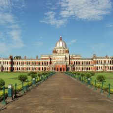
Cooch Behar Palace
55.9 km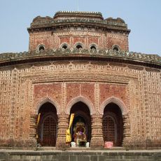
Kantajew Temple
45.6 km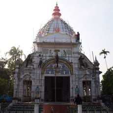
Madhupur Satra
52.3 km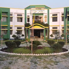
Uttar Banga Krishi Viswavidyalaya
55.2 km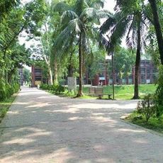
Rangpur Polytechnic Institute
53.6 km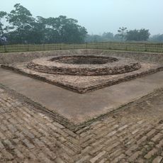
Rajpat
42.6 km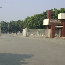
Uttara Export Processing Zone
30.6 km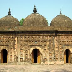
Nayabad Mosque
46.8 km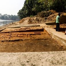
Bhitagarh
47.7 km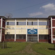
Nilphamari Stadium
23.2 km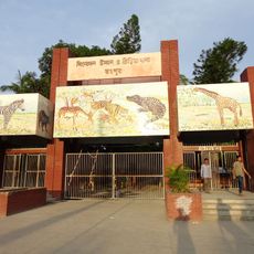
Recreation Park and Rangpur Zoo
52.8 km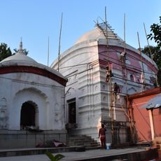
Kamteswari temple
43.7 km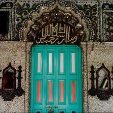
Chini Mosque
37.3 km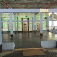
Laldighi Mosque
45 km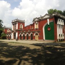
Rangpur Town Hall
52.9 km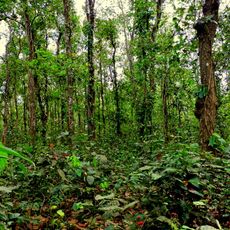
Singra National Park
44.8 km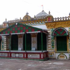
Kaliya jue Temple
45.6 km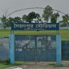
Saidpur Stadium
39.5 km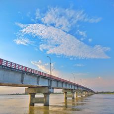
Gangachara Sheikh Hasina Bridge
43.8 km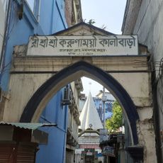
রীঁ শ্রী শ্রী করুণাময়ী কালীবাড়ি
53.4 km
Birgonj National Park
40.6 km
Panchagarh Rocks Museum
43.2 km
Thakurgaon Polytechnic Institute
49.2 km
Shasoto Bangla Museum
51.6 km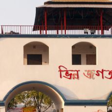
Vinnyajagat
37.9 km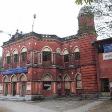
Kalyan Bhawan
55.9 km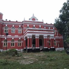
Victor Palace
55.6 km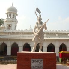
Monument to the War of Liberation
55.9 kmReviews
Visited this place? Tap the stars to rate it and share your experience / photos with the community! Try now! You can cancel it anytime.
Discover hidden gems everywhere you go!
From secret cafés to breathtaking viewpoints, skip the crowded tourist spots and find places that match your style. Our app makes it easy with voice search, smart filtering, route optimization, and insider tips from travelers worldwide. Download now for the complete mobile experience.

A unique approach to discovering new places❞
— Le Figaro
All the places worth exploring❞
— France Info
A tailor-made excursion in just a few clicks❞
— 20 Minutes