
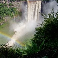
Kata Fall, Wasserfall in Brasilien
Location: Brazil
Elevation above the sea: 337 m
GPS coordinates: 4.28333,-59.71667
Latest update: April 8, 2025 10:33
Kaieteur Falls
102.6 km
Pedra Pintada
138.4 km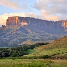
Kukenán-tepui
161 km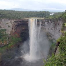
Kaieteur National Park
109.1 km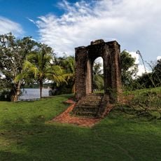
Fort Kyk-Over-Al
259.5 km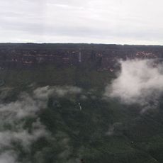
Monte Roraima National Park
101.2 km
Jasper Creek
167.4 km
Serra do Tepequém
233.2 km
Fuerte de São Joaquim do Rio Branco
162.7 km
Cuquenan Falls
158.7 km
Aponwao Falls
243.3 km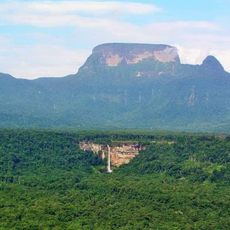
Mount Ayanganna
126.4 km
Orinduik Falls
60.1 km
Salto Kamá
209 km
Ilú–Tramen Massif
189.8 km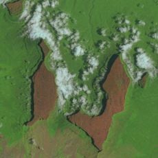
Wei-Assipu-tepui
151.2 km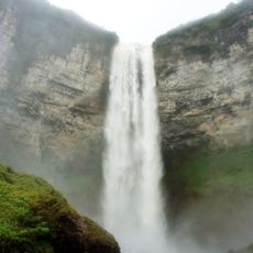
King George VI Falls
220.1 km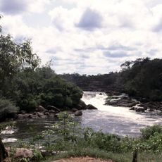
Wonotobo Falls
196.3 km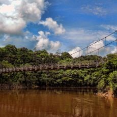
Denham Suspension Bridge
137.6 km
Wadakapiapué-tepui
176.5 km
Estación Terrena de Luepa
255 km
St. Helen's Cathedral
159.5 km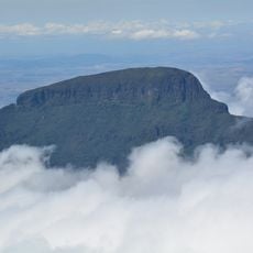
Karaurín-tepui
186.4 km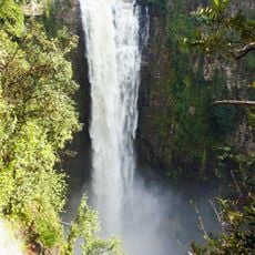
Kamarang Great Falls
215.6 km
Pacheco Waterfall
181.6 km
Yuruaní Falls
177.5 km
Capilla de Santa Teresita
268.2 km
União Operária Beneficente
194 kmReviews
Visited this place? Tap the stars to rate it and share your experience / photos with the community! Try now! You can cancel it anytime.
Discover hidden gems everywhere you go!
From secret cafés to breathtaking viewpoints, skip the crowded tourist spots and find places that match your style. Our app makes it easy with voice search, smart filtering, route optimization, and insider tips from travelers worldwide. Download now for the complete mobile experience.

A unique approach to discovering new places❞
— Le Figaro
All the places worth exploring❞
— France Info
A tailor-made excursion in just a few clicks❞
— 20 Minutes