Hondarribia, Administrative division in Gipuzkoa Province, Spain
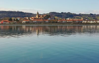
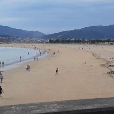
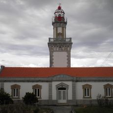
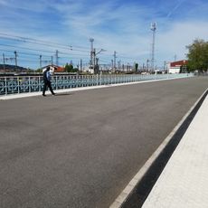
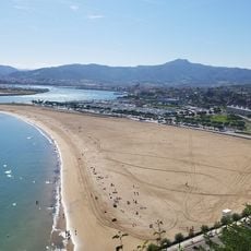
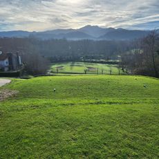
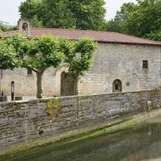
Hondarribia occupies the northern tip of Gipuzkoa Province, where the Bidasoa River meets the sea and forms the frontier with France across the bay. The town rises on low hills overlooking Txingudi Bay, with a walled medieval center at the highest point and newer districts spreading along the waterfront and inland valleys.
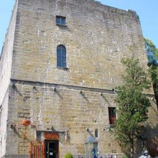
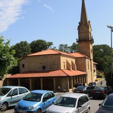
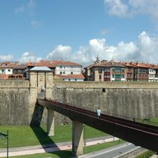
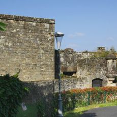
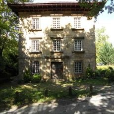
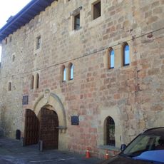
Alfonso VIII of Castile granted town privileges in 1203, turning the settlement into a fortified frontier post facing France. Over the following centuries the place endured repeated sieges and rebuilding campaigns, with the current walls and gates taking their final form during the 16th and 17th centuries.
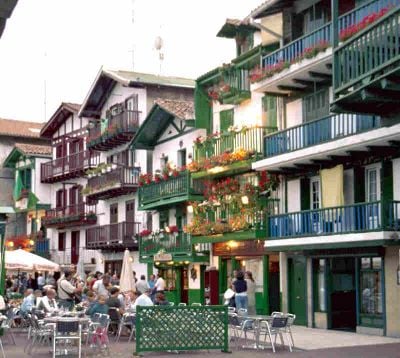
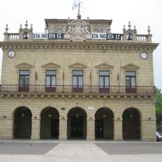
The name combines the Basque words for sand and ford, recalling a time when travelers crossed the river at a shallow point near the estuary. Today the bilingual character shapes the entire public space, with every street sign and official notice appearing in both Basque and Spanish side by side.
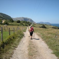
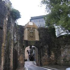
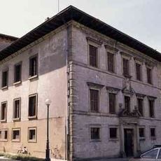
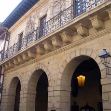
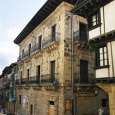
Access to the walled quarter passes through stone gateways, and the narrow streets inside are best explored on foot with sturdy shoes for the cobbled surfaces. Summer weekends bring crowds from mid‑morning onward, while off‑season visits offer quieter walks and clearer views of the architecture.
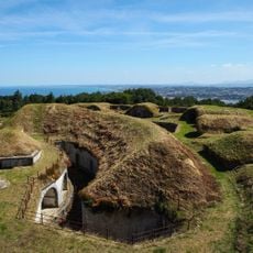
The fortification walls encircle the old quarter without interruption, incorporating watchtowers and passageways from the 16th and 17th centuries that remain open to walkers. Visitors can follow sections of the rampart and look over rooftops toward the water, experiencing firsthand the military logic that shaped the layout.
The community of curious travelers
AroundUs brings together thousands of curated places, local tips, and hidden gems, enriched daily by 60,000 contributors worldwide.