Enable Location

We need your location to show you interesting places around you

Discover nearby places

Find interesting locations and hidden gems around you

Precise directions

Get accurate directions and distances to places

Your location is never shared with other users. It's only used when you tap the location button.

Calatayud

Log in to your account

Start exploring — it's free

Trusted by 62,074 travelers worldwide

Continue with Google
Continue with Apple
or

We will send you a code to connect

By continuing, you accept our Terms and Conditions and our Privacy Policy

Check your inbox

We've sent a pincode in your inbox. Please enter the code below.

Calatayud, Provincial municipality in Zaragoza, Spain

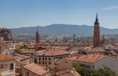
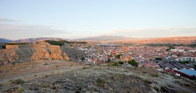
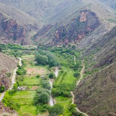
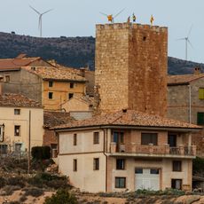
Calatayud sits at 530 meters (1,740 feet) elevation along the Jalón River, surrounded by the Sistema Ibérico mountains in northeastern Spain. The municipality spreads across nearby hills and valleys, connecting different settlements in a semi-arid landscape with grain and olive cultivation.

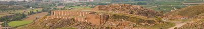
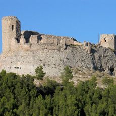
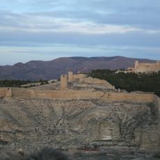
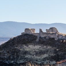
The Romans founded Augusta Bilbilis near the present town, later a Moorish fortress named Qal'at Ayyub arose in 716. After Christian reconquest in the 12th century, the town developed into a regional trade center along the route between Zaragoza and Madrid.

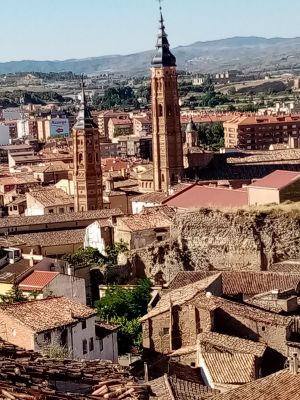
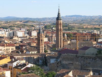
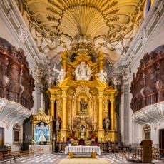
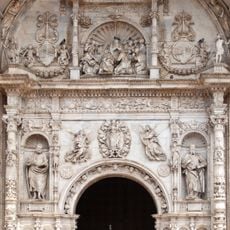
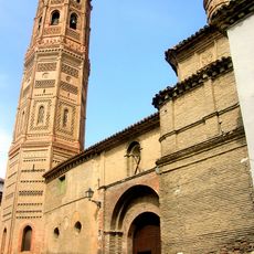
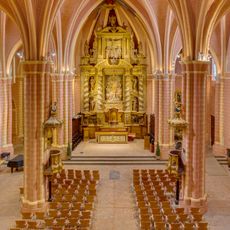
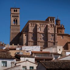
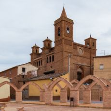
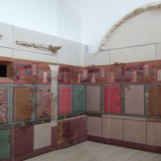
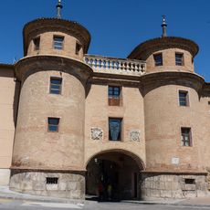
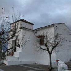
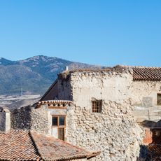
The name comes from Qal'at Ayyub, meaning 'fortress of Ayyub,' a reminder of the Moorish period. Visitors today see brickwork and ceramic decorations in the Mudéjar building tradition, which combines Christian and Islamic design.

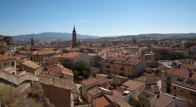
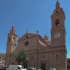
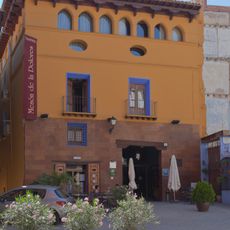
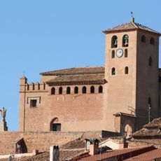
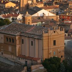
The municipality lies on the road between Zaragoza and Madrid and is easy to reach by car or train. Visitors find lodging and restaurants in the historic town center and can walk through the streets and to the churches on foot.

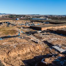
Excavations nearby uncovered the birthplace of Roman poet Martial, who wrote numerous epigrams in the first century. His poems describe life in Rome and his longing for the Spanish homeland, which he never forgot after decades in Italy.

The community of curious travelers

AroundUs brings together thousands of curated places, local tips, and hidden gems, enriched daily by 60,000 contributors worldwide.

Start exploring
Capital city
Calatayud city
Elevation above the sea
530 m
Shares border with
Ateca, Terrer, Sestrica, Morés, Sabiñán, Paracuellos de la Ribera, El Frasno, Sediles, Villalba de Perejil, Paracuellos de Jiloca, Cervera de la Cañada, Torralba de Ribota
Address
Calatayud, Zaragoza, Spain
GPS coordinates
41.35276,-1.64230
Latest update
December 14, 2025 17:05
« Calatayud - Provincial municipality in Zaragoza, Spain » is provided by Around Us (aroundus.com). Images and texts are derived from Wikimedia project under a Creative Commons license. You are allowed to copy, distribute, and modify copies of this page, under the conditions set by the license, as long as this note is clearly visible.

Discover hidden gems everywhere you go!

From secret cafés to breathtaking viewpoints, skip the crowded tourist spots and find places that match your style. Our app makes it easy with voice search, smart filtering, route optimization, and insider tips from travelers worldwide. Download now for the complete mobile experience.

Around Us App Screenshot

A unique approach to discovering new places

Le Figaro

All the places worth exploring

France Info

A tailor-made excursion in just a few clicks

20 Minutes

Around Us
Travel Guide & Maps
Download

Send to your phone

QR Code
1

Open the camera app on your mobile.

2

Point at the QR code with your camera. A notification will appear.

3

Tap the notification to open the link.