Orihuela

Log in to your account

AroundUs is a community-driven map of interesting places, built by curious explorers like you. It grows with every review, story, and photo you share.
Connect to save your favorite spots, contribute locations, and create personalized routes.
By continuing, you accept our Terms and Conditions and our Privacy Policy
Add to collection
Map
Suggest a change
Share

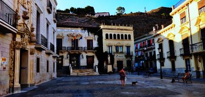
Orihuela, Municipality and administrative center in Vega Baja del Segura, Spain

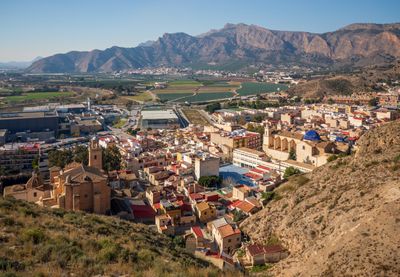
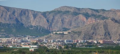
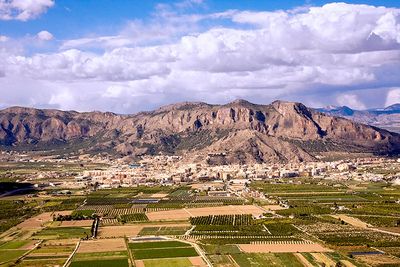
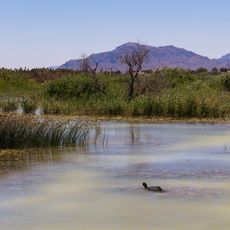
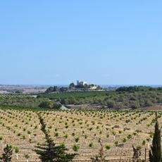
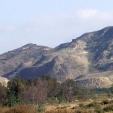
Orihuela is a municipality and administrative center in the Vega Baja del Segura, part of Alicante province. The municipal territory stretches from 23 to 236 meters (75 to 774 feet) above sea level and includes both urban neighborhoods and agricultural plains along the Segura riverbanks.

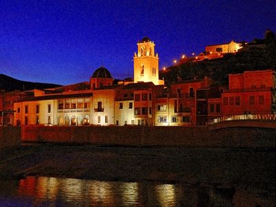
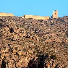
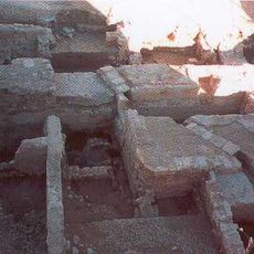
Romans founded a settlement here called Orcelis, which became Aurariola under Visigothic control. From 713 onward the town served as the capital of Theodimir's kingdom, marking its importance in early medieval Iberia.

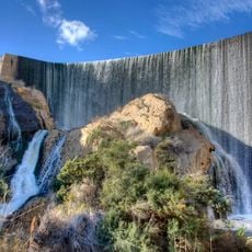
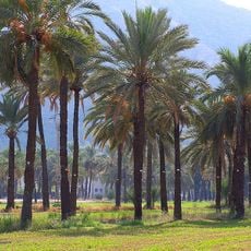
The Segura River has shaped local farming practices for centuries, and you can still see irrigation channels and citrus groves along its banks today. Many residents speak Spanish in daily life, which sets this town apart from other places in the region where Valencian is more commonly heard.

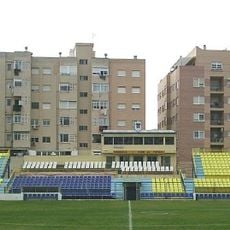
La Zenia Boulevard shopping center offers around 150 shops and restaurants and serves as the main retail hub in Vega Baja. Visitors planning to explore the more rural parts of the municipality should keep in mind that distances between settlements can be substantial and a vehicle may be helpful.

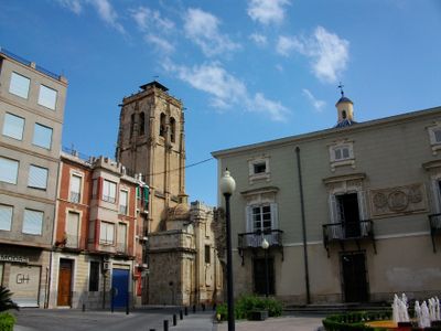
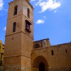
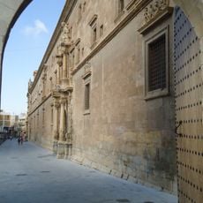
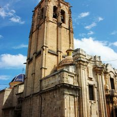
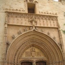
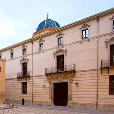
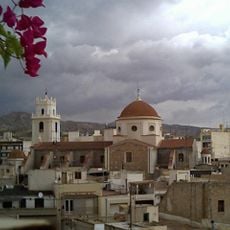
The Cathedral of El Salvador combines Gothic and Baroque building elements and shows the different phases of religious architecture in the town. Its interior preserves artworks and liturgical objects gathered over several centuries.

Location: Province of Alicante

Location: Vega Baja del Segura

Capital city: Orihuela

Elevation above the sea: 23 m

Shares border with: Albatera, Algorfa, Algueña, Almoradí, Benejúzar, Benferri, Bigastro, Callosa de Segura, Catral, Cox, Granja de Rocamora, El Fondó de les Neus, Hondón de los Frailes, Rafal, Redován, La Romana, Pilar de la Horadada, San Miguel de Salinas, Torrevieja, Jacarilla, Murcia, Beniel, Santomera, Fortuna, Abanilla

Address: Orihuela, Alicante, Spain

Website: http://orihuela.es

GPS coordinates: 38.08556,-0.94694

Latest update: December 4, 2025 23:04

Reviews

Visited this place? Tap the stars to rate it and share your experience / photos with the community! Try now! You can cancel it anytime.

« Orihuela - Municipality and administrative center in Vega Baja del Segura, Spain » is provided by Around Us (aroundus.com). Images and texts are derived from Wikimedia project under a Creative Commons license. You are allowed to copy, distribute, and modify copies of this page, under the conditions set by the license, as long as this note is clearly visible.

Discover hidden gems everywhere you go!

From secret cafés to breathtaking viewpoints, skip the crowded tourist spots and find places that match your style. Our app makes it easy with voice search, smart filtering, route optimization, and insider tips from travelers worldwide. Download now for the complete mobile experience.

Around Us App Screenshot

A unique approach to discovering new places

Le Figaro

All the places worth exploring

France Info

A tailor-made excursion in just a few clicks

20 Minutes