Enable Location

We need your location to show you interesting places around you

Discover nearby places

Find interesting locations and hidden gems around you

Precise directions

Get accurate directions and distances to places

Your location is never shared with other users. It's only used when you tap the location button.

Barajas

Log in to your account

Start exploring — it's free

Trusted by 62,068 travelers worldwide

Continue with Google
Continue with Apple
or

We will send you a code to connect

By continuing, you accept our Terms and Conditions and our Privacy Policy

Check your inbox

We've sent a pincode in your inbox. Please enter the code below.

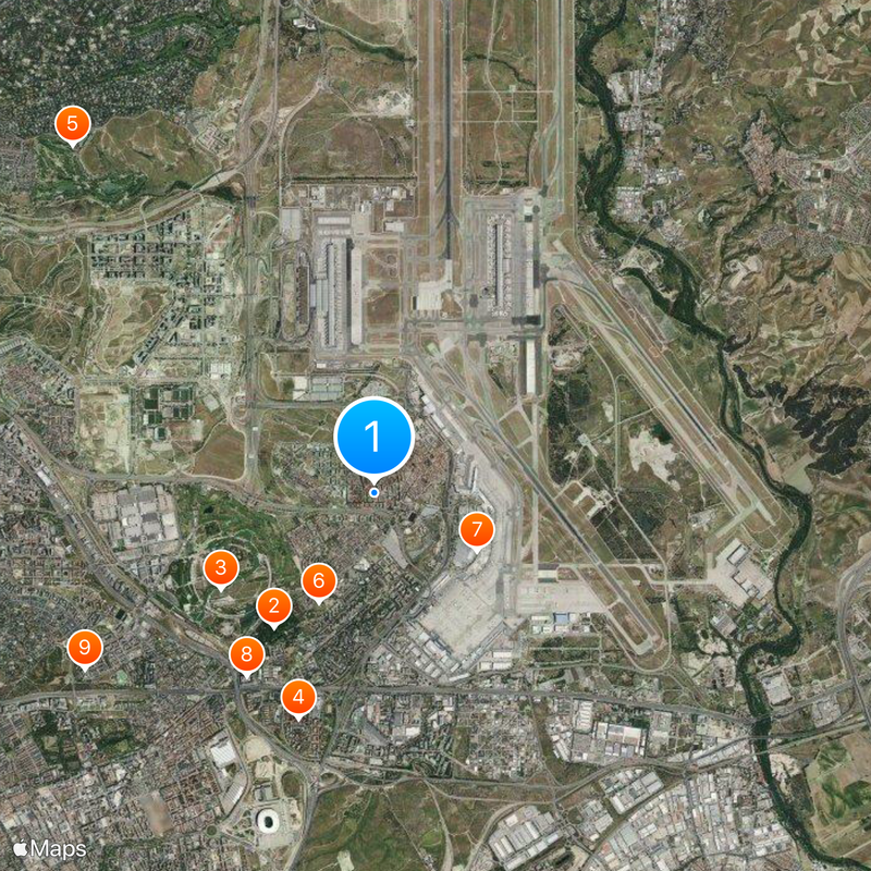
Barajas, Administrative district in Madrid, Spain

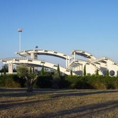
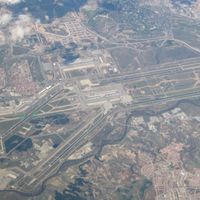
Barajas is a district of Madrid that covers a substantial area and includes five different neighborhoods. The area features a major airport terminal alongside traditional residential zones that show varying urban layouts.

The area was originally an independent municipality called Villa de Barajas before merging with Madrid in 1949. This joining marked a major step in the capital's expansion beyond its former boundaries.

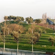
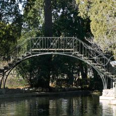
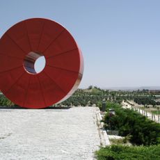
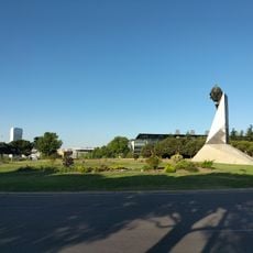
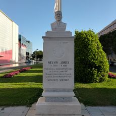
The Alameda de Osuna neighborhood features the Parque de El Capricho, where visitors can explore gardens designed with French, English, and Italian styles. These green spaces remain central to how people experience and enjoy the area today.

The district is easily accessible by public transit, including subway lines serving multiple stations throughout the area. Visitors should keep in mind that the district is very spread out, and walking between different neighborhoods takes considerable time.

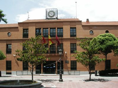
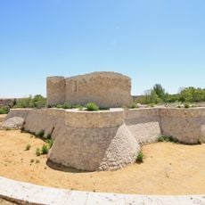
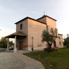
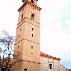
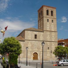
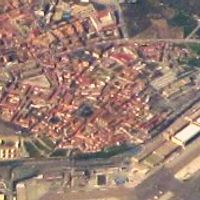
The historic center east of Avenida de Logroño preserves buildings from when the area was an independent community. These older structures offer visitors a glimpse of the original settlement before the city expanded outward.

The community of curious travelers

AroundUs brings together thousands of curated places, local tips, and hidden gems, enriched daily by 60,000 contributors worldwide.

Start exploring
Location
Inception
November 18, 1949
Shares border with
Hortaleza, San Blas-Canillejas, Coslada, San Fernando de Henares, Torrejón de Ardoz, Paracuellos de Jarama, Alcobendas
GPS coordinates
40.47020,-3.58489
Latest update
December 20, 2025 12:56
« Barajas - Administrative district in Madrid, Spain » is provided by Around Us (aroundus.com). Images and texts are derived from Wikimedia project under a Creative Commons license. You are allowed to copy, distribute, and modify copies of this page, under the conditions set by the license, as long as this note is clearly visible.

Discover hidden gems everywhere you go!

From secret cafés to breathtaking viewpoints, skip the crowded tourist spots and find places that match your style. Our app makes it easy with voice search, smart filtering, route optimization, and insider tips from travelers worldwide. Download now for the complete mobile experience.

Around Us App Screenshot

A unique approach to discovering new places

Le Figaro

All the places worth exploring

France Info

A tailor-made excursion in just a few clicks

20 Minutes

Around Us
Travel Guide & Maps
Download

Send to your phone

QR Code
1

Open the camera app on your mobile.

2

Point at the QR code with your camera. A notification will appear.

3

Tap the notification to open the link.