Carabanchel

Log in to your account

AroundUs is a community-driven map of interesting places, built by curious explorers like you. It grows with every review, story, and photo you share.
Connect to save your favorite spots, contribute locations, and create personalized routes.
Continue with Google
Continue with Apple
Continue with X
Continue with Facebook
Continue with email
By continuing, you accept our Terms and Conditions and our Privacy Policy
Create an account
Add to collection
Map
Suggest a change
Share

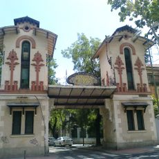
Carabanchel, Administrative district in southern Madrid, Spain

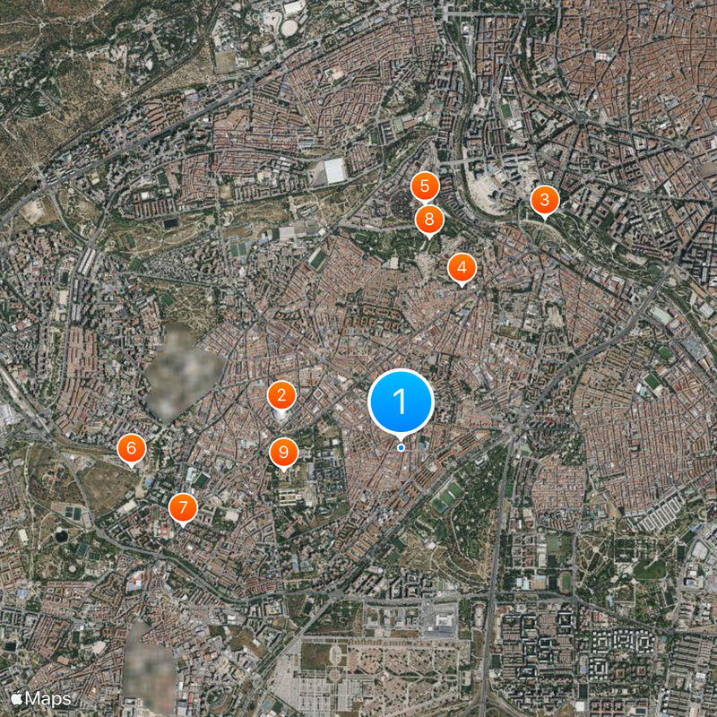
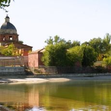
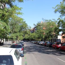
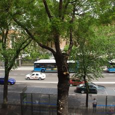
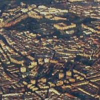
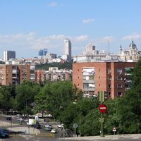
Carabanchel is a district in the southern part of Madrid that stretches across seven neighborhoods from the Manzanares River to the M-40 ring road. The area includes residential zones, green spaces along the river, and former industrial sites that now serve new purposes.

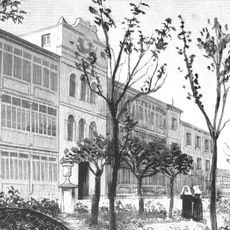
In 1936, a defense line during the Battle of Madrid ran through here during the civil war, remaining contested for several months. In the second half of the 20th century, the area grew through large housing projects that attracted workers and families from other regions.

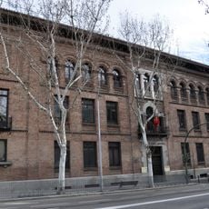
The former ISO industrial zone now houses studios and workshops where artists work and develop their projects. Visitors can explore open studios on selected days and watch the creative process firsthand.

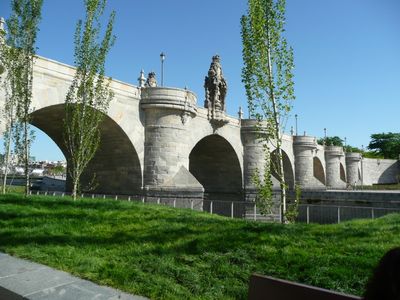
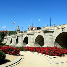
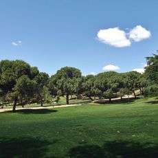
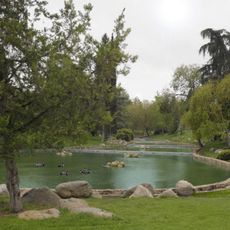
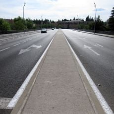
Metro Line 5 connects the district to central Madrid through several stations, including Vista Alegre and Oporto. Those wanting to explore the Manzanares River will find bike and pedestrian paths there that work well for walks and green outings.

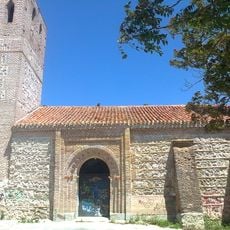
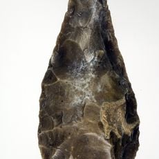
Beneath the modern cityscape lie Roman archaeological sites that show remains from the Carpetanian period through to modern times. Archaeologists have uncovered structures here that offer insights into centuries of different settlements.

Location: Madrid

Inception: June 8, 1948

Shares border with: Arganzuela, Usera, Leganés, Latina, Villaverde

Website: https://madrid.es/portales/munimadrid/es/Inicio/El-Ayuntamiento/Carabanchel?vgnextfmt=default&vgnextchannel=a48aca5d5fb96010VgnVCM100000dc0ca8c0RCRD

GPS coordinates: 40.38367,-3.72799

Latest update: December 13, 2025 18:56

Photos
Reviews

Visited this place? Tap the stars to rate it and share your experience / photos with the community! Try now! You can cancel it anytime.

« Carabanchel - Administrative district in southern Madrid, Spain » is provided by Around Us (aroundus.com). Images and texts are derived from Wikimedia project under a Creative Commons license. You are allowed to copy, distribute, and modify copies of this page, under the conditions set by the license, as long as this note is clearly visible.

Discover hidden gems everywhere you go!

From secret cafés to breathtaking viewpoints, skip the crowded tourist spots and find places that match your style. Our app makes it easy with voice search, smart filtering, route optimization, and insider tips from travelers worldwide. Download now for the complete mobile experience.

Around Us App Screenshot

A unique approach to discovering new places

Le Figaro

All the places worth exploring

France Info

A tailor-made excursion in just a few clicks

20 Minutes