Enable Location

We need your location to show you interesting places around you

Discover nearby places

Find interesting locations and hidden gems around you

Precise directions

Get accurate directions and distances to places

Your location is never shared with other users. It's only used when you tap the location button.

Chamberí

Log in to your account

Start exploring — it's free

Trusted by 62,834 travelers worldwide

Continue with Google
Continue with Apple
or

We will send you a code to connect

By continuing, you accept our Terms and Conditions and our Privacy Policy

Check your inbox

We've sent a pincode in your inbox. Please enter the code below.

Chamberí, Administrative district in central Madrid, Spain.

Chamberí is an administrative district in central Madrid comprising six neighborhoods: Gaztambide, Arapiles, Trafalgar, Almagro, Ríos Rosas, and Vallehermoso. The streets are laid out wide and mostly straight, making it easy to find your way around.

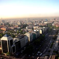
The area developed in the 1860s as part of the Castro Plan, which systematically organized Madrid's northward expansion. Agricultural fields were transformed into residential neighborhoods with wide avenues that still shape the character today.

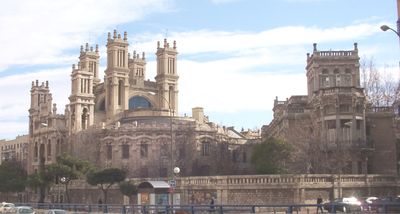
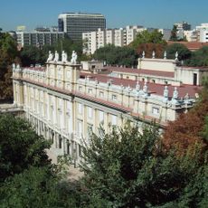
The name comes from an 18th-century country estate that once stood here and later gave its name to the entire area. Today the streets are lined mainly with late 19th-century residential buildings that feature wide balconies and wrought-iron railings.

You can explore the area easily on foot, as the wide sidewalks and clear layout make walking comfortable. Small shops and cafés line the main streets, where the market halls also invite you to browse.

Tall trees grow in the courtyards of some residential blocks, barely visible from the street. These green retreats feel surprisingly quiet and provide shade on hot summer days.

The community of curious travelers

AroundUs brings together thousands of curated places, local tips, and hidden gems, enriched daily by 60,000 contributors worldwide.

Start exploring
Location
Inception
November 4, 1898
Elevation above the sea
695 m
Shares border with
Centro, Tetuán, Chamartín, Moncloa-Aravaca, Salamanca
GPS coordinates
40.43279,-3.69719
Latest update
December 13, 2025 19:30
« Chamberí - Administrative district in central Madrid, Spain » is provided by Around Us (aroundus.com). Images and texts are derived from Wikimedia project under a Creative Commons license. You are allowed to copy, distribute, and modify copies of this page, under the conditions set by the license, as long as this note is clearly visible.

Discover hidden gems everywhere you go!

From secret cafés to breathtaking viewpoints, skip the crowded tourist spots and find places that match your style. Our app makes it easy with voice search, smart filtering, route optimization, and insider tips from travelers worldwide. Download now for the complete mobile experience.

Around Us App Screenshot

A unique approach to discovering new places

Le Figaro

All the places worth exploring

France Info

A tailor-made excursion in just a few clicks

20 Minutes

Around Us
Travel Guide & Maps
Download

Send to your phone

QR Code
1

Open the camera app on your mobile.

2

Point at the QR code with your camera. A notification will appear.

3

Tap the notification to open the link.