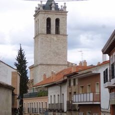
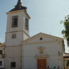
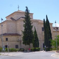
Titulcia, Municipality in Madrid region, Spain
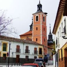
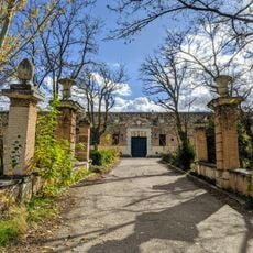
Titulcia is a municipality in the Madrid region that covers around 1,000 hectares at an elevation of approximately 500 meters (1,640 feet). The settlement lies southeast of the capital and is connected through local roads and pathways.
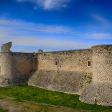
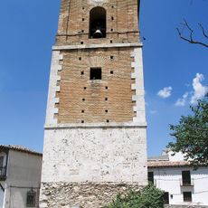
The settlement grew along an ancient military road connecting Emerita Augusta and Caesaraugusta, making it strategically important. The place carried the name Bayonne until 1814, reflecting the period of French occupation in the region.
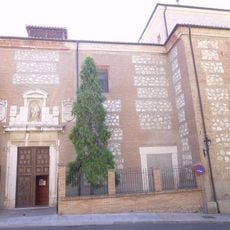
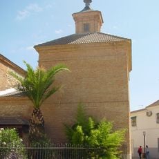
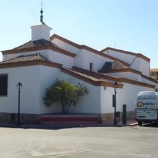
The town celebrates Easter Sunday with the Hornazo Festival, featuring traditional bread that holds religious meaning for the community. This celebration connects locals and visitors to the area's Christian traditions each year.
The town is well connected to surrounding areas, with nearby communities such as Valdemoro and Aranjuez close by. Visitors should expect local roads and pathways that run through the settlement and link it to neighboring areas.
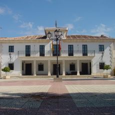
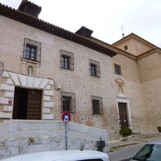
The town was rebuilt multiple times over the centuries, showing strong resilience through periods of destruction. During the Spanish Civil War, it served as divisional headquarters for Republican forces, highlighting its strategic role.
Location: Community of Madrid
Capital city: Titulcia
Elevation above the sea: 509 m
Part of: Mancomunitat de Ciempozuelos y Titulcia, Mancomunitat Intermunicipal de Servicios Sociales «Las Vegas»
Shares border with: Chinchón, Aranjuez, Ciempozuelos
Website: https://titulcia.es
GPS coordinates: 40.13667,-3.57000
Latest update: December 7, 2025 19:22
Parque Warner Madrid
10.8 km
Parque Warner Beach
10.5 km
Superman: La Atracción de Acero
10.4 km
Castle of Chinchón
12.4 km
Batman: Arkham Asylum
10.4 km
Coaster Express
10.3 km
Castle of Casasola
8.3 km
Church of Nuestra Señora de la Asunción
10.9 km
Tom y Jerry
10.6 km
Convent of Santa Clara, Valdemoro
10.7 km
The Astronaut
10.9 km
Casa de la Monta
10.6 km
Church of la Natividad de Nuestra Señora
7.9 km
Church of San Nicolás de Bari, Villaconejos
8.1 km
Hermitage of Santísimo Cristo de la Salud, Valdemoro
11.3 km
Archaeological site of El Espartal
7 km
Church of Santa María Magdalena
4.7 km
Church of Santa María Magdalena
41 m
Plaza de toros de Ciempozuelos
5.8 km
Matadero de Chinchón
12.1 km
Torre del Reloj
12.5 km
Plaza mayor de Titulcia
66 m
Town Hall of Titulcia
80 m
Silo of Seseña
6.9 km
Ermita de San Roque
12.3 km
Convent of the Poor Clares
12.2 km
Convent of Santa Clara
5.1 km
Ermita de Nuestra Señora del Consuelo
5 kmVisited this place? Tap the stars to rate it and share your experience / photos with the community! Try now! You can cancel it anytime.
Discover hidden gems everywhere you go!
From secret cafés to breathtaking viewpoints, skip the crowded tourist spots and find places that match your style. Our app makes it easy with voice search, smart filtering, route optimization, and insider tips from travelers worldwide. Download now for the complete mobile experience.
A unique approach to discovering new places❞
— Le Figaro
All the places worth exploring❞
— France Info
A tailor-made excursion in just a few clicks❞
— 20 Minutes