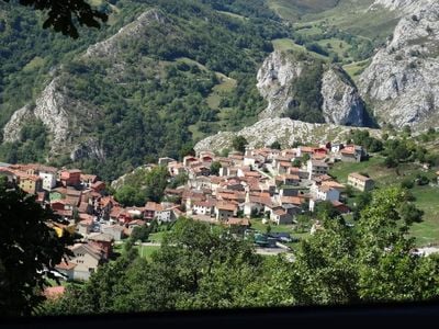
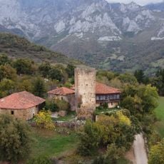
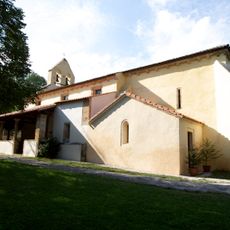
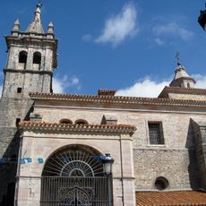
Sotres, Mountain parish in Cabrales, Spain.
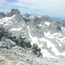
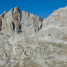
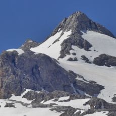
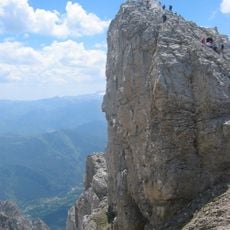
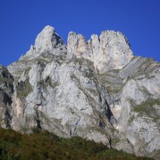
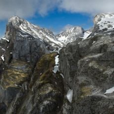
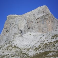
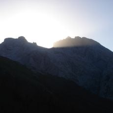
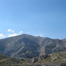
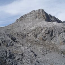
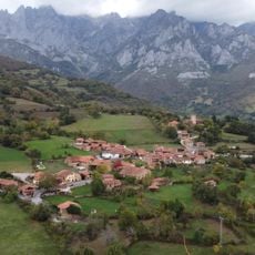
Sotres sits at 1,023 meters elevation within Picos de Europa National Park, surrounded by the Andara and Central Massifs. The settlement forms a small community nestled in this high mountain terrain of Asturias.
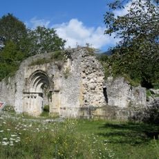
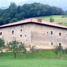
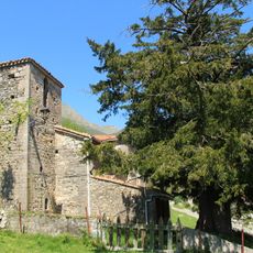
The settlement developed over centuries using traditional Asturian building methods adapted to steep terrain and harsh mountain weather. These architectural responses show how people learned to live in this high-altitude environment.
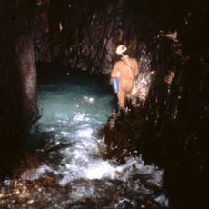
The people of Sotres keep alive the ancient tradition of making Cabrales cheese, which is stored and aged in natural limestone caves surrounding the village. This practice shapes the community's daily rhythm and connects residents to their mountain home.
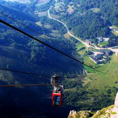
To reach Sotres, follow the mountain road from Carreña through about 19 kilometers of alpine terrain. The route demands careful driving and awareness of sudden weather changes at this elevation.
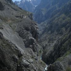
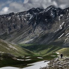
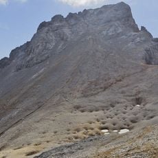
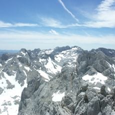
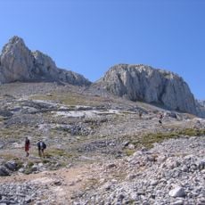
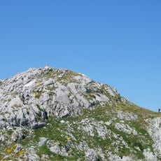
The village marks the endpoint of the GR-71 hiking trail, which connects through the Saja Nature Reserve to the wider European hiking network. Trekkers finish their journey here while taking in views of the mountain landscape.
Location: Cabrales
Elevation above the sea: 1,023 m
Shares border with: Tielve, Bulnes
Address: Sotres, 33554 Cabrales, Asturias, Spain
GPS coordinates: 43.23308,-4.74922
Latest update: January 16, 2026 09:15
Cares Trail
11.5 km
Naranjo de Bulnes / Picu Urriellu
6.6 km
Picos de Europa National Park
7.8 km
Torre Cerredo
9.3 km
Fuente Dé cable car
11.1 km
Peña Vieja
8.2 km
Sistema del Trave
8.9 km
Torre de los Horcados Rojos
8.9 km
Pico Tesorero
9.5 km
Torre de Mogrovejo
10 km
Torre del Llambrión
11 km
Morra de Lechugales
4.9 km
Pico de los Cabrones
9.3 km
Church of San Pedro de Plecín
11.4 km
Peña Remoña
11.5 km
La Vidre Bridge
9.5 km
Church of Santa María de Llas
9.8 km
Iglesia de San Pedro
11.7 km
Pico de la Padiorna
11.1 km
Peña Olvidada
8.8 km
Casa de Cernuda
10.6 km
La Rasa de la Inagotable
4.8 km
Neverón de Urriellu
7.7 km
Pico Samelar
5.4 km
Picu Valdomingueru
3.7 km
Field of church of San Pablo de Arangas
11.3 km
Cabeza la Mesa
3.4 km
Conjunto Histórico- Lugar de Mogrovejo
10.1 kmVisited this place? Tap the stars to rate it and share your experience / photos with the community! Try now! You can cancel it anytime.
Discover hidden gems everywhere you go!
From secret cafés to breathtaking viewpoints, skip the crowded tourist spots and find places that match your style. Our app makes it easy with voice search, smart filtering, route optimization, and insider tips from travelers worldwide. Download now for the complete mobile experience.
A unique approach to discovering new places❞
— Le Figaro
All the places worth exploring❞
— France Info
A tailor-made excursion in just a few clicks❞
— 20 Minutes