Enable Location

We need your location to show you interesting places around you

Discover nearby places

Find interesting locations and hidden gems around you

Precise directions

Get accurate directions and distances to places

Your location is never shared with other users. It's only used when you tap the location button.

Cares Trail

Log in to your account

Start exploring — it's free

Trusted by 62,990 travelers worldwide

Continue with Google
Continue with Apple
or

We will send you a code to connect

By continuing, you accept our Terms and Conditions and our Privacy Policy

Check your inbox

We've sent a pincode in your inbox. Please enter the code below.

Cares Trail
Discussion Reviews 3 Photos 1 Collections
73.8k Popularity

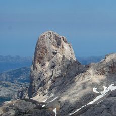
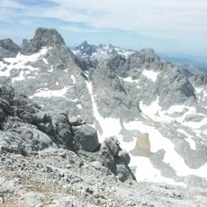
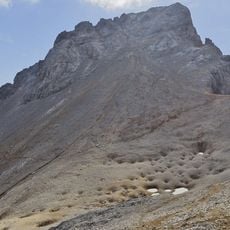
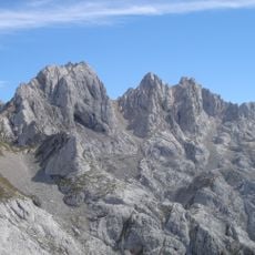
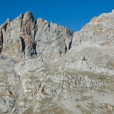
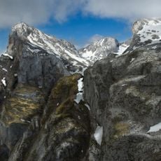
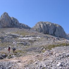
Cares Trail, Hiking trail in Picos de Europa National Park, Spain.

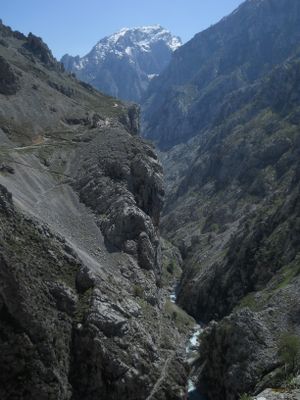
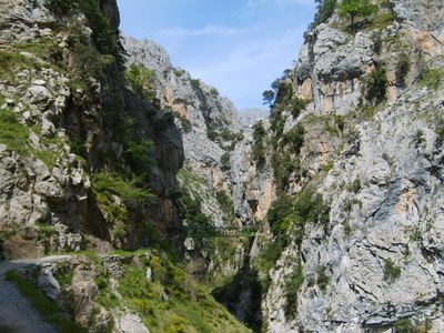
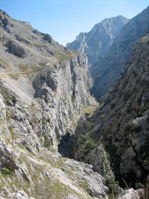
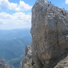
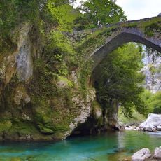
Cares Trail is a hiking trail in Picos de Europa National Park that follows a twelve-kilometer gorge between Poncebos in Asturias and Caín de Valdeón in León. The path passes through seventy tunnels carved into rock faces and crosses several bridges as it traces the line of an old canal channel.

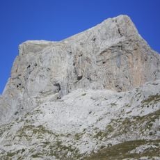
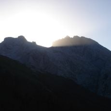
The path was carved into limestone cliffs between 1945 and 1950 to maintain a hydroelectric canal. Eleven workers died during the construction.

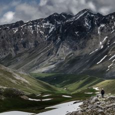
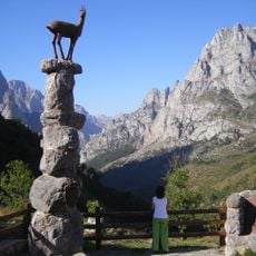
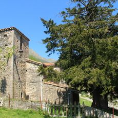
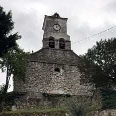
Shepherds once relied on this route as their only link between remote settlements when deep snow blocked other passages. Stone markers and narrow recesses along the way still show where travelers paused to shelter from wind and rain.

The full route requires about six hours for the round trip, so starting early in the day is advisable. The path is mostly narrow, with sections running close to rock walls that can become slippery when wet.

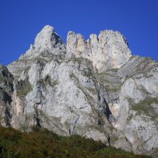
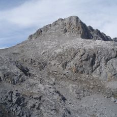
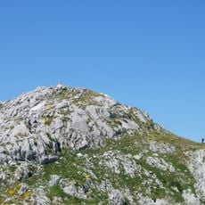
The path holds a steady elevation of 530 meters (1,740 ft) throughout most of its length, except for the initial two-kilometer (1.2 mi) climb from Poncebos. This constant level allows a steady pace through the entire gorge without further ascents.

The community of curious travelers

AroundUs brings together thousands of curated places, local tips, and hidden gems, enriched daily by 60,000 contributors worldwide.

Start exploring
GPS coordinates
43.23940,-4.89030
Latest update
December 13, 2025 17:20
Heritage of Asturias in Spain: ancient churches, wild beaches and mountains

Asturias in Spain: old churches, wild beaches, and mountains. The coast has secret bays and cliffs where rocks meet the ocean. Around Llanes and Cudillero, beaches hide beneath green hills. Inland, parks and caves show signs of very old human activity. These places give Asturias its character,...

Reviews
Share your experience

No review yet

Discussions
Start a discussion...

No discussion yet

« Cares Trail - Hiking trail in Picos de Europa National Park, Spain » is provided by Around Us (aroundus.com). Images and texts are derived from Wikimedia project under a Creative Commons license. You are allowed to copy, distribute, and modify copies of this page, under the conditions set by the license, as long as this note is clearly visible.

Discover hidden gems everywhere you go!

From secret cafés to breathtaking viewpoints, skip the crowded tourist spots and find places that match your style. Our app makes it easy with voice search, smart filtering, route optimization, and insider tips from travelers worldwide. Download now for the complete mobile experience.

Around Us App Screenshot

A unique approach to discovering new places

Le Figaro

All the places worth exploring

France Info

A tailor-made excursion in just a few clicks

20 Minutes

Around Us
Travel Guide & Maps
Download

Send to your phone

QR Code
1

Open the camera app on your mobile.

2

Point at the QR code with your camera. A notification will appear.

3

Tap the notification to open the link.