Asón-Agüera, River system and comarca in eastern Cantabria, Spain.
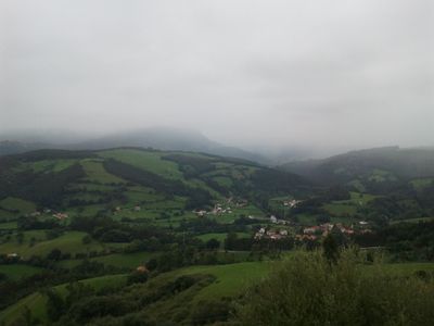
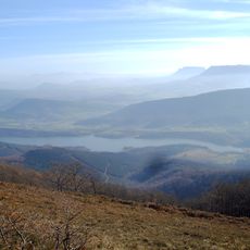
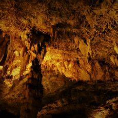
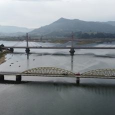
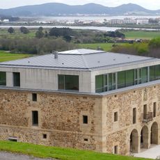
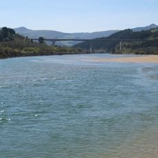
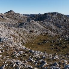
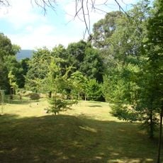
Asón-Agüera is a river system in eastern Cantabria formed by two main rivers and their valleys, surrounded by limestone mountains. The territory includes numerous municipalities and shows diverse landscapes ranging from water courses to elevated mountain terrain.
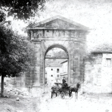
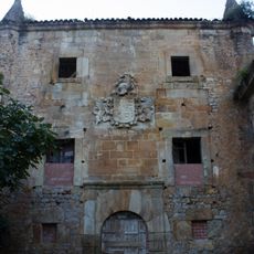
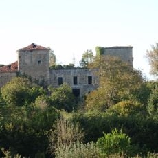
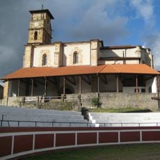
The region formed part of the Merindad de Vecio during medieval times, with settlements developing along riverbanks and mountain routes. These early patterns of inhabitation along water and higher ground continue to shape the territory today.
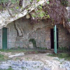
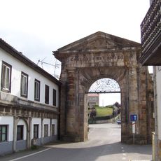
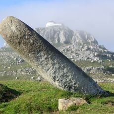
Stone carving remains a working craft in several villages here, visible in the structures and local workshops that visitors encounter. Fishing traditions also shape how people relate to the rivers and landscape.
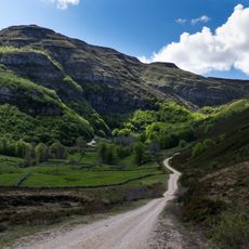
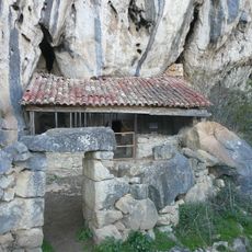
Multiple hiking trails connect the valleys, with parking available near major natural features and villages throughout the region. Conditions vary by season, so visitors should prepare appropriately for mountain weather and terrain.
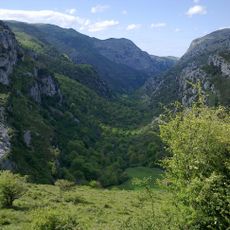
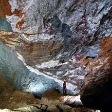
The Asón waterfall drops about 70 meters directly from a limestone cliff, fed by a major karstic spring system hidden within the mountains. This natural feature represents one of the most significant water formations of this type in northern Spain.
The community of curious travelers
AroundUs brings together thousands of curated places, local tips, and hidden gems, enriched daily by 60,000 contributors worldwide.